
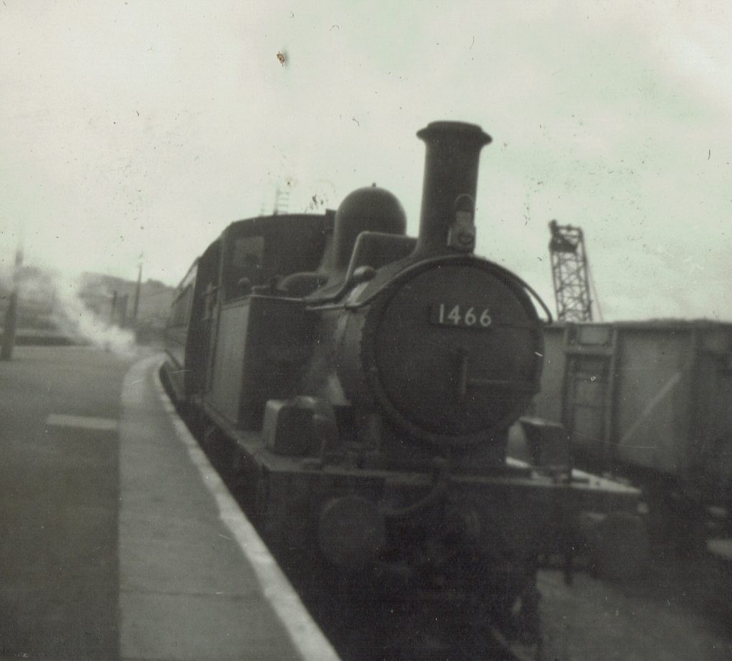
The railway’s friend, Richard Holladay, kindly sent some photographs that he had taken from the window of an Exe Valley train when he was a lad, which must have been not long before the service was withdrawn, in October, 1963.
It would have been simple to identify the locations and add some captions, but the scout took it upon himself to take corresponding shots, or ones as near as possible to the original locations.
This then provided the opportunity to take some more along the line, which involved several exploratory rides.
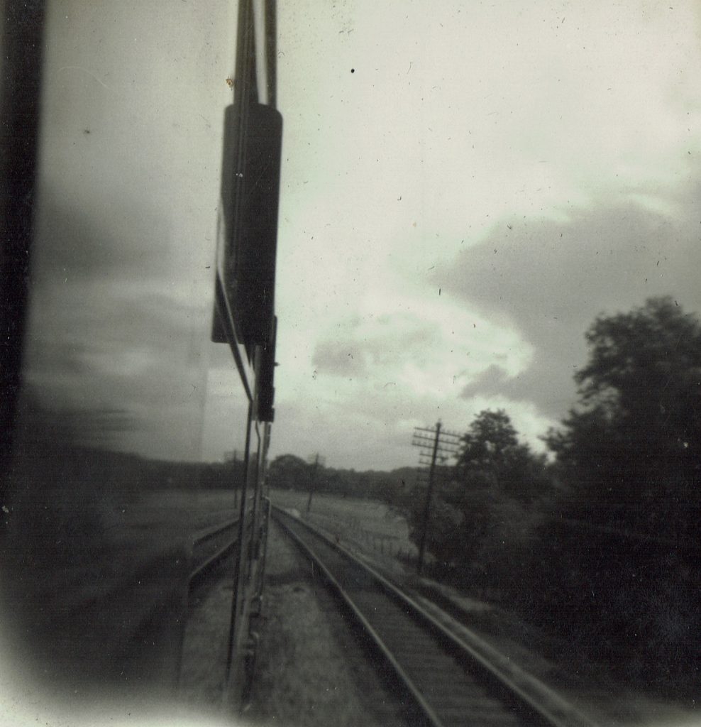
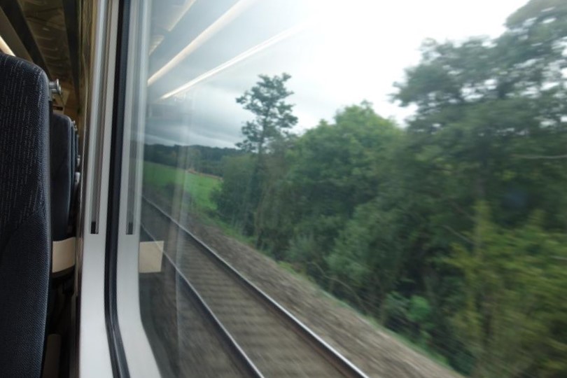
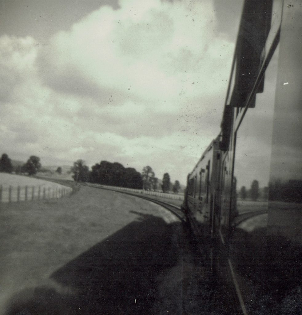
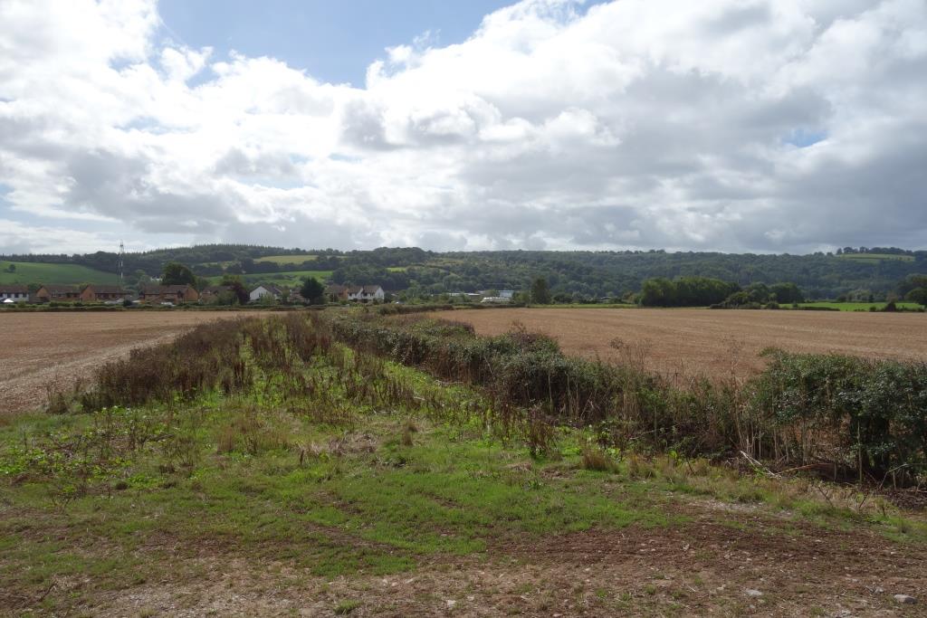
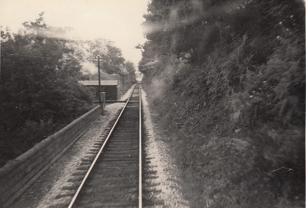
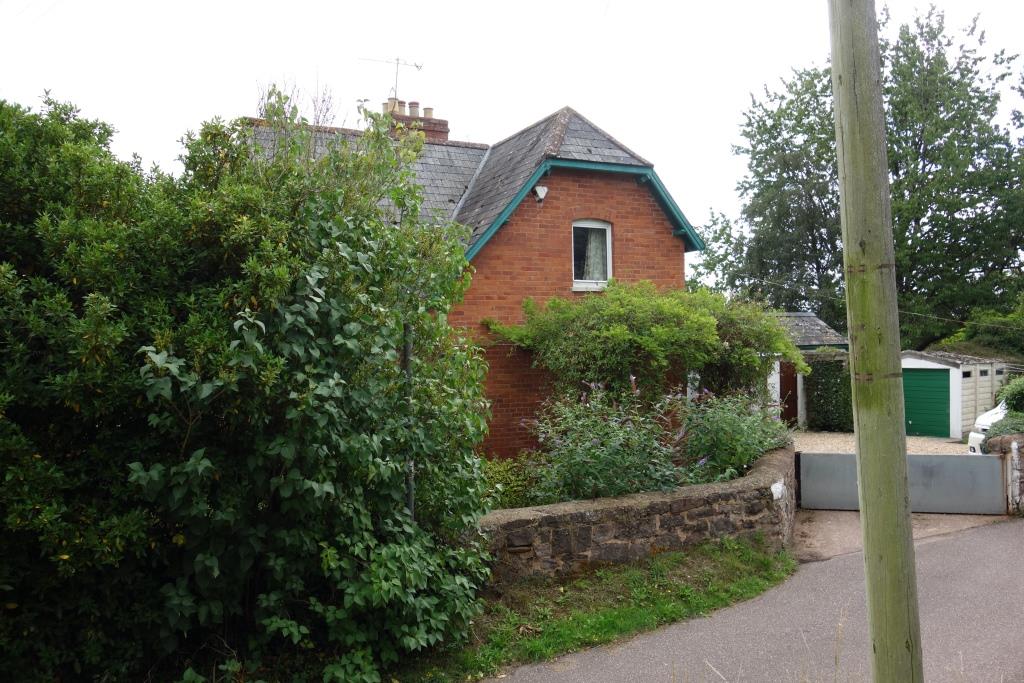
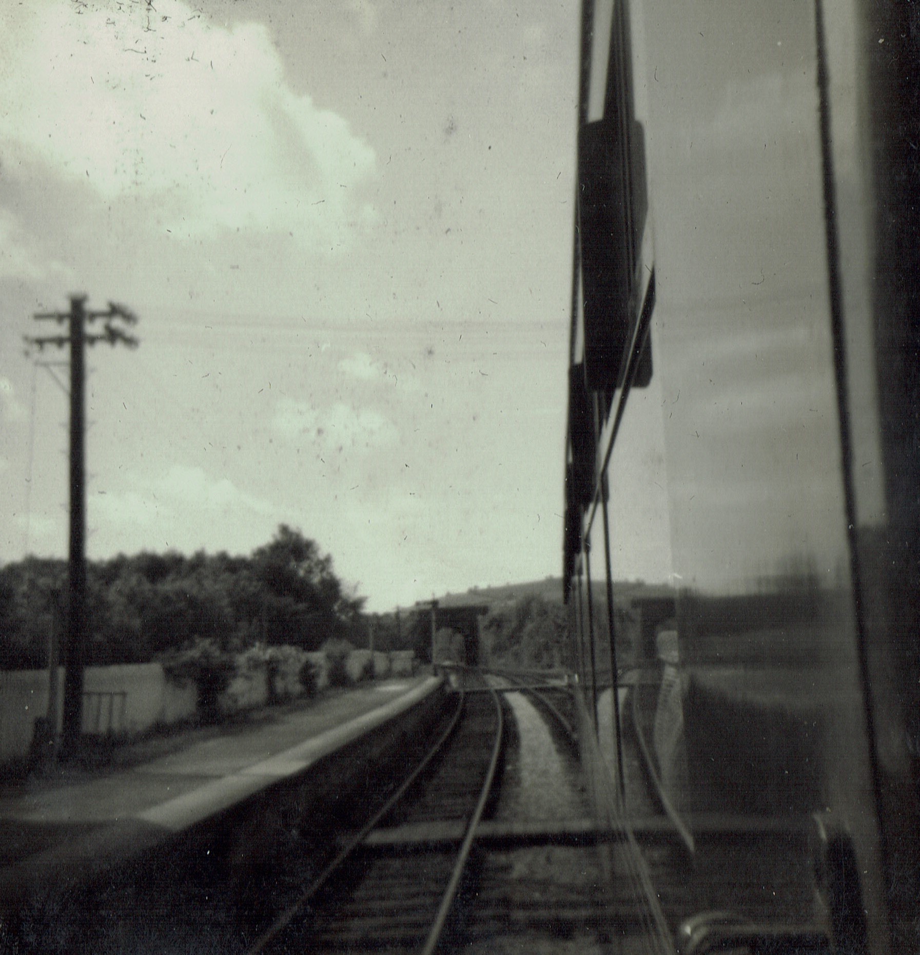
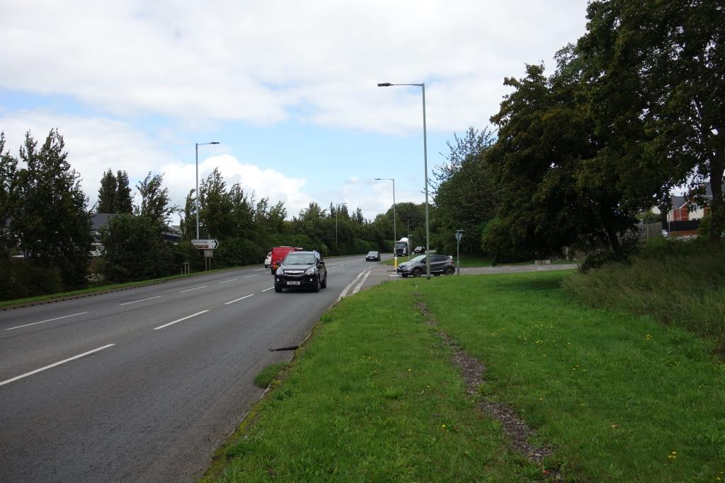
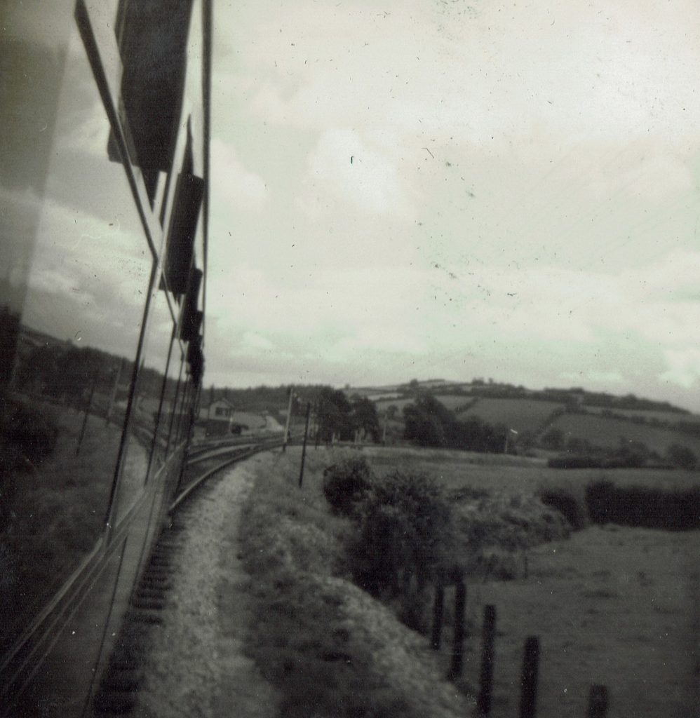
Richard took his first shot from the droplight of the second coach, when the branch train was on the main line between Cowley Bridge Junction and Stafford Bridge. The curvature and the cover gave away the location, which the scout captured while sealed within a wretched “bullet train.”
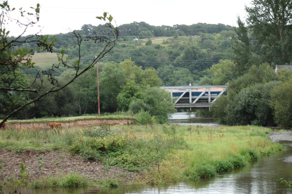
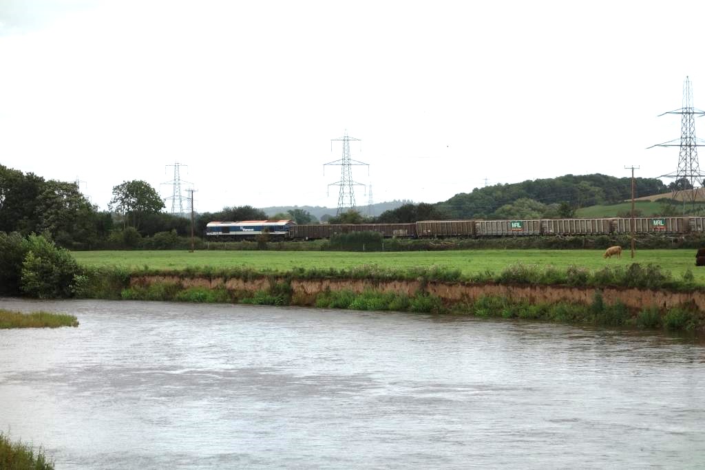
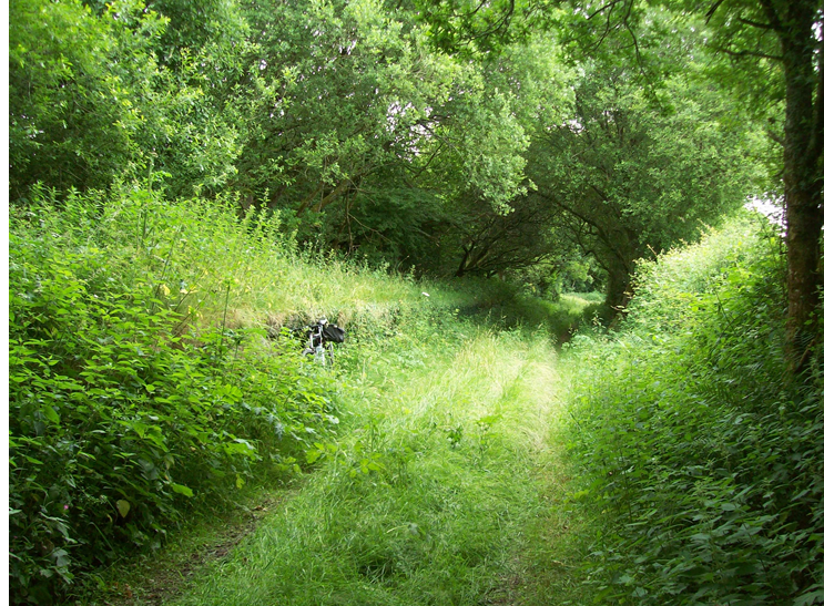
After Stafford Bridge, Richard’s train would have crossed the Exe again by means of North Bridge. The scout was following a footpath by the river when a horn heralded the approach of the daily train of empty minerals from Riverside Yard.
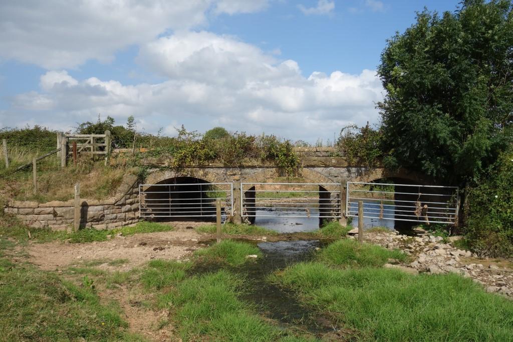
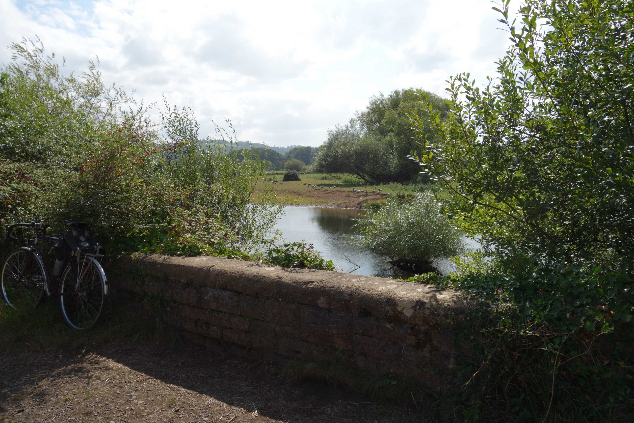
The intake for Exeter’s Pynes Water Treatment Works is at right. It was sited here because the Culm, which joins the Exe just beyond the bridge, was once heavily polluted by the many paper mills.
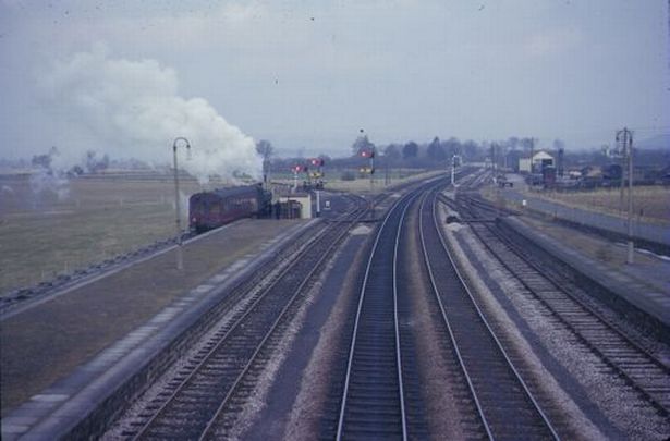
Additionally, the branch, seen diverging left, was given its own platform, shorter than the Up line face of the island.
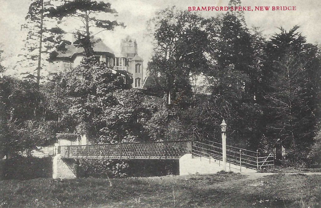
The station was closed in 1960 and the Exe Valley service had only months to run before it was withdrawn in October, 1963.
The Tiverton train has only slowed to collect the token from the junction box, off picture at left.
In a few years the goods yard at top right will also be gone. Photographer: Peter Gray.
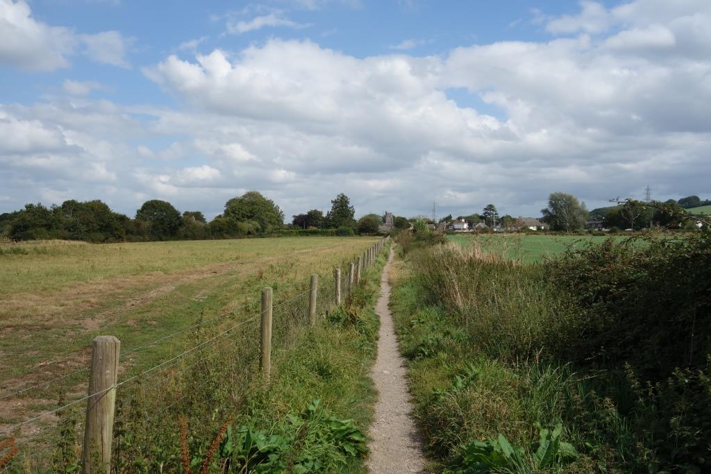
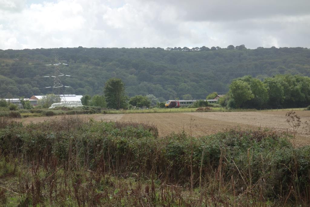
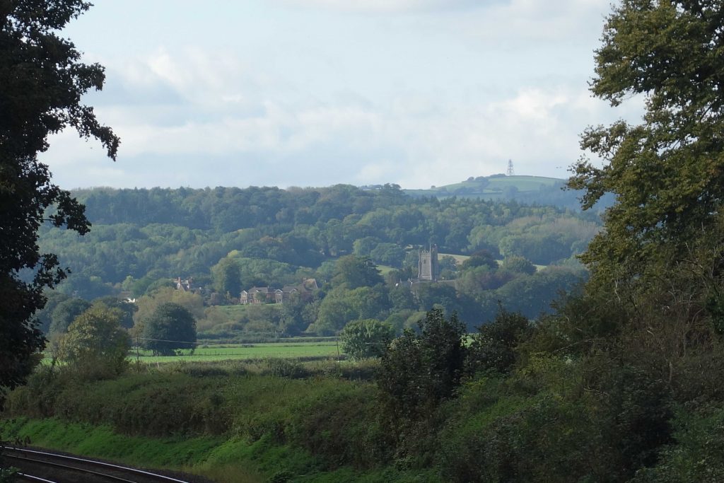
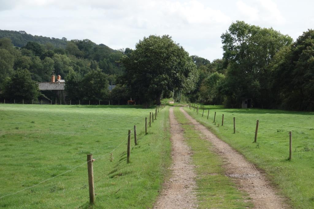
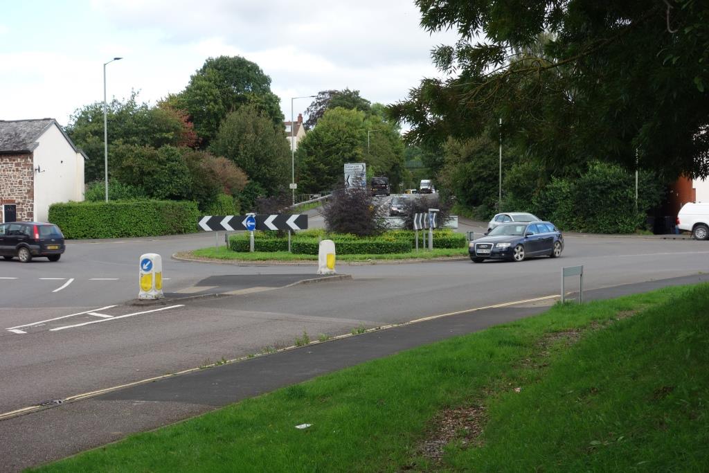
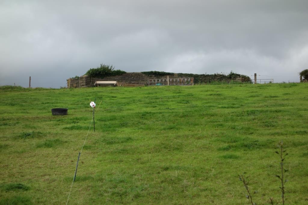
Richard’s next shot was taken as his train left Stoke Canon. Even had the scout been able to wander over the field through which the railway ran, it would have been very difficult to find the exact position of the train. So “today’s” photo is taken from where the public footpath once crossed the line, but now begins to follow it towards Brampford Speke, and from where both former railway boundaries are intact.
Right: Looking back to Stoke Canon Crossing from the branch.
The Raddon Hills can be seen in the background.
Behind are the sheds on the site of Stoke Canon Paper Mill, once served by a leat fed from the River Culm. +
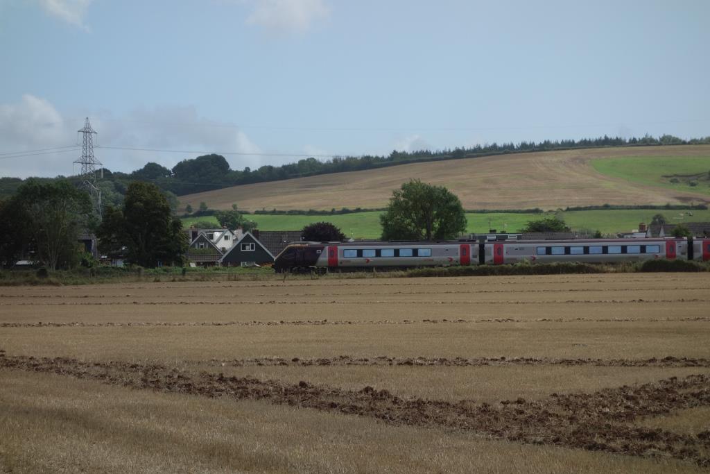
If Richard had been looking out of the other side, he would have seen the main line and Stoke Canon Crossing. He would not have seen what passes for a train nowadays.


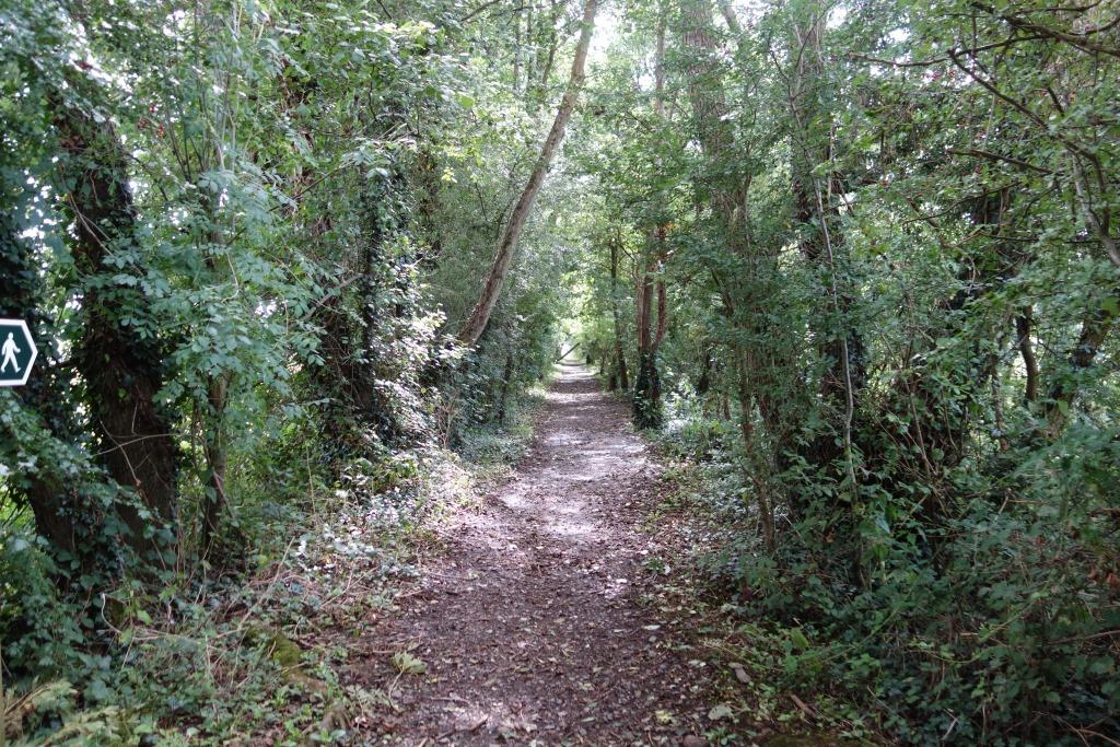
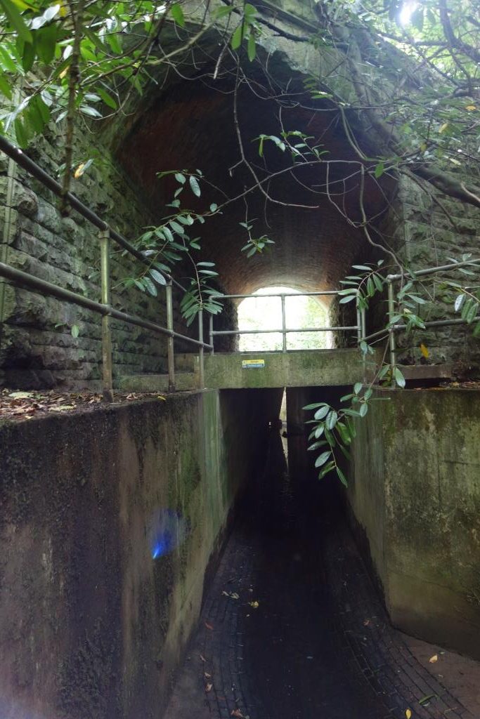
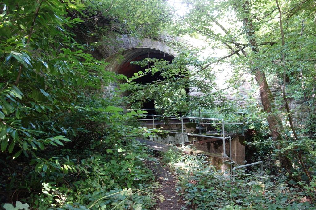
Though the scout had been to the level crossing and Brampford Speke many times over the years, he realized that it had been decades since he had walked between the two and so set off along the track.
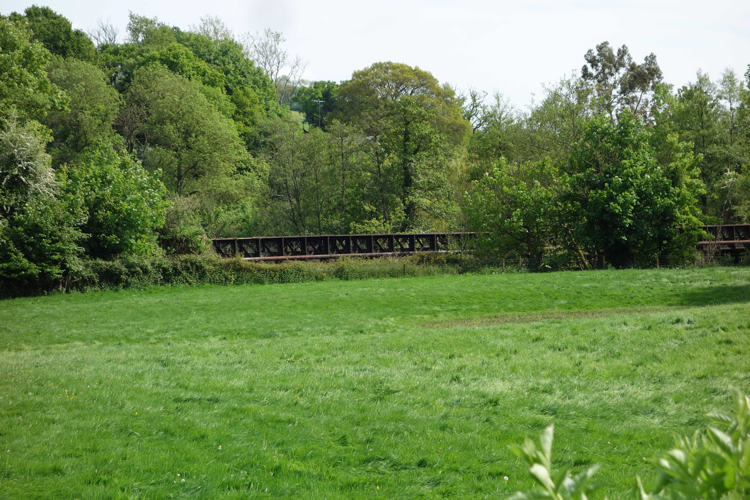
The three floodwater bridges were noticeably in poorer condition than when last seen and trees had grown up where there had been no more than scrub.


A lady gabbling into her walkie-talkie while at the same time picking blackberries greeted the scout as he went through the gate and continued towards the station footbridge.
He recalled that in the 1970s the meadow between Brampford Speke Halt and the river was grazed and provided an informal recreational area for villagers. On one occasion, the scout had gone there with a local family for the afternoon. He was armed with a junior hacksaw and intended to liberate a G.W.R. boundary marker, which stood above the ground. He soon gave up.
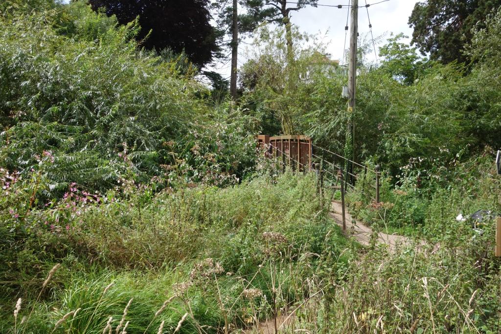
Today the meadow has been let go: Himalayan balsam has invaded and willow hides the footbridge.


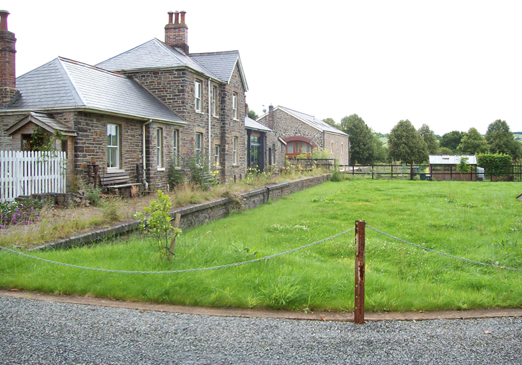
The station was downgraded to a halt in 1923. The station building was converted for residential use and a shelter provided for passengers.
July, 2021: After the postcard image above was copied, the original was offered to the owners of the former Station Master’s house, whom Richard had mentioned had been helpful to him. This resulted in an invitation to have a cup of tea in the garden, which, nine months later, the scout gladly took up while out on a ride with friend Gaelle.
After emptying a pot of tea and enjoying splendid homemade biscuits in the garden, while poring over old photographs and learning of the practicalities of living without road access, a viewing, as honest time wasters, of the station building next door was arranged; the place was for sale with a fabulous asking price.
Ed and Elaine were kind enough to let time-travelling Gaelle pose as a waiting passenger, who signals to the driver at this request stop and boards the train.


Right: In August, 2024, a notice pinned to a post reminded the scout of the person known to him, the owner of another old station, who went to a previous event and rather sneered at Ed and Elaine’s tranquil garden and quaint surroundings.
A clip from The Exe Valley Railway momentarily brings Brampford Speke to life.
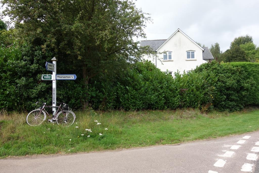
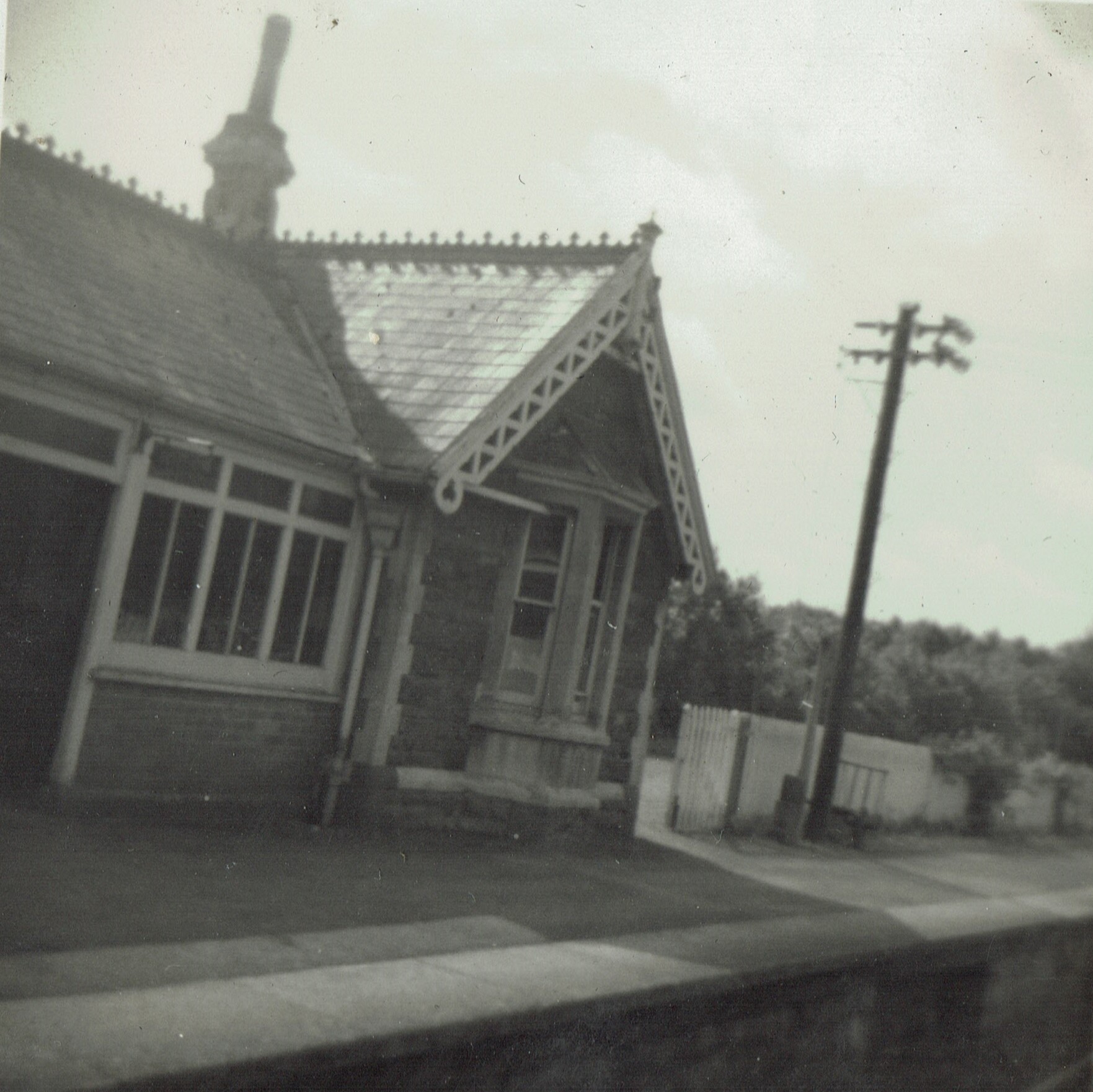
The next station was Thorverton, where Richard’s view from the train was of the entrance to the Down platform.
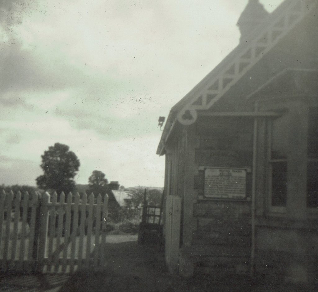
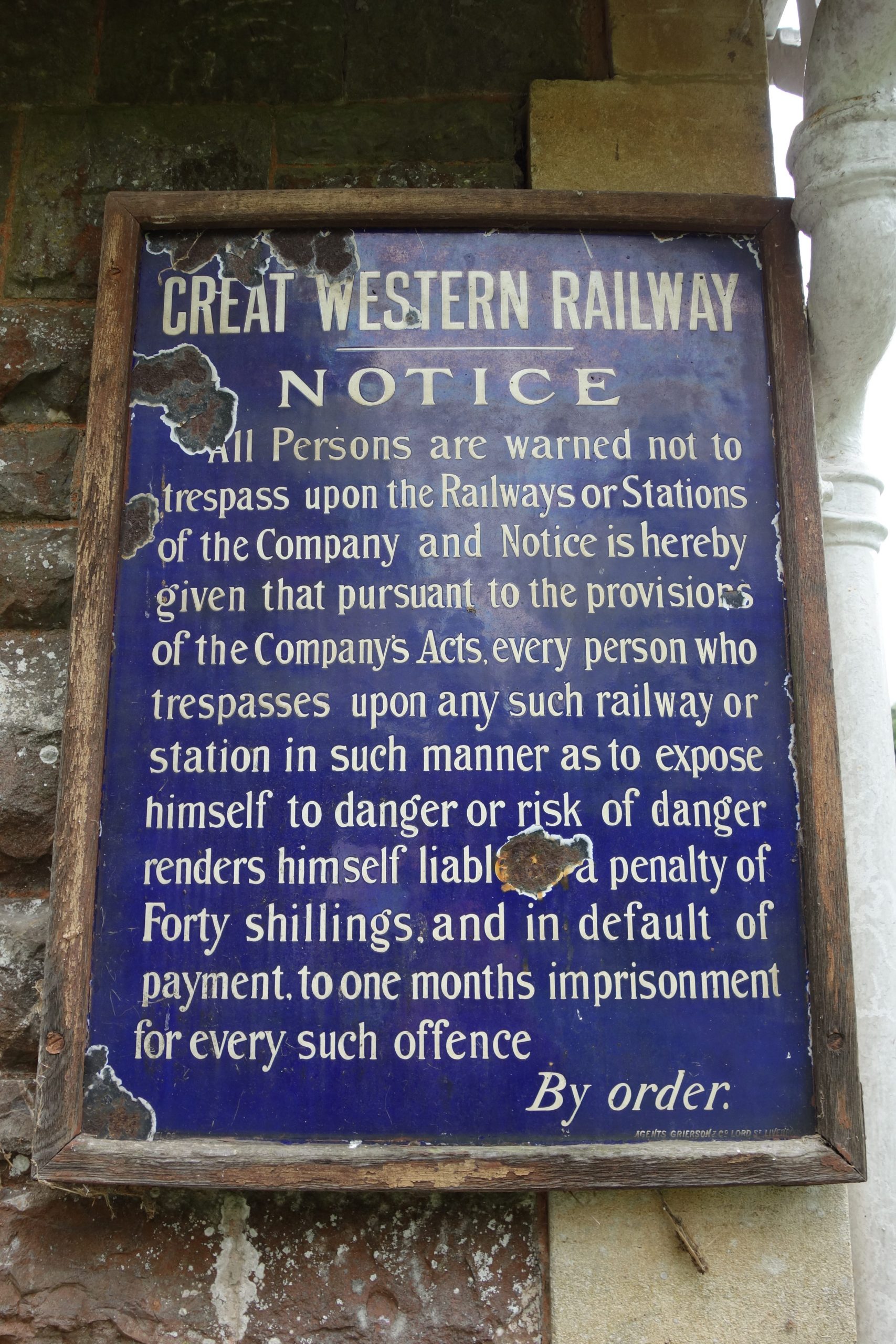
Note that “Great” has been painted out of “Great Western Railway” in the cast iron trespass notice attached to the wall.


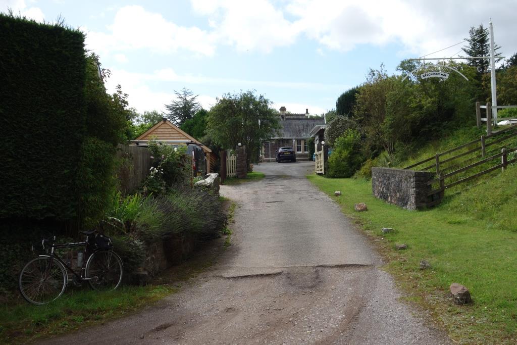
A loading gauge – possibly the one from the goods yard – has been erected on the approach and now serves as a bracket for “Beeching’s Way,” the name of the dwelling.
Although Beeching would have been a household name by the time the Exe Valley was closed, the closure was not strictly part of his notorious Reshaping plan. Exeter (St. David’s) to Dulverton was listed under “Passenger Services under Consideration for Withdrawal before the Formulation of the Report.” As Chairman of the B.R.B, Beeching would have approved the proposal.

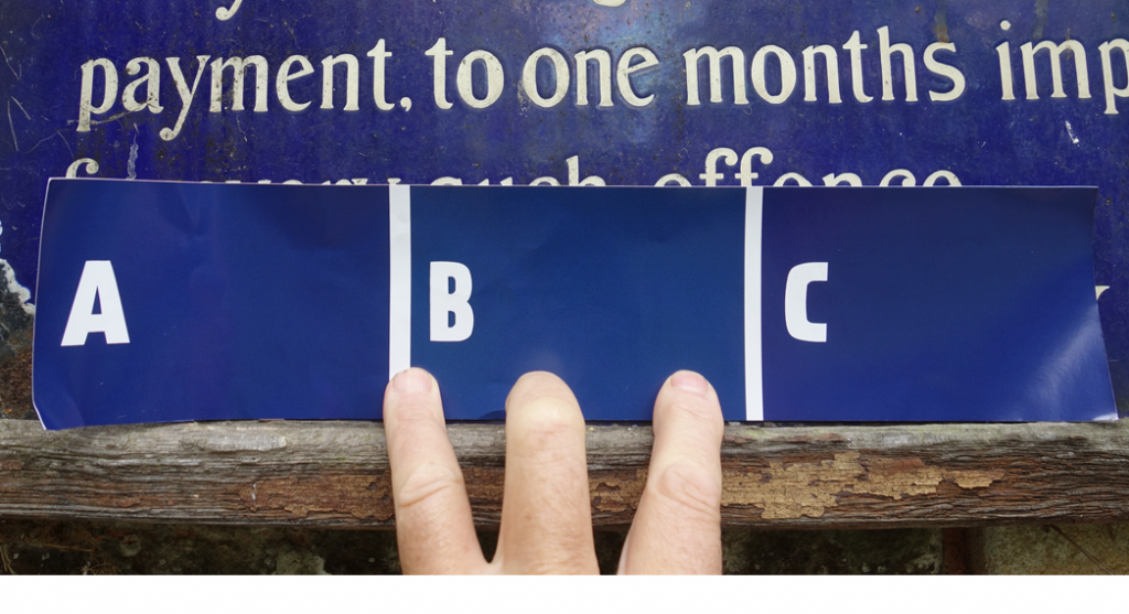
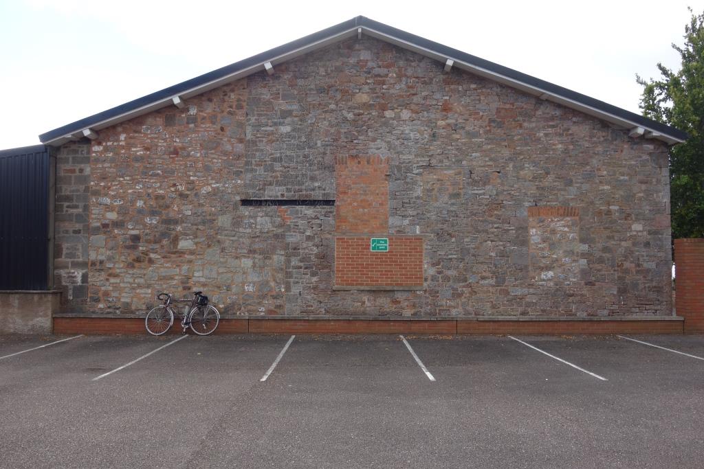
15th September, 2022: The railway had commissioned a reproduction enamelled trespass notice but the blue background had been matched only to photographs. The scout knew that there was an original not far away and so set off up the valley again.
He stopped at Up Exe Crossing, where the owner, a pharmacist from South Wales, was outside the old keeper’s cottage. Asked if he would mind his place being photographed, the fellow questioned the purpose but was happy when the scout spoke of his railway connection. A long and friendly conversation followed, covering topics such as Welsh doctors receiving £25 for needling their patients during the plague; the value of silver-impregnated dressings; and the behaviour of guests staying in holiday accommodation. The much extended cottage is now let through an agency.
He told the scout that the smattering of homes along the lane flooded but the old keeper’s house, on the embankment, had so far stayed dry.
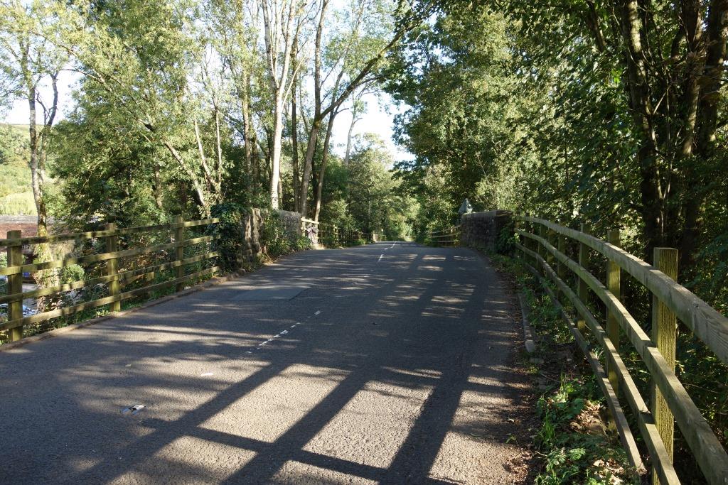
The lane that crosses the line here loops around and crosses it again at the station, 300 yards away. Part of the loop in an unmetalled “Byway Open to All Traffic.”


Exe Valley Branch stations were all convenient to their villages, although Up Exe and Silverton would have involved a stretch of the legs from the latter place. In fact, the Exe Valley station was just over a mile from the centre of Silverton; from there to Silverton Station on the main line was getting on for two miles.
Like Brampford Speke, Up Exe was downgraded to a halt after World War I; Silverton had been dropped from the name and so the place became Up Exe Halt. The station building was converted to a home and a waiting shelter provided for passengers.
These notices differ slightly; for instance, this one has no full stop. But it is in its original frame and has been left where it was first affixed. +


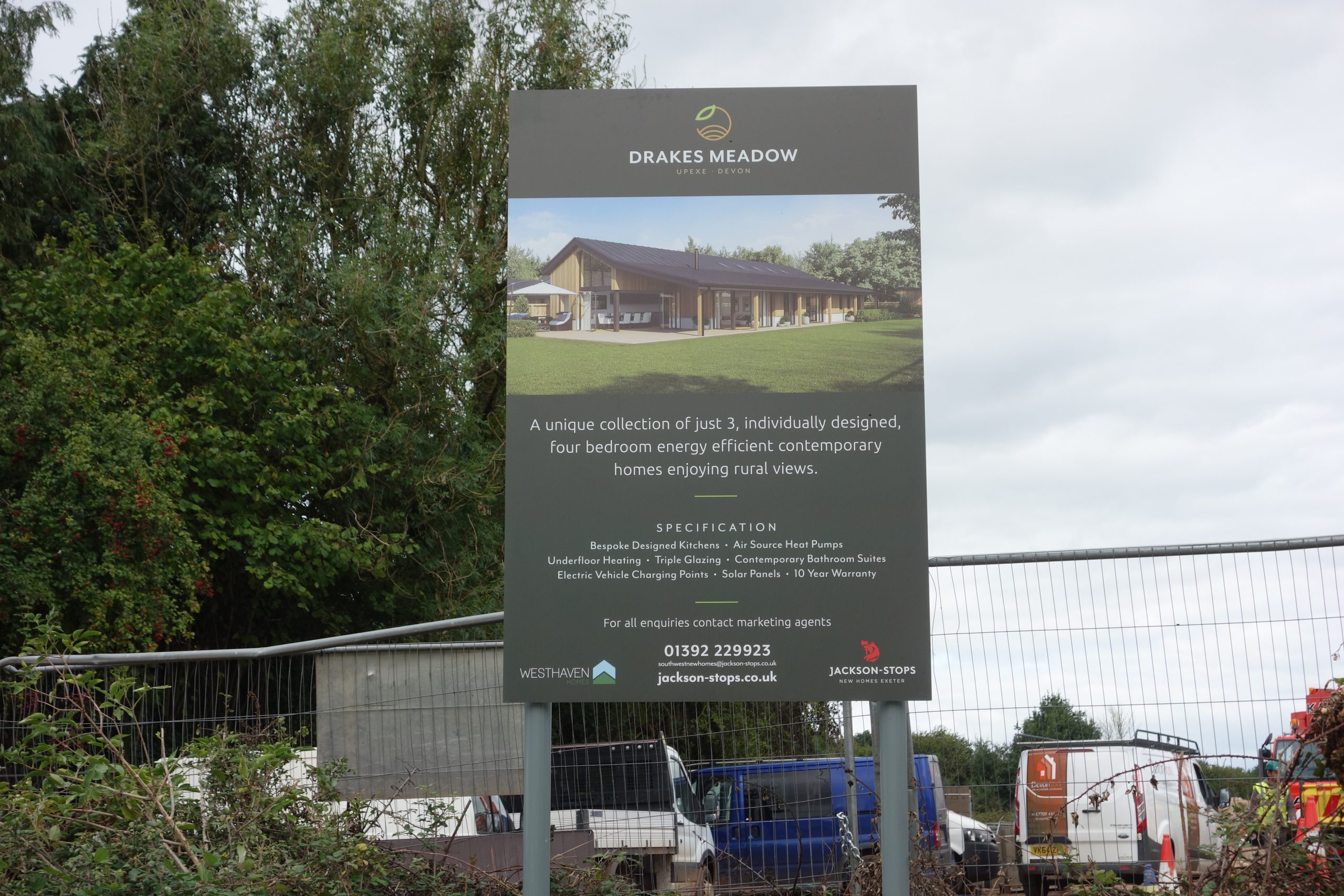
It is certain that the future owners of these homes, who will have the benefit of electric vehicle charging points, will never walk to the convenient bus stop. Would they though, if the option were there, walk the not much greater distance to the halt to catch a train? +
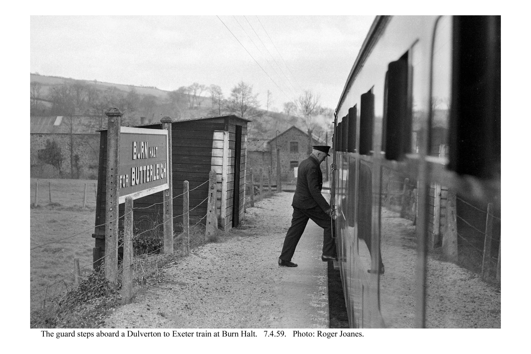
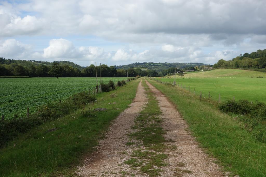
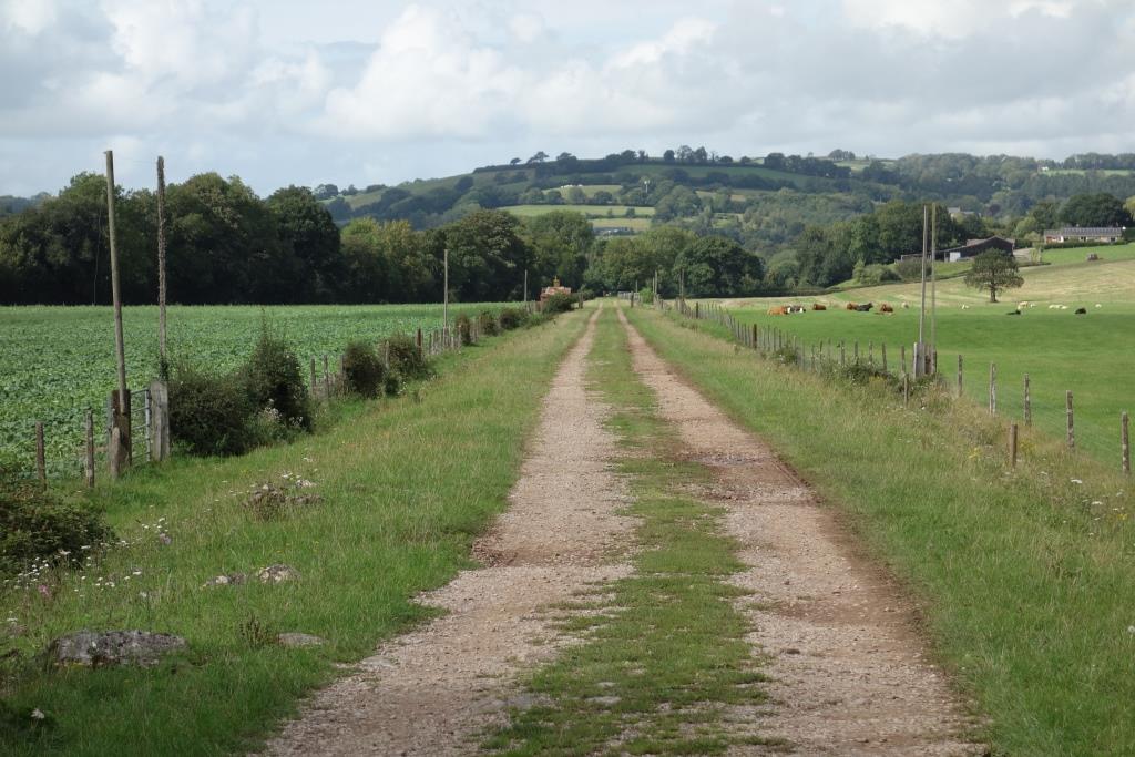
For more than a few years, the scout had passed the gate leading to Burn (for Butterleigh) Halt and wondered why it was becoming overgrown. Continuing from Up Exe in September, 2022, he determined to see if his suspicion was correct.


Between Up Exe Halt and Cadeleigh lay Copenhagen Crossing. It’s not certain that this was the correct name, but it became part of a track leading to Copenhagen, a farm house trapped by the railway and river. Although an accommodation crossing must have been installed from the beginning, on the turn-of-the-century surveys there appeared to be no proper track leading to the farm.
Richard next put his camera out of the window at Cadeleigh, the station that would have been Bickleigh, had there not already been one with this name in Devon.
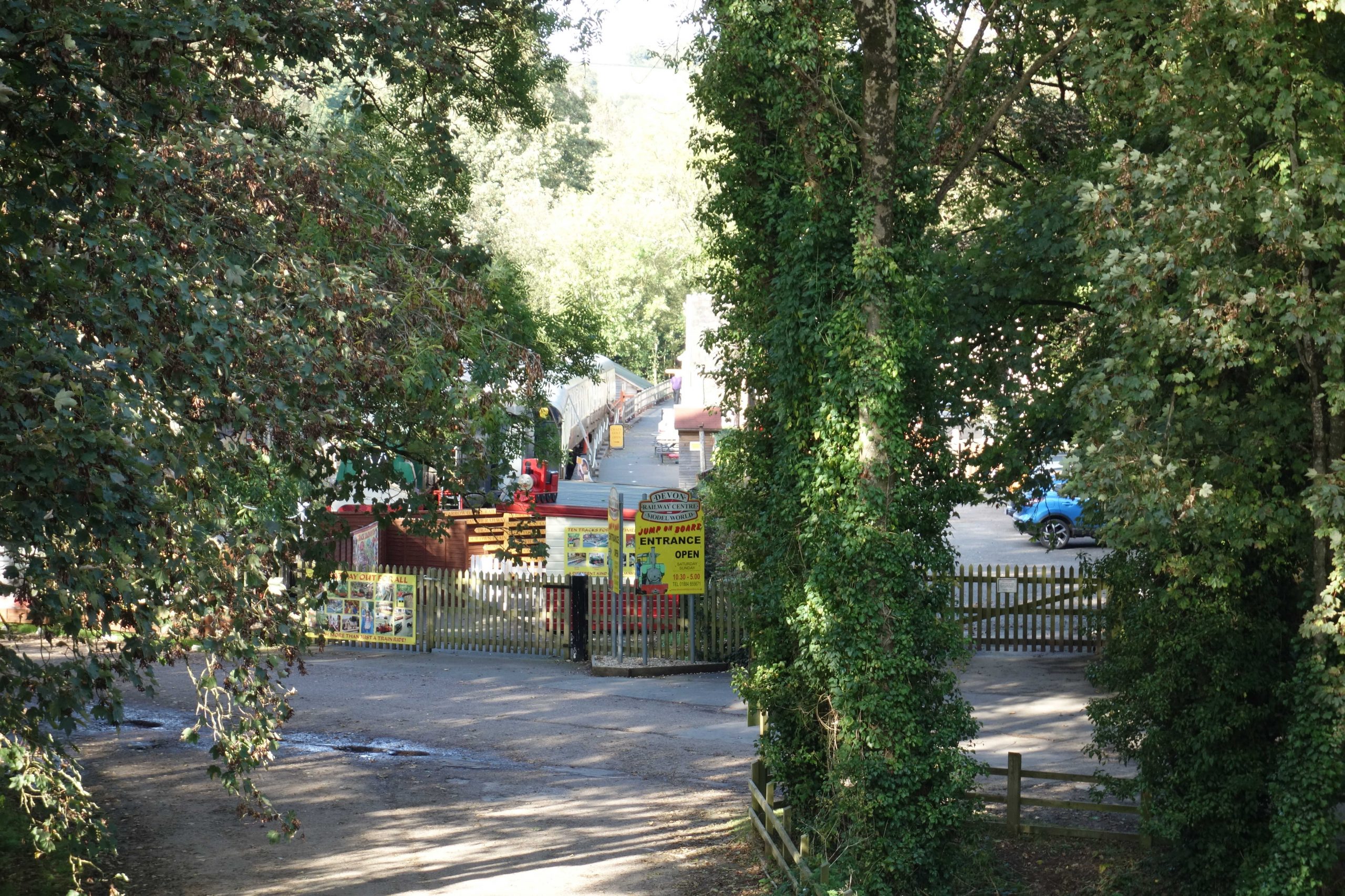
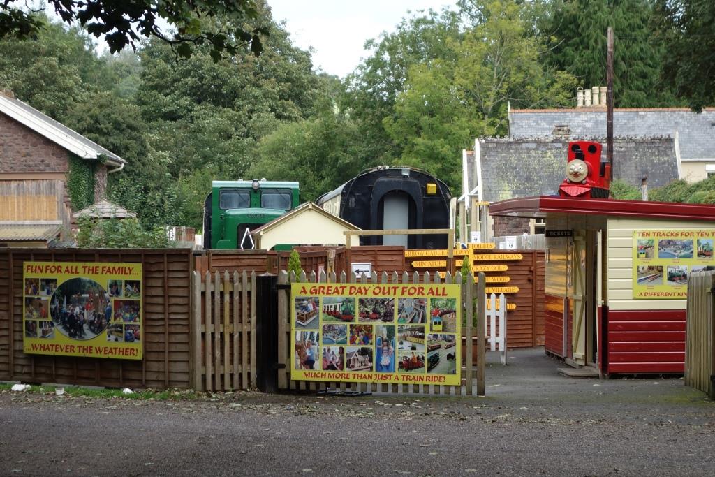
The last time the scout stood on the platform here was when the station had been bought from Devon County Council and the owner was busy laying the narrow gauge line that was to become part of the Devon Railway Centre.
Paying the admission charge in order for the scout to position himself where Richard was would have given little advantage, there being so many obstructions.


It was understood that the station had been bought by the county with a view to making a bypass of the old and narrow Bickleigh Bridge, which is frequently damaged by vehicles.
The A396 turnpike went over and under the line between Cadeleigh and Tiverton. At Howden Court, just outside town, the bridge was combined with the culvert carrying the Cotteybrook from one side of the line to the other, where it issued into the River Exe.
This holds fond memories for the scout because the railway adjoined the grounds of his prep school, where he boarded from 1965-71. The culvert, although strictly out of bounds, was irresistibly attractive to the boys.
It must have been little understood by the cub scout that the railway had been taken up only a year or two before his arrival. His only memory of the operational railway at Tiverton is of seeing mineral wagons standing on the bridge at West Exe.
Incidentally, in checking his old school reports to find which was his last term, he found these entries. History: Better work under pressure of Common Entrance. Art: Some very good work, with B.R. as the theme!
It must be many more than twenty years ago that the Cotteybrook Culvert was opened out and rebuilt in concrete. The brickwork invert, trodden by the disobedient cub scout, remains and shows the original curvature at each end. The concrete lid probably only serves to stabilize the bridge above.
It looks as if the culvert is now the responsibility of the Environment Agency, but it bears a railway-type identification mark with letters suggesting “Exe Valley Branch.” The scout’s E.A. contact was unable to dig in the files without a work-related reason to do so.
The bridge is owned by National Highways, which body inherited it as part of the “burdensome estate” from B.R.B. (Residuary).
May, 2023: Returning from Tiverton after a ride over the hills from Silverton, the scout stopped on the bridge which he must have passed over a thousand times. National Highways’s contractors had cleared away the growth and done some repairs; and, for the first time, the scout noticed that the parapet walls were offset from, and not parallel with, the spandrels.


The line continued on embankment to West Exe and the river bridge. Post war council housing estate, The Walronds, filled the low-lying land between the railway and the turnpike.


West Exe Halt was opened in 1928 to serve all the new housing west of the river, much of it occupied by employees of John Heathcoat’s mill, happily still going strong today. At busy times, a porter was sent from Tiverton to sell tickets from a hut at the end of the platform.
The scout remembers passing here shortly after he started at his Howden Court prep school in 1965 and seeing mineral wagons standing on the bridge; the line from Tiverton then extended just beyond it.
The bridge remained long after the line was lifted; the cub scout passed beneath its steel span hundreds of times. The roads were not altered until many years later.
An Up train calls at the halt.
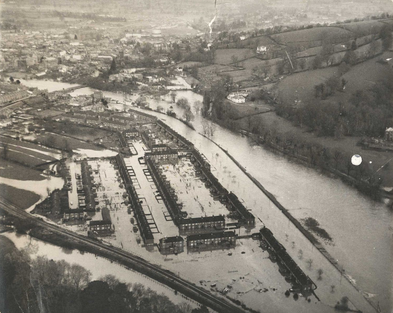
November, 2022: The Express & Echo published a pictorial article about the effect the terrible floods of October, 1960, had on Tiverton.


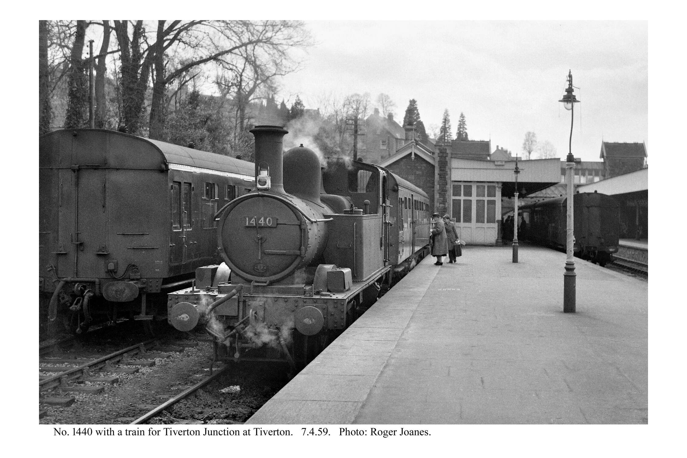
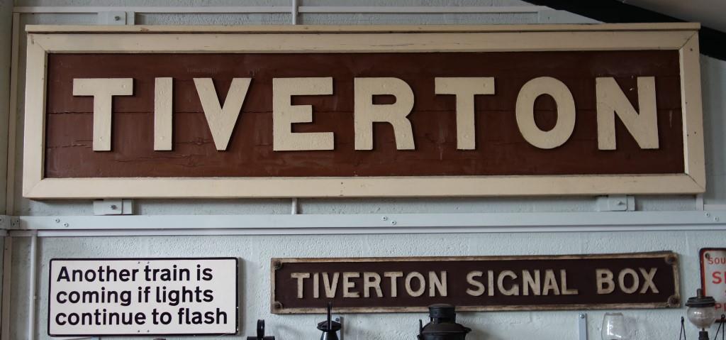
From beginning as a terminus of the line from Tiverton Junction, Tiverton became a four-platform station with an extensive goods yard.
First in, last out, the Tiverton Branch closed to passengers in 1964 and goods traffic ceased in 1967.
The cub scout saw the ruins of the station in later years from the bridge on Canal Hill but never had the freedom to explore them.
The buildings are on Station Road, now severed from Canal Hill by the A396, Great Western Way, which took the railway’s course and much of the station.
Now that the country is almost entirely dependent on oil, bitmac and rubber, government pretends to be concerned about “decarbonizing” transport.


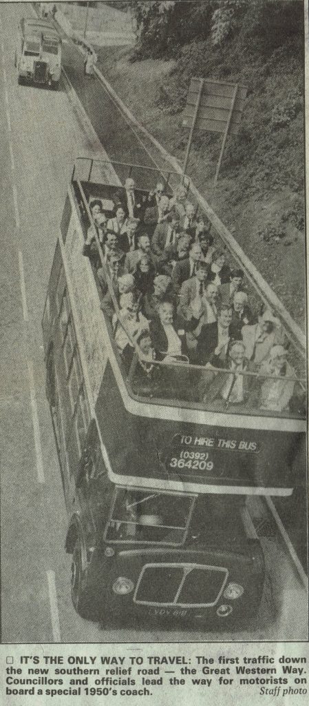
When this use of his photos was sent to Richard for approval, he came back with news clippings about the opening of the town’s bypass in May, 1994, which included pictures of the Red Bus Services open top bus hired to take dignitaries for a ceremonial run along the new road.
Richard, the owner of Red Bus Services, drove the bus and would have passed within yards of where he had stood on the station platform more than thirty years earlier.
The 1957 AEC Regent is pictured from the foot crossing which replaced the bridge carrying St. Andrew’s Street over the railway.
Tiverton’s mile-long “Southern Relief Road” had first been discussed more than 20 years before. It cost £8-million and 8,000 tons of concrete were used in its construction. Its opening enabled the part-pedestrianization of Fore Street.
One news report acknowledged: “The road is being named after the former railway line that it runs along for some of the way.” All of the way, actually.
The same month, this bus was used to operate “Rail Heritage Tours” in connection with the event commemorating the 150th anniversary of the B. & E. opening to Exeter.
The platform ends would have been in the foreground and the lines to Tiverton Junction and Dulverton would have diverged where the vehicles are in the distance. The goods shed remains behind the trees at left, this side of the building that can be seen.


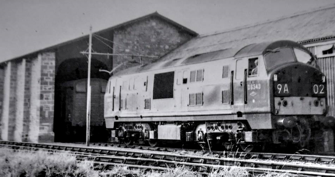
For an explanation of why the locomotive is thought “sad,” see http://www.teignrail.co.uk/whats-new.php#d6331
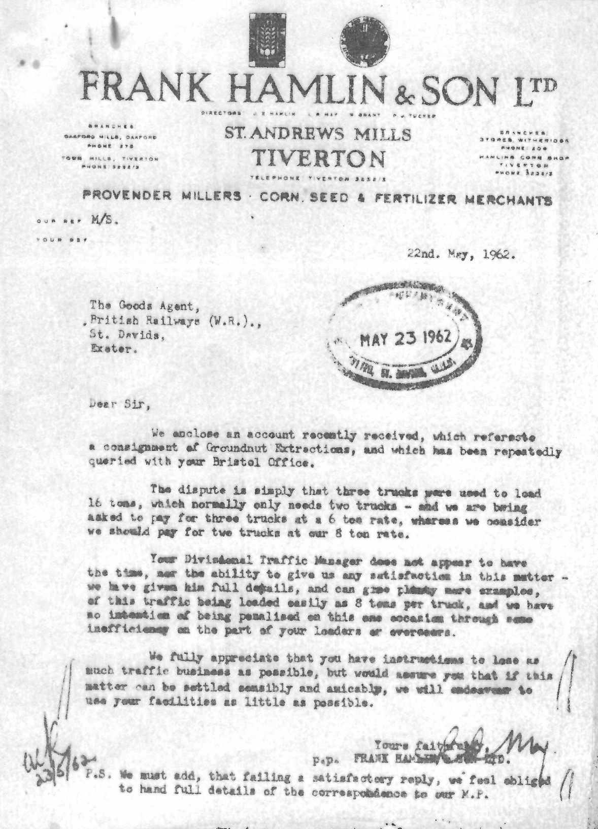
Was it a conspiracy?
“We fully appreciate that you have instructions to lose as much traffic business as possible, but would assure you that if this matter can be settled sensibly and amicably, we will endeavour to use your facilities as little as possible.”
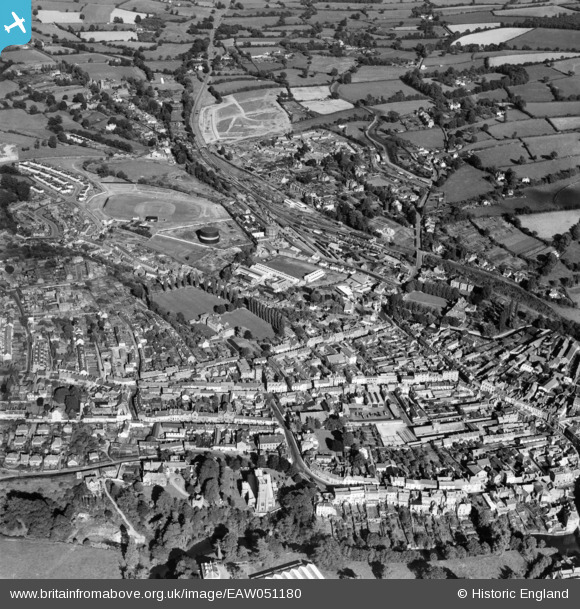
The old town lies east of the river and much of it can be seen here. The grounds lined with poplar are those of Tiverton Grammar School, closed in 1978. Old Blundell’s School is seen right of centre. Above it, Station Road joins Canal Hill, the road to Cullompton. The basin of the Grand Western can be seen, with the canal snaking away towards the top.
The original Tiverton Branch comes from the direction of the junction at the top. Between Old Road and Blundell’s Road lies the whole of the station. The terminus, which lay close to Blundell’s Road, was replaced by a station four chains further from the junction when the lines to Stoke Canon and Dulverton were opened. The Exe Valley is seen going towards Exeter in cutting at right. The Tiverton & North Devon goes towards Dulverton at left, just above the new housing on Watery Lane.
At centre is Lowman Trading Estate, once the home of Exe Foundry, Stenner and Twose Engineering. Tiverton held the distinction of exporting its goods to more places worldwide than anywhere else in Devon. A little of John Heathcoat’s factory is glimpsed at bottom centre.
The gasworks on Blundell’s Road is obvious. On the other side of the railway, on Old Road, the 1938 Devon General bus depot is seen being extended.
The road goes off picture at top left, beyond the modern Blundell’s School. +
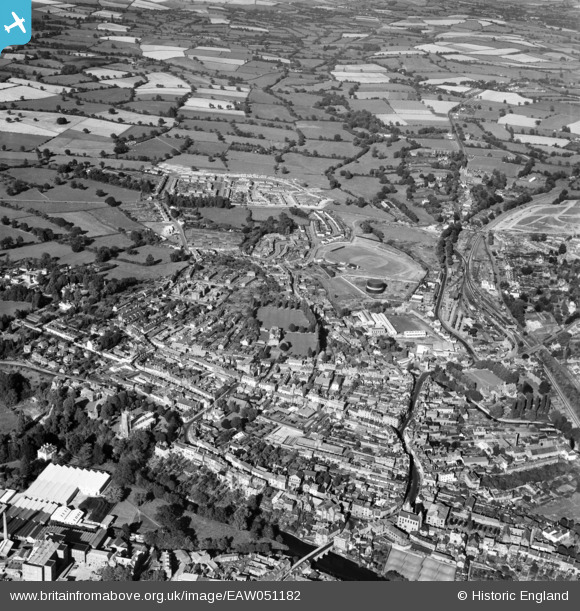
At bottom left more can be seen of the river and John Heathcoat’s factory, and the Tiverton & North Devon goes off at centre left after passing below the new housing estate.
Less is seen of the Tiverton Branch and the canal is off picture.
The scout took the photographs in the following little gallery during his September, 2022, visit. He concentrated upon the area around the former Tiverton & North Devon Junction, where the lines from Tiverton Junction, Dulverton and Stoke Canon met.


While looking at what remains of the approach embankments of the bridge which carried Blundell’s Road over the line to Dulverton, and reflecting on the many times he would have walked this way to events and activities at Blundell’s School, it occurred to the scout that for some reason he had never followed the line between there and Bolham.
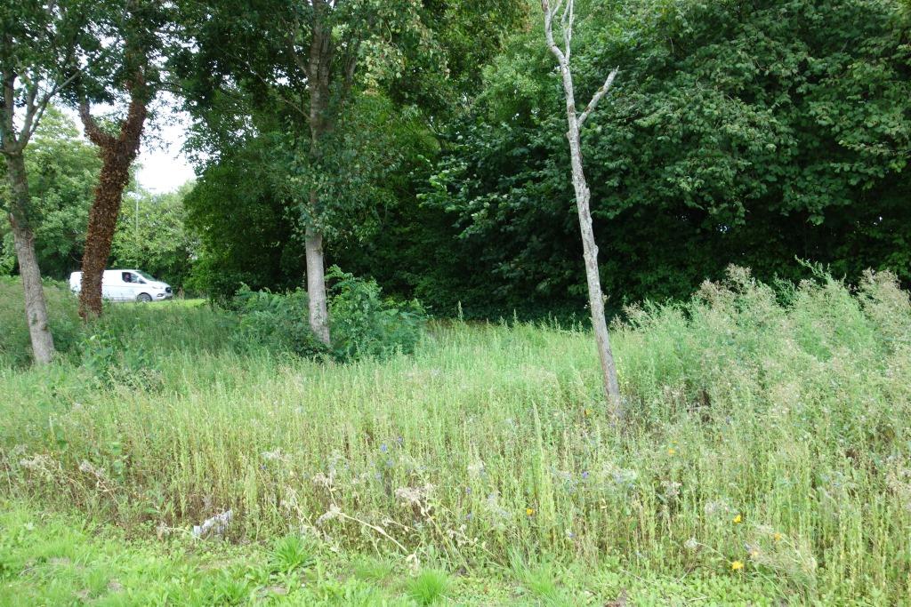
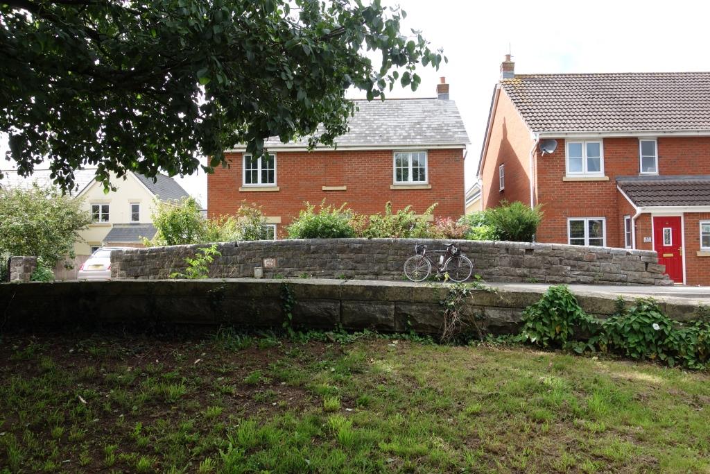
The course of the line is taken in part by the A396 leading towards the dreaded North Devon Link Road. As the line curves away, it can be traced through a recreation ground and housing to the infilled Cowleymoor Bridge. Thence is a path as far as Brickhouse.


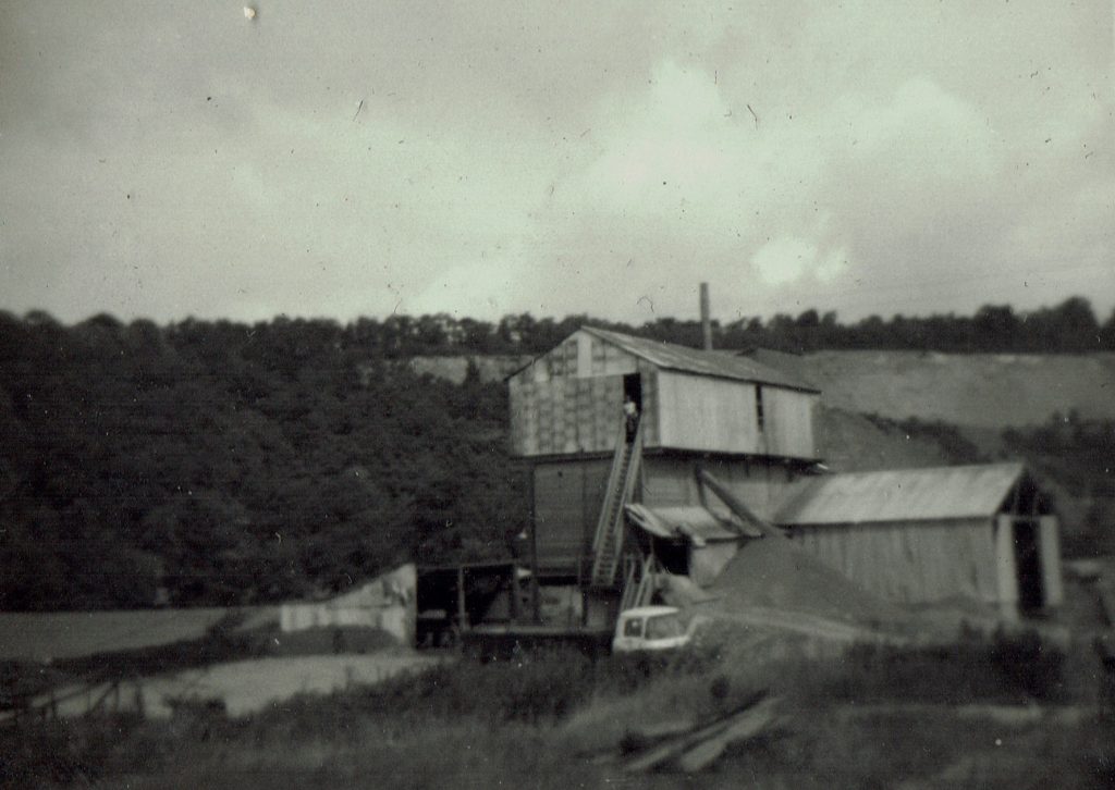
Richard was looking out of the window when he passed Cove Crossing and he captured this view of Holmingham Quarry and its tarmacadam works. The two were linked by an aerial ropeway like the one at Christow.
A photograph from this position today would be pointless, even if it were possible.
Nearly at the end of his journey, Richard leaned out to take a shot of Morebath Junction, just after his train had joined the Barnstaple Branch.
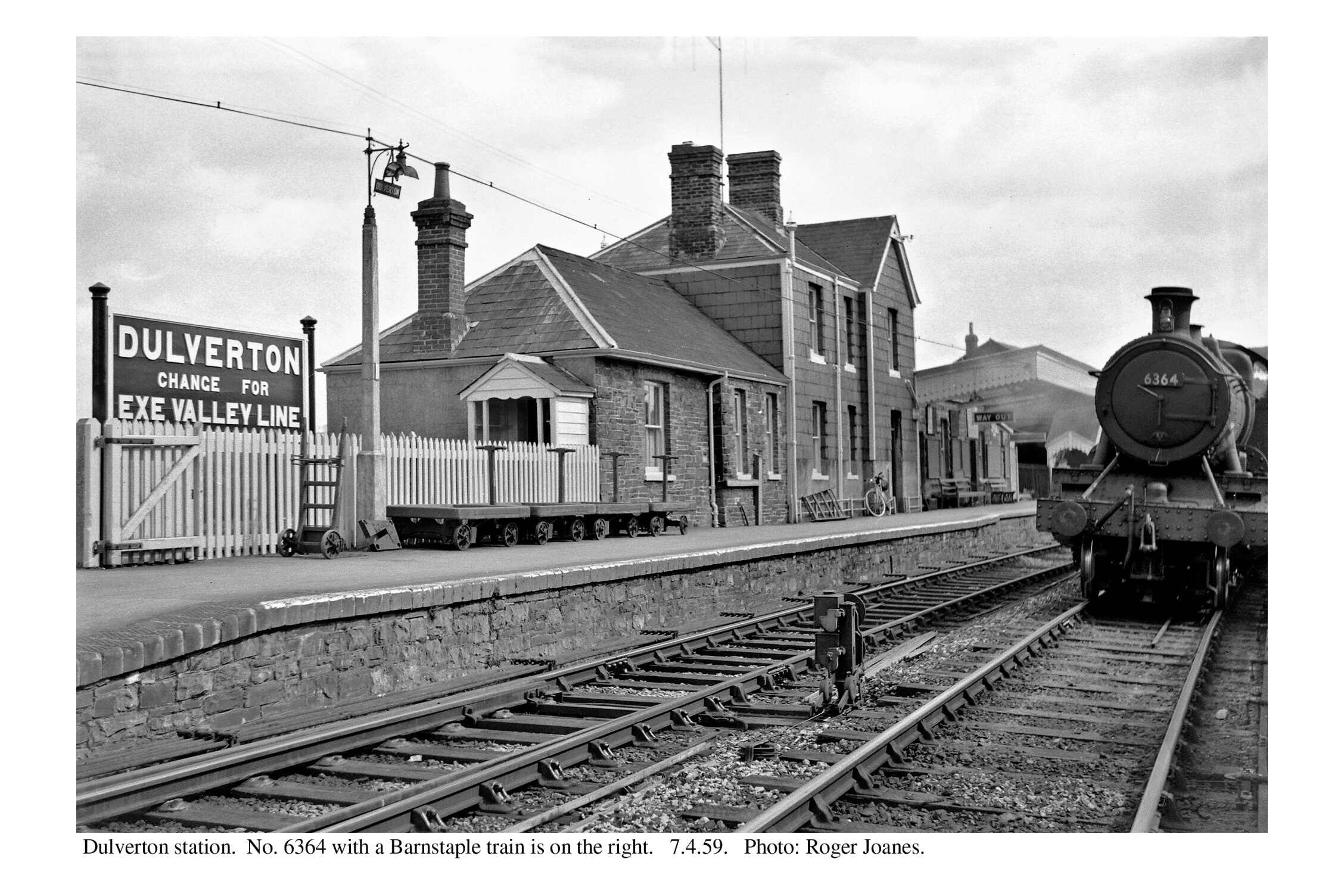
Finally, Richard’s train pulled alongside the branch face of the island platform at Dulverton, just inside the neighbouring county, having taken him through 25 miles of beautiful countryside with its busy towns and villages, a joy a great many subsequently have been denied.
The scout was standing not far away from the same spot when he took the later photo while on a group visit in 2011.
The Up platform remains but the island has gone. It was once amid where the grass is now and Exe Valley trains would have made their connections at right.
N.B. Richard Holladay retains the copyright of his photographs. http://www.exeterfoundry.org.uk/about.php