
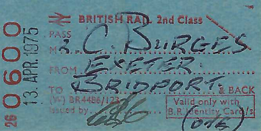
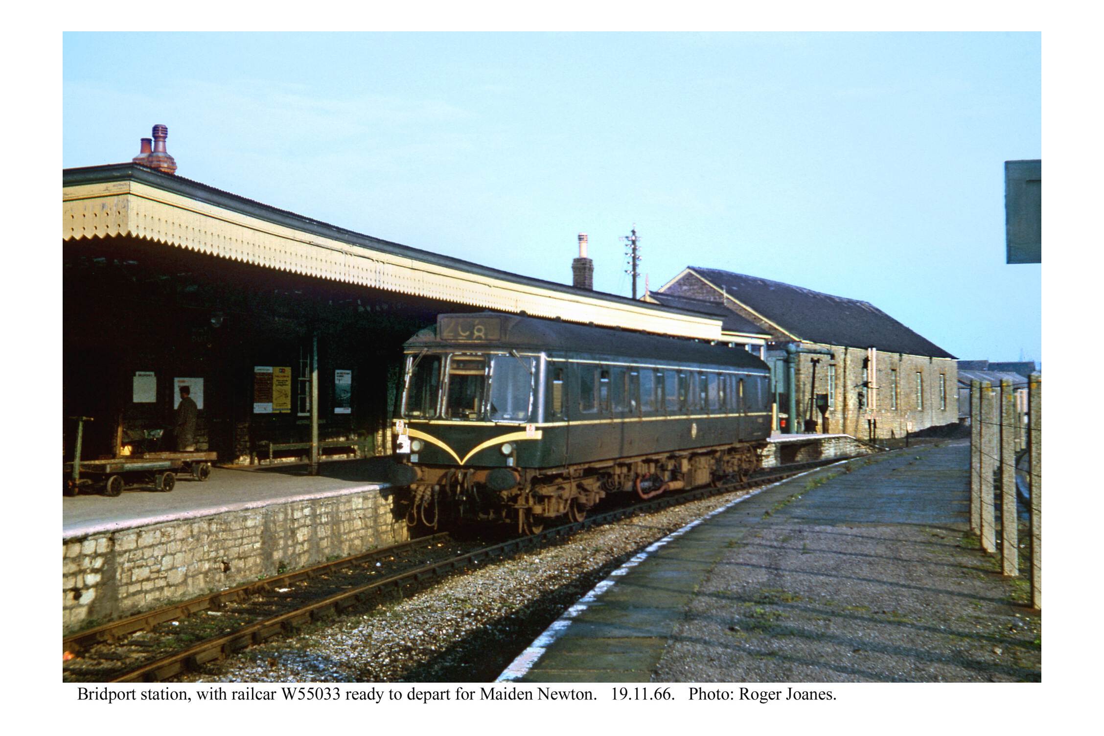
The train service was within a month or so of withdrawal when the scout rode the single-car D.M.U. with his father from Maiden Newton to Bridport in 1975.
It was not until 2015 that the scout returned to Maiden Newton, passing through on the summer Saturday “Weymouth Wizard.” He passed again numerous times over the next four years, in the course of visiting all the stations in Dorset.
The rapid and chilling descent of Dunsford Road came as rather a shock, as this was the scout’s first early start since 2019. He caught the 0510 to Waterloo as far as Yeovil Junction and was immediately disappointed to find that the delightful station buffet had closed two years before, after the death of the owner.
So, instead of enjoying a cooked breakfast there and riding to Thornford, the scout headed for Pen Mill and the nearby 24-hour Co-op filling station, where he paid £2.45 for a coffee from a well-known brand’s machine; used regularly it seemed by ordinary working men who would once have filled a flask with tea before leaving home.
Eating a sandwich at Pen Mill was a poor second to a buffet breakfast but it was pleasant in the early morning sun.
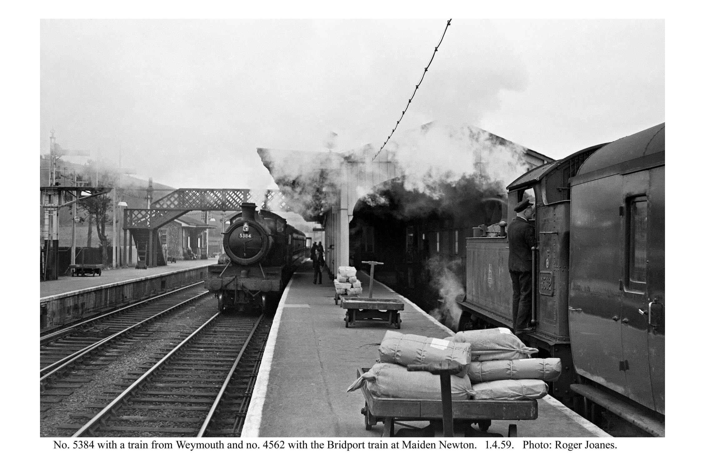
When the scout stepped onto the platform at Maiden Newton just before eight, it had been nearly 50 years since the last time. After the train continued to Weymouth, the scout wandered around the lifeless station.
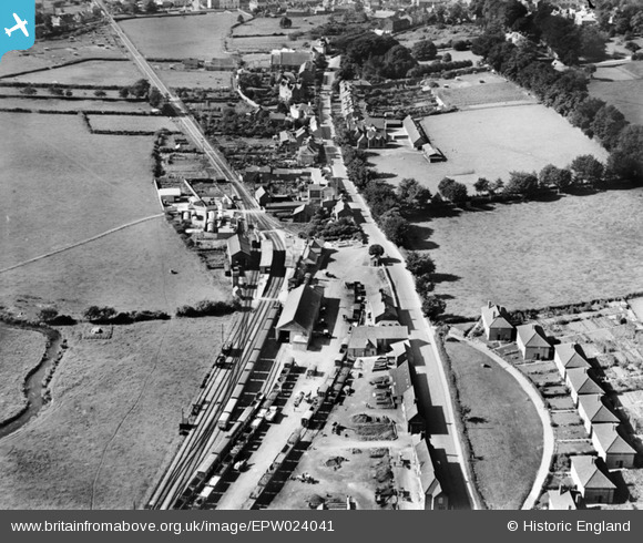
The branch to Bridport was opened shortly after the main Wilts, Somerset & Weymouth. Maiden Newton did not at first have a bay platform but one was soon made.
Maiden Newton


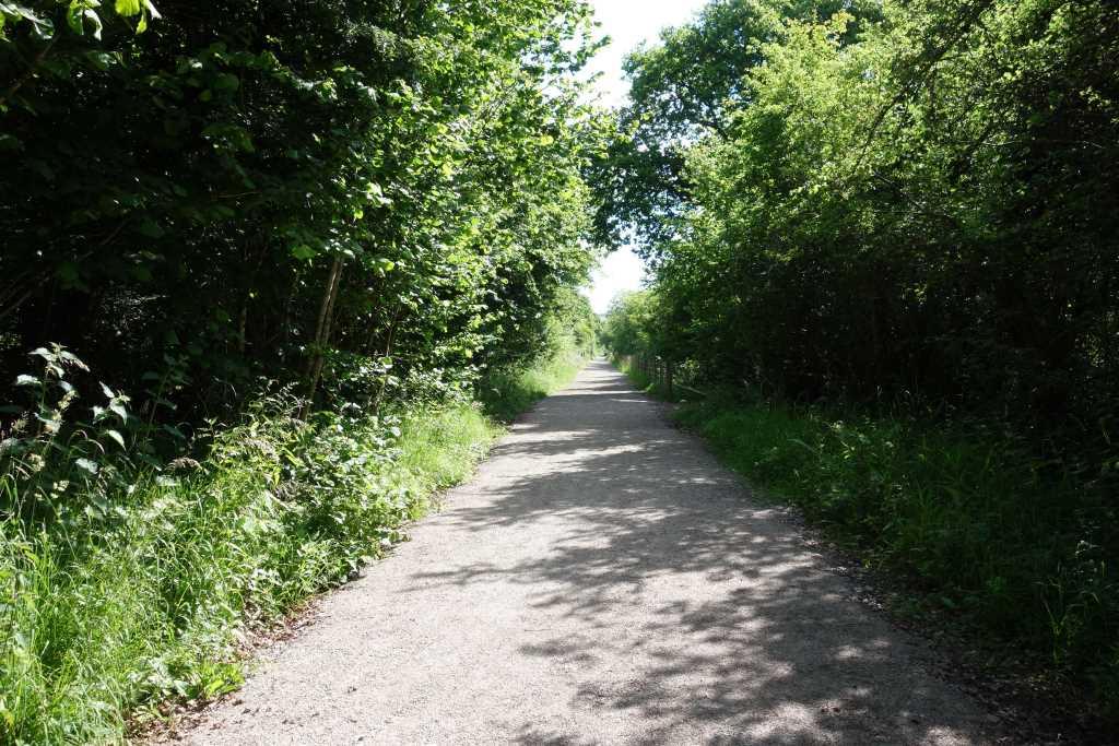
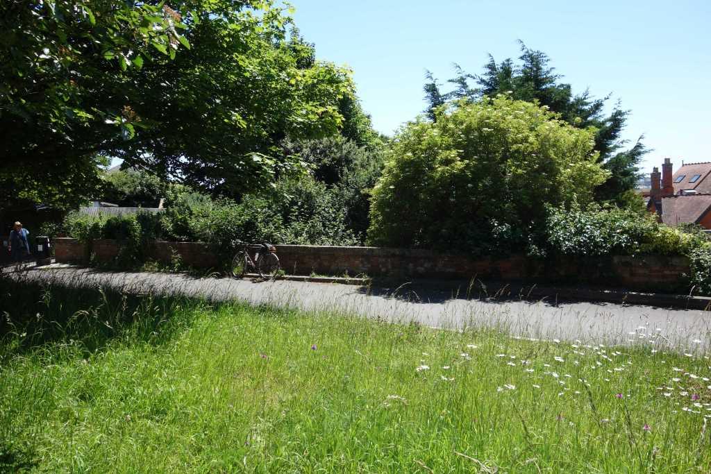
The scout set off along the path and thought about the last time he went this way, sitting behind the driver, looking intently at the unknown road ahead, whose track would soon be left to rust and then lifted. The path climbed up to join Chilfrome Lane near the line’s third overbridge.
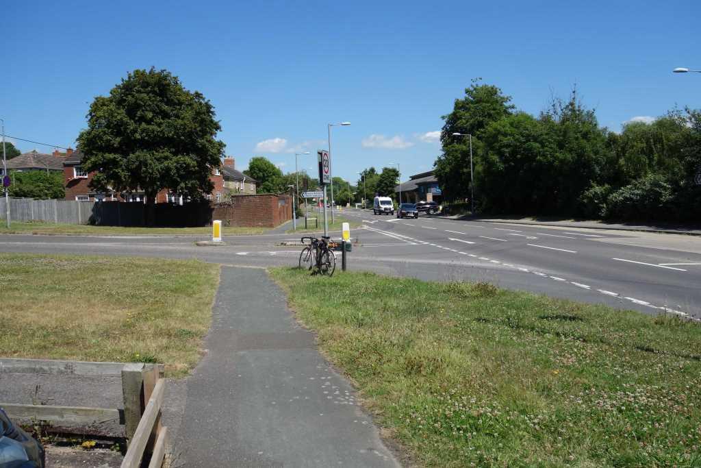
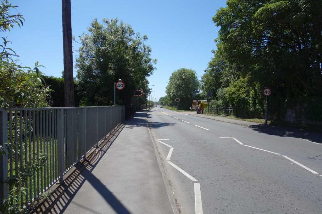
From here, the scout went into the village and back to the station to view the approach. It seemed a pleasant place, quiet except for the usual through traffic, not heavy but always with impatient drivers.
The village lies on the River Frome and it is joined here by the Hooke, formerly known as the Toller.


The scout headed along what the Ordnance Survey marks as “Supposed Roman Road,” the later A356, and turned towards Toller Porcorum.
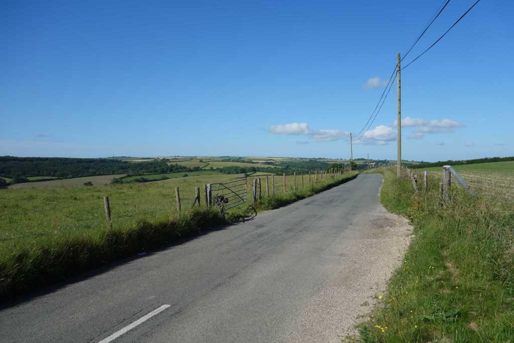
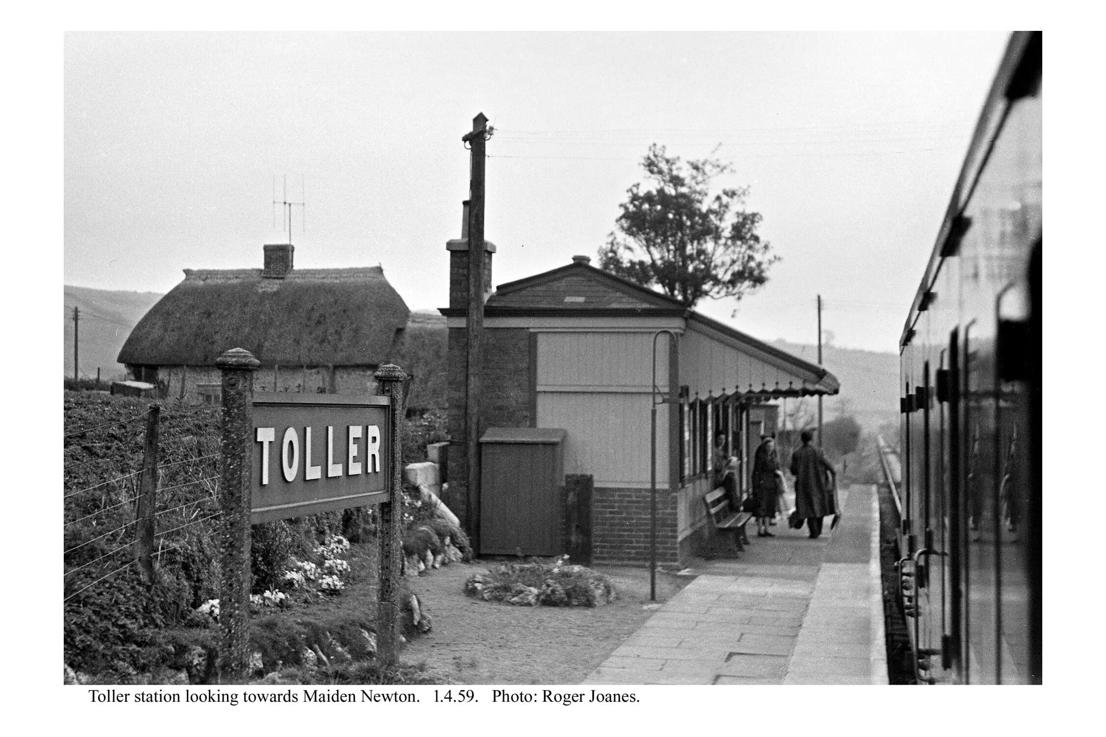
Toller
It is thought that not many visit Toller Porcorum – Toller of the Pigs – because a friendly lady walking her dog asked the scout if he was lost. He was tempted to reply that he wouldn’t mind at all being lost in West Dorset.


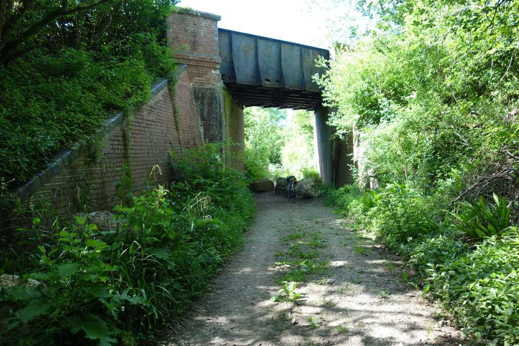
When he dropped back to the course of the line, still at 400 feet above sea level, the scout was surprised to find the steelwork of Barrowland Lane Bridge intact.
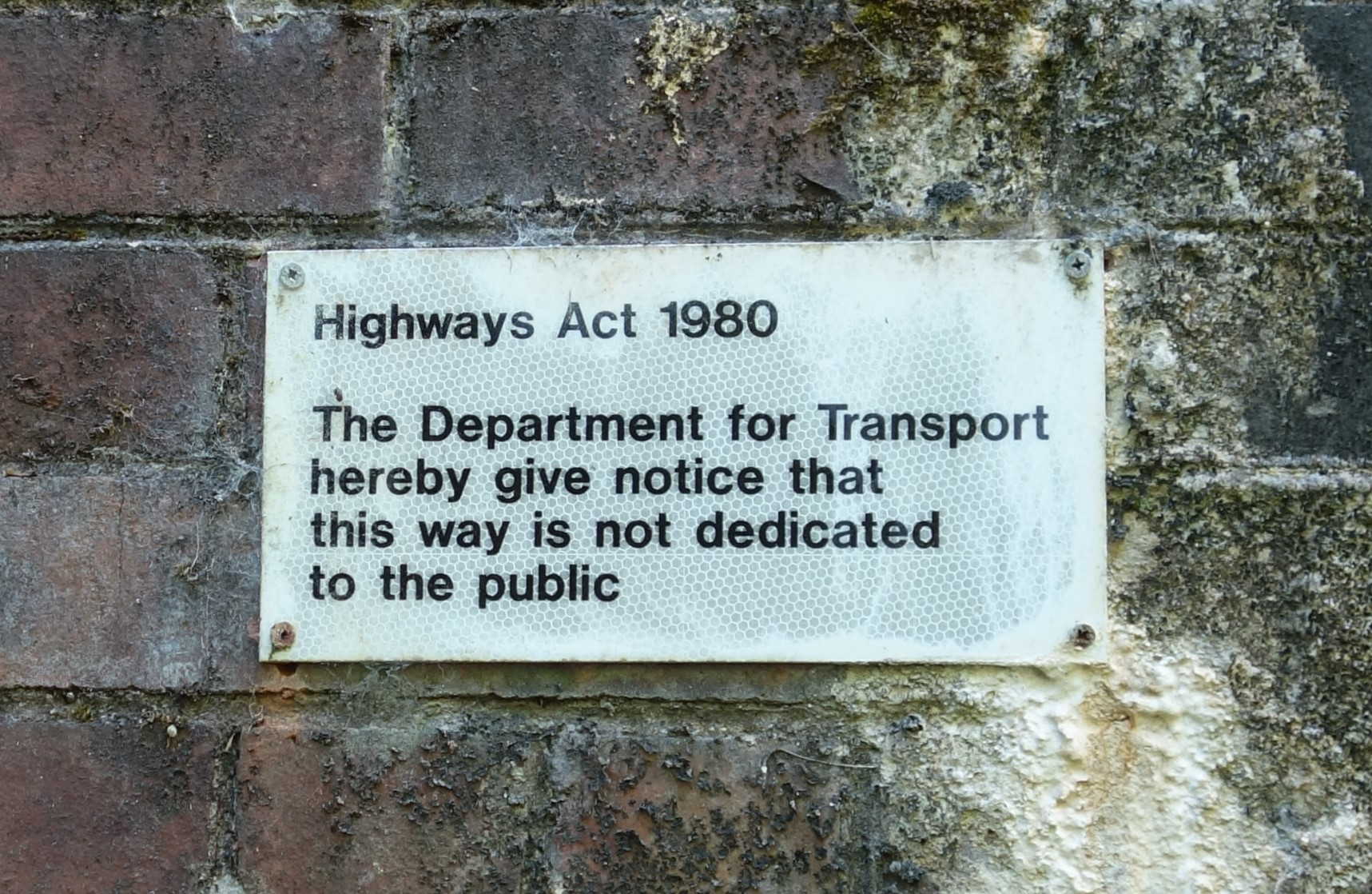
This is one of those belonging to the Historical Railways Estate which National Highways controversially had proposed to demolish. The abutments are in poor condition but it now looks as if it will be spared.


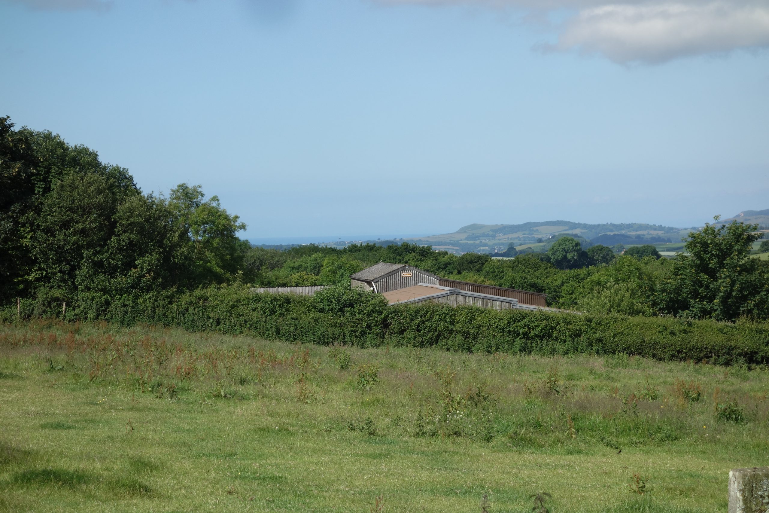
Not far from the bridge on the other side is the entrance to Dorset Wildlife Trust’s Powerstock Common nature reserve. Here the scout spoke to some people waiting to start a guided walk. He told them that he had last come this way by train.


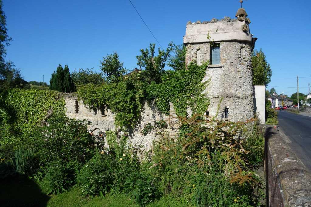
Ganger’s hut to bat roost


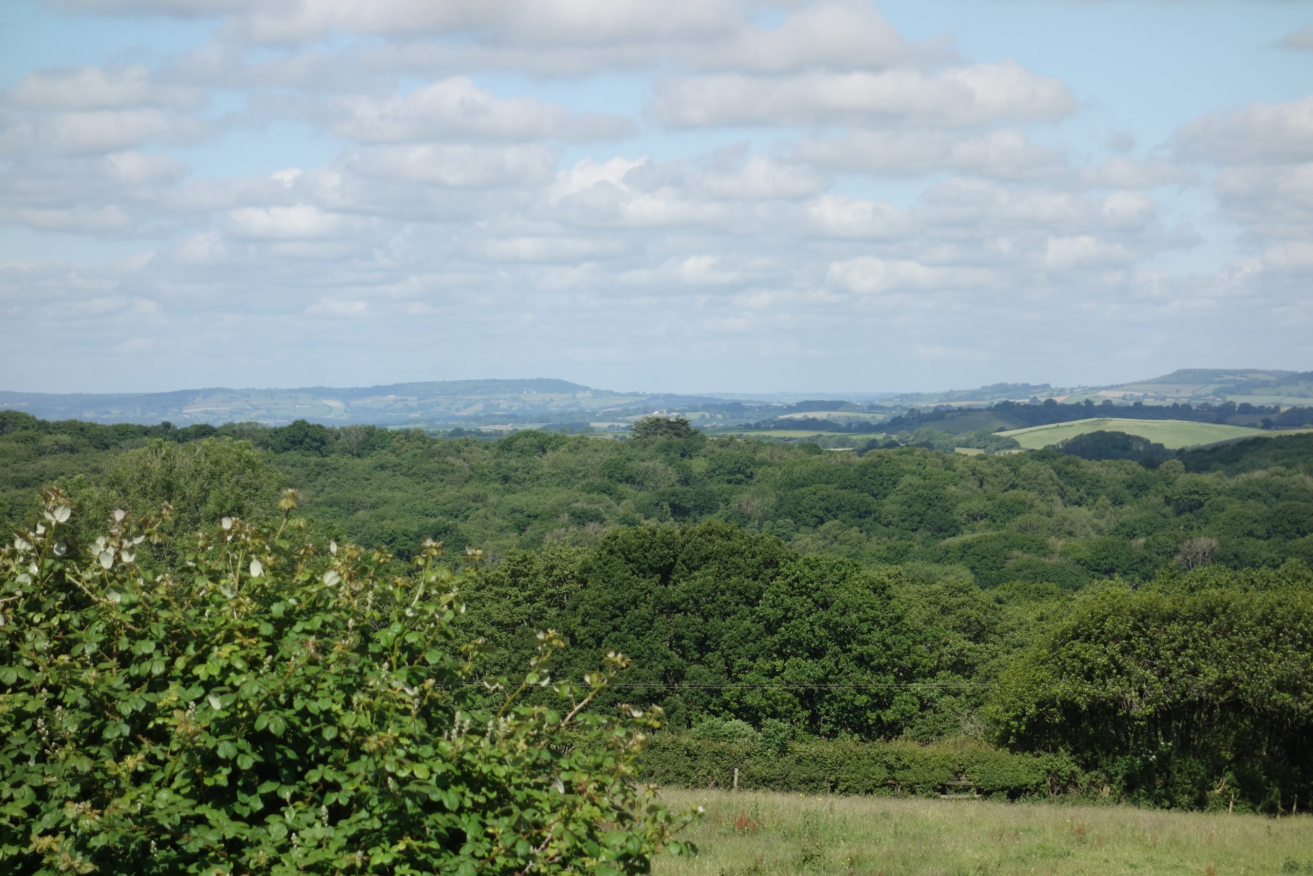
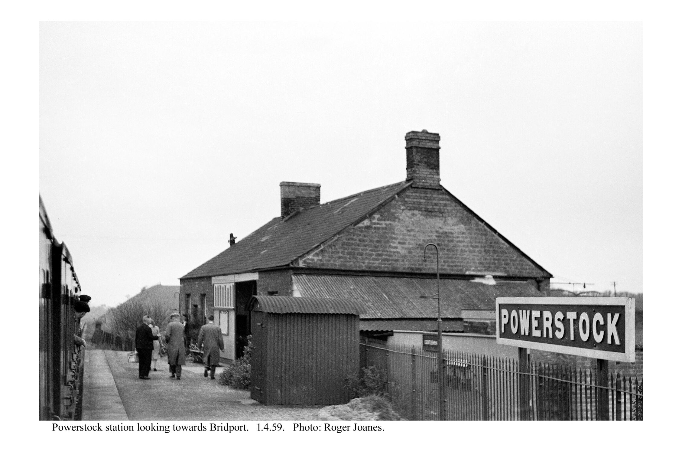
Powerstock
On the approach to Powerstock Station, the path left the line and descended to a lane. The scout followed this and turned for the village, passing Nettlecombe on the way.


The scout returned to the line and spotted a gentleman working in the grounds of the former station, near the end of the quarry siding where, before the war, he may have seen a camping coach berthed. A request to see the place was immediately granted and the scout was treated to a full guided tour.
This, it was later discovered, was Brian Read, who, with his wife, Diana, had welcomed many others over the years. Sadly, he was now there on his own, having lost his wife the previous year. They had bought the building from the B.R.B. Estate Department in 1968, when it was thought that the railway would close. The caravan that they lived in while they worked on the house was still there, derelict.
B.R laid down strict conditions concerning use of the operational area; the couple once received a strongly-worded letter about a washing-up bowl which had been left on the platform.
Mr. Read’s wife became a regular passenger but he only caught the train once. The scout thought Mr. Read said that his father had bought the crossing keeper’s house at Bradpole and had a wheelbarrow to spare. Mr. Read went to Bridport, walked back to the crossing and pushed the barrow all the way home. He agreed with the scout that the traincrew may well have helped him if he had made it known what he intended.
Mr. Read told the scout that there were 45 regular passengers at Powerstock in the last years of the service. The scout wondered if this number was about all that Thornford and Chetnole, on the main line, could each draw upon today. Mr. Read was unhappy about the plans by Bridport Branch Renewal Corridor to reopen the line as a tramway.
Half way along the platform, Mr. Read pointed out the junction between old and new; strangely, the original wall, in modern concrete block, looked newer than the extension, done in blue brick. There was nothing imprecise about the mileage of the station shown in the timetable for there was 5 III marked on the wall.
The formation here was wide enough for a double line but a passing loop was never laid.
Inside the building the booking window and counter were still there. The alcove where passengers sheltered and bought their tickets had been incorporated into the house. The opening had been half screened.
The operational land was bought after the line had closed and altogether, with the former quarry and yard, it was a sizable spread, one which kept Mr. Read fully occupied.
The scout had forgotten how heavily-graded the branch was, but had felt the benefit of the severe falling gradient on his descent from Powerstock Common. Mr. Read recalled seeing the train appear at the top of the gradient from Bridport. In fact, the line fell towards Powerstock at 1:37 and after the level of the station, fell again at up to 1:52 towards Bridport. There were “stop and pin down” boards at the commencement of the inclines.


The underbridge had not long been demolished; local farmers had found it increasingly a nuisance. Most unusually, all the other steel spans had survived.
A little way down the hill, a track gave access to the course of the line and the scout rode on as far as Loders. At one point, a shudder was felt through the handlebars and the scout went back to photograph the sleeper impressions still set in the ballast.


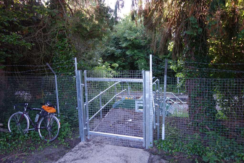
The scout left the path and went through a gate into a small housing estate which he would never have been able to find from the other direction. He then rode through Loders.
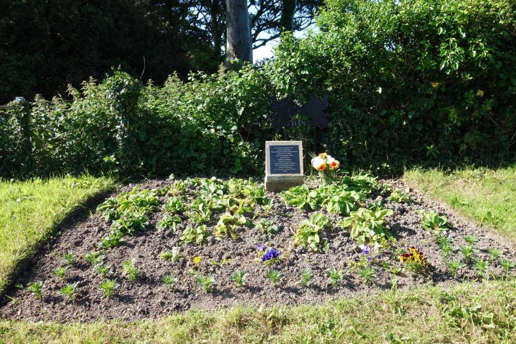
Bradpole Crossing
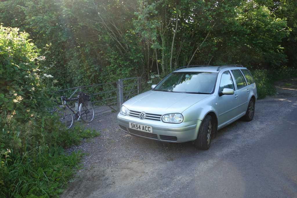
Latterly, the gates at Bradpole Crossing, half a mile from the terminus, were worked by the guard of the train; the scout remembered this procedure in 1975. Today, it is a feature, with reproduction gates and a bit of garden attached. Bridport’s distant signal had stood at the crossing.


After riding a little further, the scout emerged into the car park of Bridport’s Co-op supermarket. Here he would have been on the line but the station was now obliterated.
Bridport
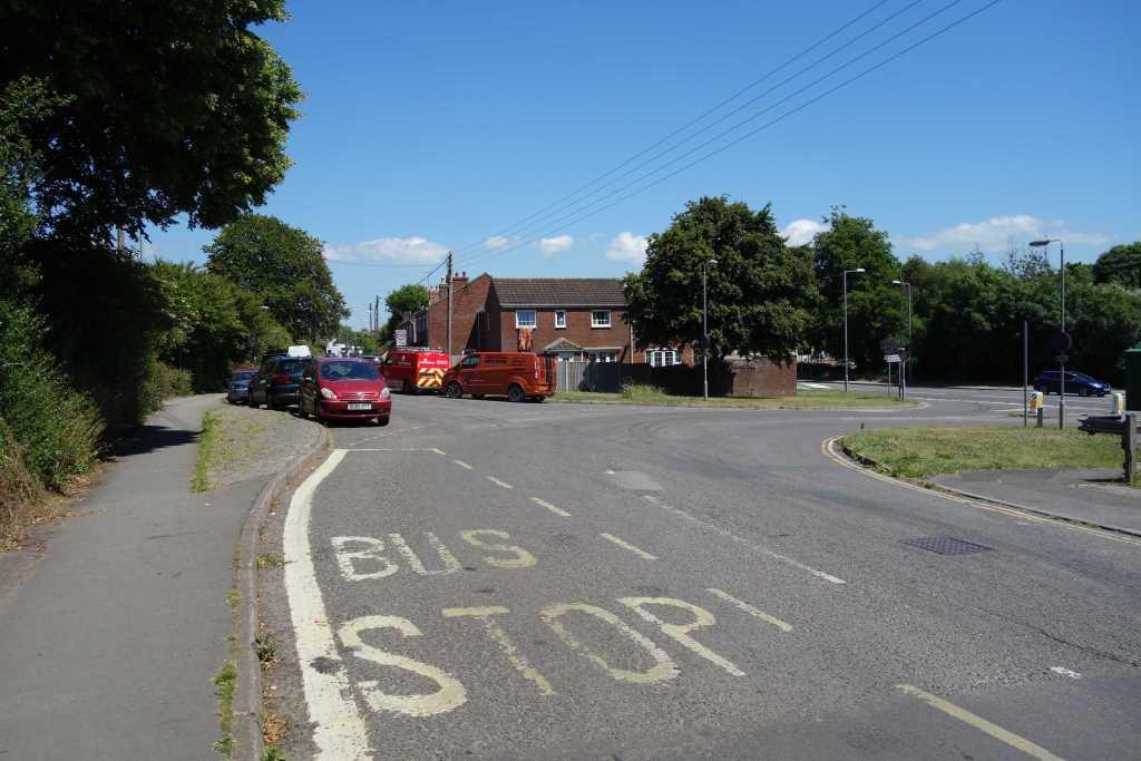
It must have been known, or hoped, that the line would go on to the coast, otherwise the station would not have been built on a curve.
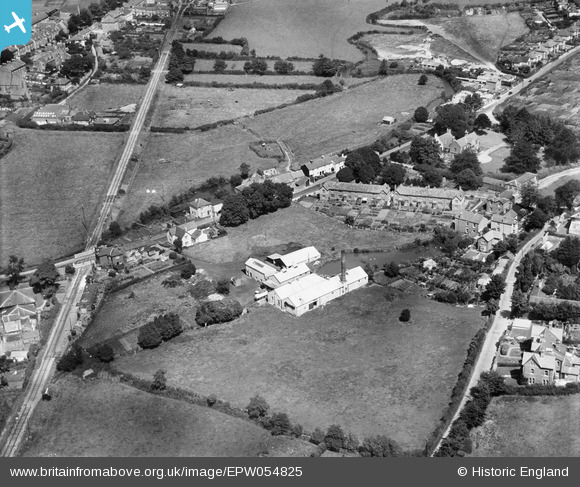
St. Andrew’s Road heads towards the town and Beaminster at centre. A glimpse of the River Mangerton is had at left.
East Street
The line was extended to Bridport Harbour in 1884 and a station was opened at East Street, a little more convenient to the town.
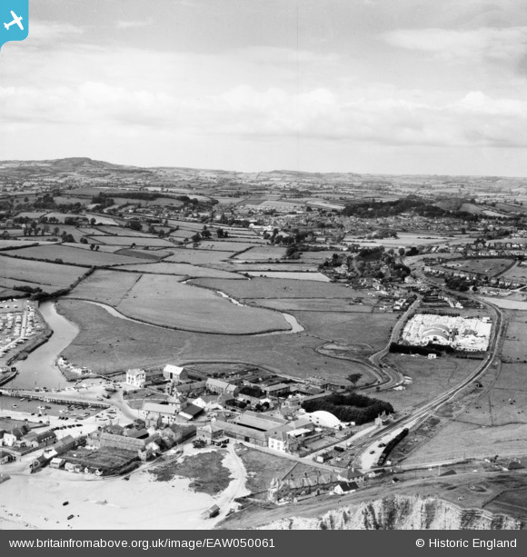
St. Andrew’s Road and part of Bridport Station can be seen at top left.
West Bay


The passenger service ceased in 1930 and the last goods traffic was carried in 1966.
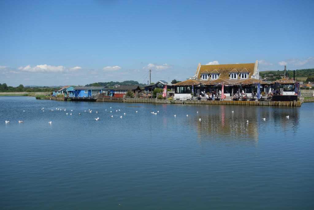
Bridport Harbour had been renamed West Bay by the Great Western but it failed to become one of the railway’s successful holiday resorts.
The scout and his father took the bus from Bridport and had lunch in one of the hotels, but the scout could not remember which of them it was. The scout did remember that there was very little to see in 1975. In 2022, the place had grown substantially and was crowded with ample amblers.
And he remembered the two piers which made the harbour entrance, for this was not a natural harbour. After an inundation, extensive works were done to protect the beach and property. From the new breakwater, there was a magnificent view along 50 miles of coast.


The hourly bus service, X52 and X53, the Jurassic Coaster, was formed, every other hour, by an open-topped double decker. The scout saw several come and go very nearly empty.
After the scout had had his fill of the “madding crowd,” he set off along the course of the branch railway.
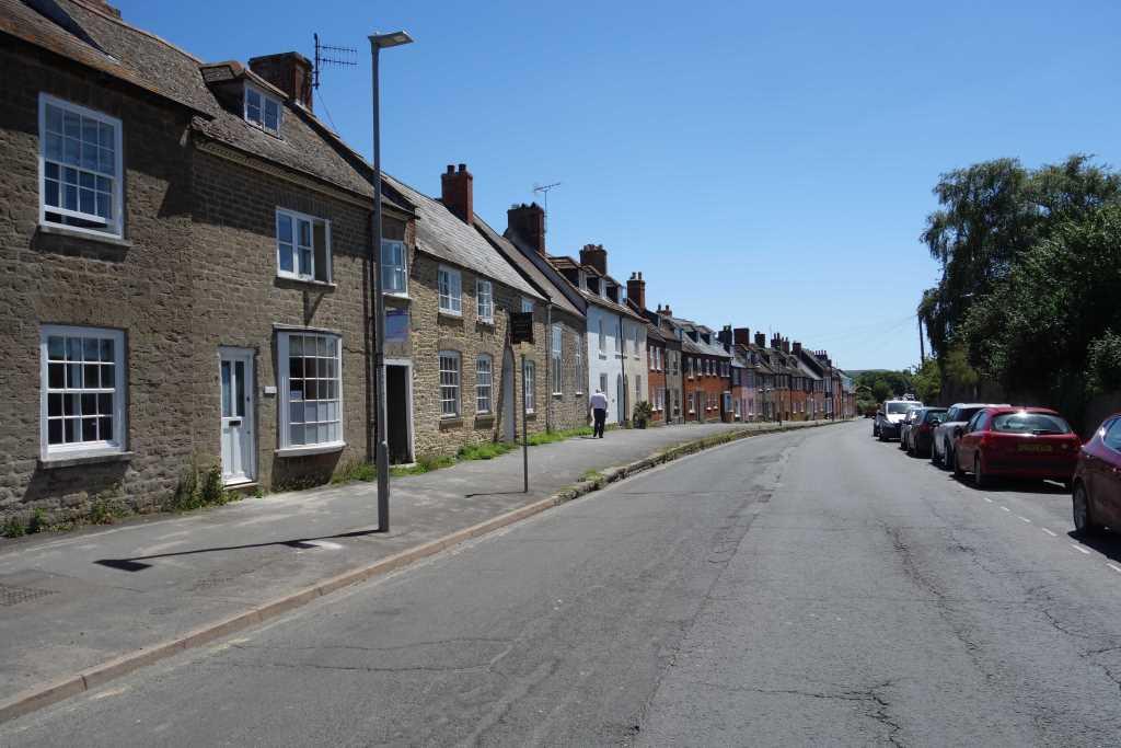
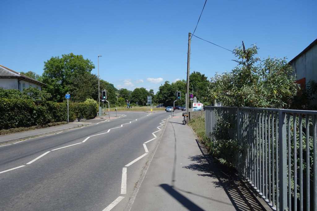
East Street, relieved of through traffic by the A35 bypass, looked familiar to the scout. He wandered around for a bit and then instinctively took a turning closed to motor traffic. This was St. Andrew’s Road and led him back to the station.
All the way to Beaminster, the scout was trying to remember what he knew about Beaminster. It was only when he sat in the shade of Market Cross in the village centre, eating a very late lunch, and saw mention of Parnham House, he remembered: Parnham House, whose entrance he had just passed, was the home of the celebrated John Makepeace and his School for Craftsmen in Wood, later Parnham College. The scout had always been in awe of the exquisite furniture made by students and graduates of Parnham.
A reminder of the other feature was the A3066 out of the village being named Tunnel Road. Beaminster or Horn Hill Tunnel was built in less than a year greatly to ease the climbs on the turnpike. It was opened in 1832 and remains the only pre-railway age road tunnel still in use.


The scout remembered news coverage of the 2012 tragedy. Torrential rain caused a landslide at the northern portal which buried a passing car. The occupants, a couple, were undiscovered for ten days.
Not wanting to become a casualty himself, the scout was glad to get away from the confined approach and carry on to Crewkerne.
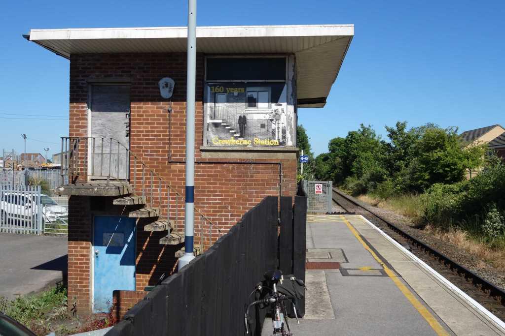
The scout had been to the town before but would have liked to see it again. However, a train was due and the scout felt he’d done enough for one day (48 miles ridden).