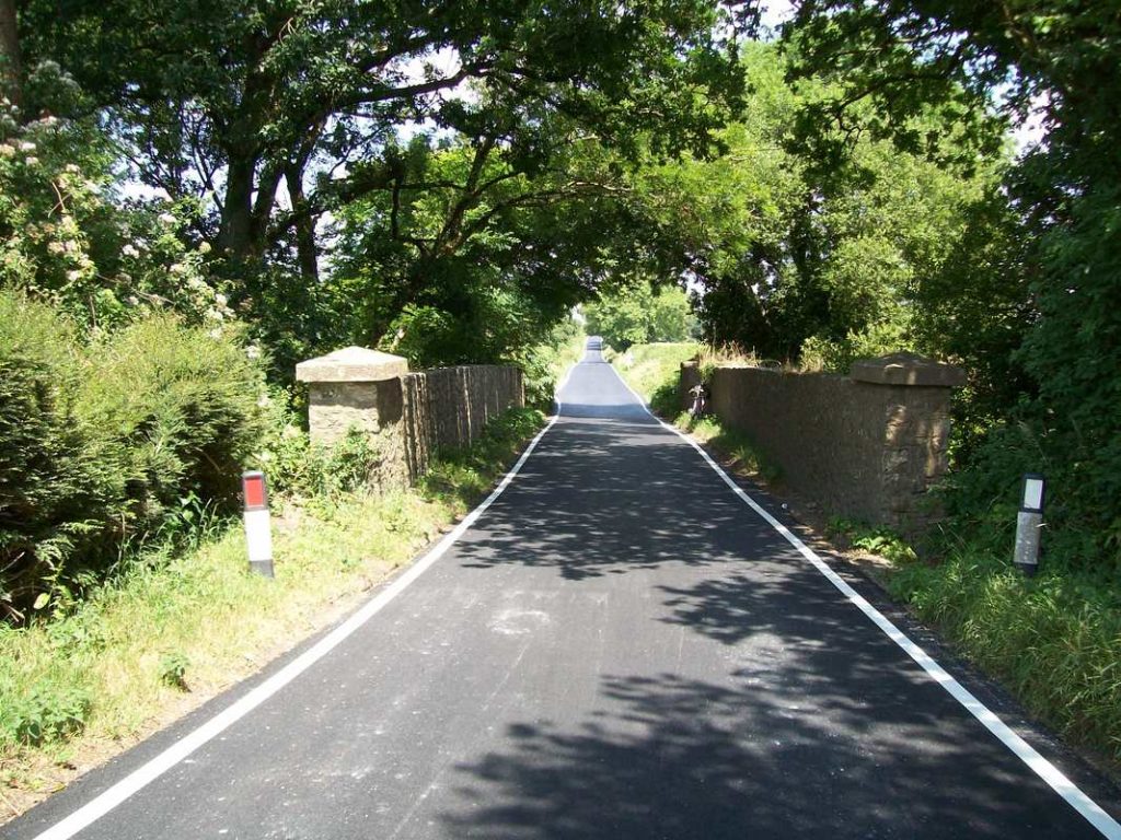
Monday’s ride started with a bit of route learning, following the A35 eastward from Honiton.
Some respite from the busy main road was found on an empty section of bypassed turnpike, from where the town and the Blackdowns could be viewed.
There is a road equivalent of Honiton bank and the scout clocked 38 m.p.h. descending it. Just after Wilmington he put the brake in, turned and climbed up to Ivy Bridge.
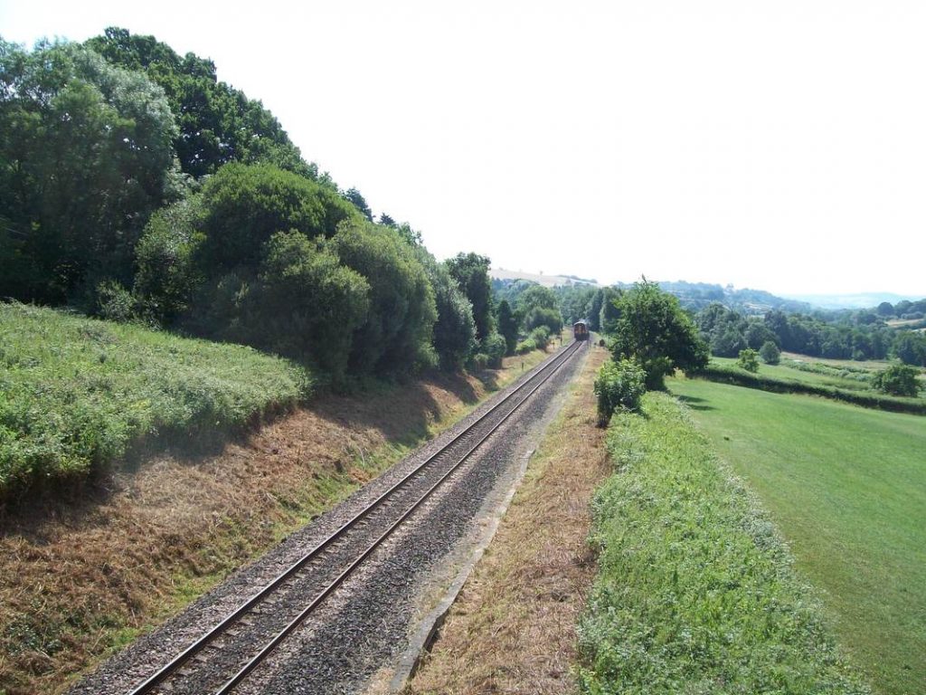
The 1025 Exeter has just passed Ivy Bridge and is descending towards Seaton Junction. The lineside, recently flailed, has a more cared-for look than many, although it is a very long way from the high standards of the past.
When this was still a proper main line, the scout well remembers going to Waterloo behind a “Warship” diesel and being served breakfast by a steward in a white tunic at a real table with a cloth cover, while watching the East Devon countryside flash by. He remembers as a lad looking out for the signs which began with: “You’re approaching the Strong country.”
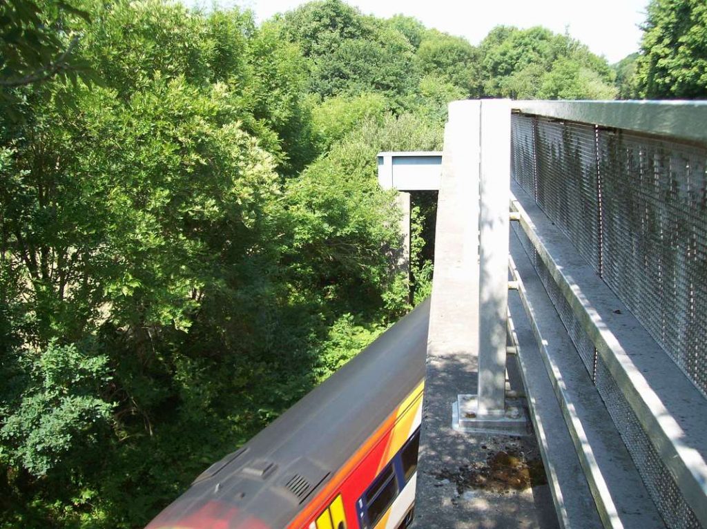
Black Sand Bridge, the next one along, carries the A35. The original caused a dog leg in the road which has been straightened by this replacement. It is not a skew bridge: the line, as can be seen, passes through a hollow central pier formed by the steel girders. The abutments of the original bridge can be seen from the train. This is the 0820 Waterloo which had crossed the Up at Axminster.
On the Lyme Regis Branch, Trinity Hill Bridge, just along from Combpyne Station, is a concrete structure with chert spandrels and parapets. One of the concrete capstones at the other end has been dislodged, presumably by a vehicle.
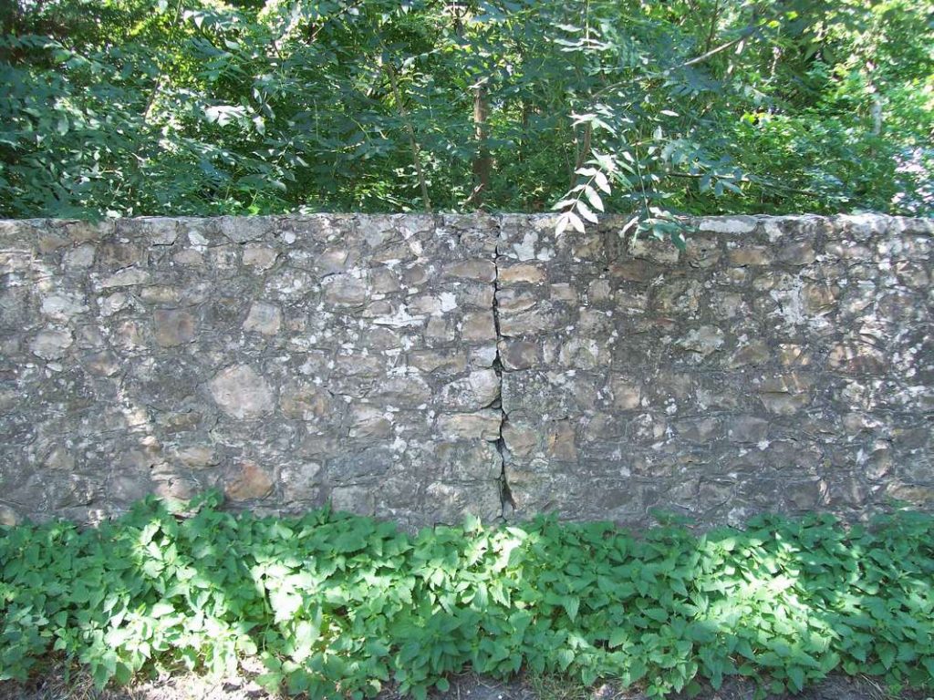
As is the practice today, the masonry was built in segments to allow for expansion and movement. The joints would today be filled with mastic. The Lyme branch opened later the same year as the Exeter Railway, linking Christow with Exeter, but its structures were all of traditional construction.
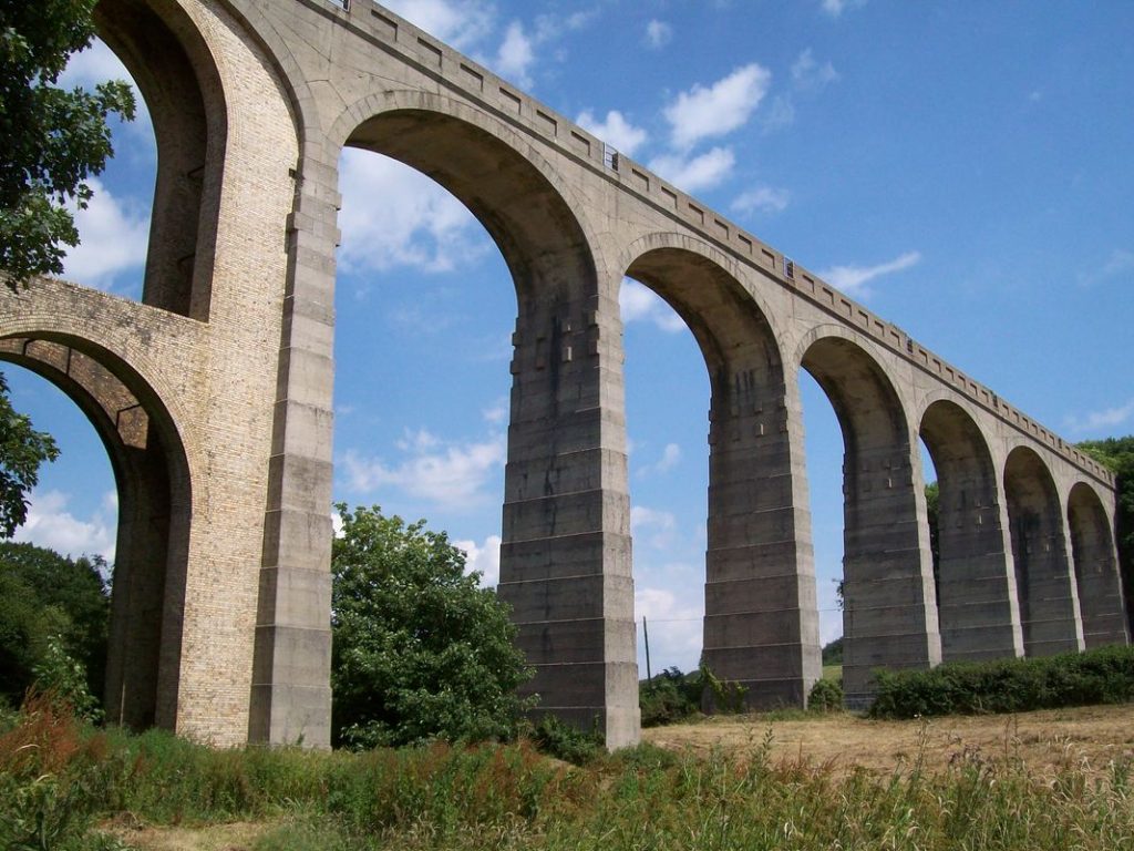
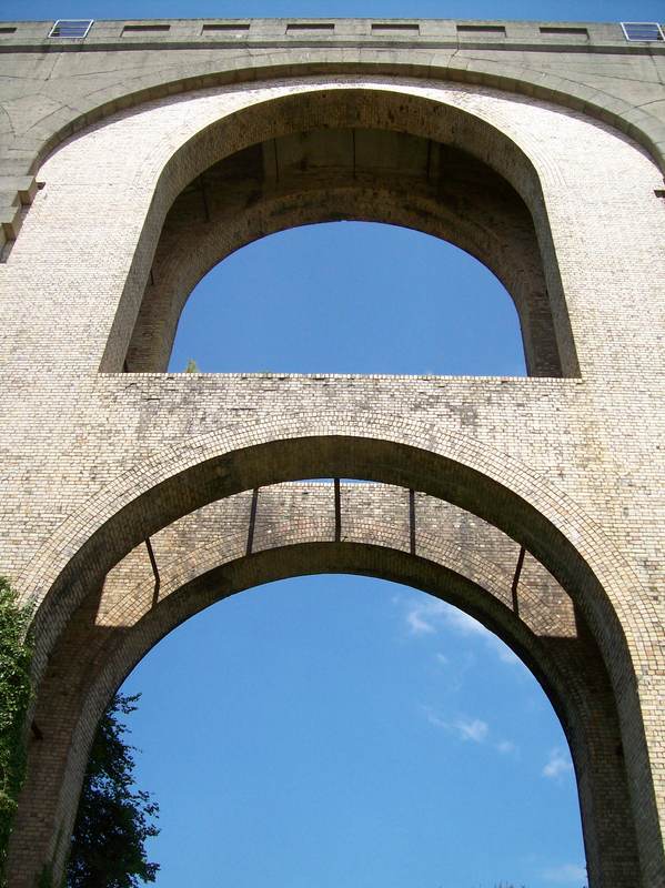
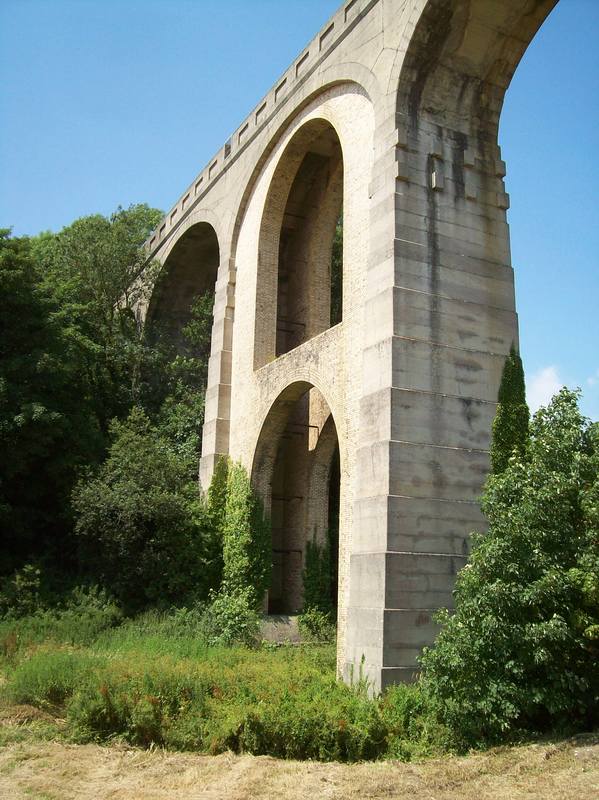
The approach to Cannington Viaduct from Combpyne.Cannington viaduct
The jack arches built to arrest the distortion caused by the neighbouring embankment at the time of construction.
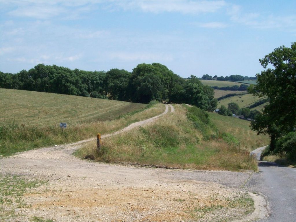
Conveniently, a public footpath allows close-up views.
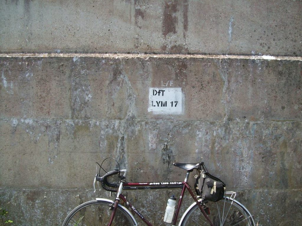
”Department for No Transport,” in this case. The Engineer’s Line Reference mark is on the mass concrete pier that stands immediately beside Cannington Lane.
A full length study of the Lyme Regis Branch is made in No. 89.
The E. & T.V.R. scout, having on occasion sent a few photographs to the esteemed elders of the Cornwall Railway Society, in time rather got into the habit after his outings of submitting a short story, often under the general heading of “Route Learning” or “Route Refresher.”. Read more

 and a siding.")