
Some members of the Vale of Berkeley Railway called at Christow a few years ago and suggested that staff visit Sharpness, a place that it was promised would be found full of interest. Acting on this prompt, the scout made his first foray north of Taunton since 2019.
He hadn’t been on the platform at Temple Meads more than five minutes when, gazing up at the nest of scaffolding beneath the overall roof, a “despatcher” had to remind the scout to keep behind the yellow line.
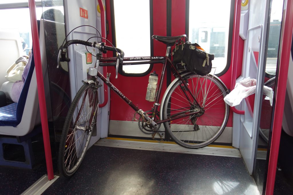
The 0939 to Gloucester was formed by a D.M.U. that had no cycle spaces, but this was no problem as there were few passengers.
His destination was Cam & Dursley, a station opened in 1994 near the former Coaley (or Dursley) Junction, closed in 1965.


The scout took Woodend Lane in Cam, which crossed the not overly busy M5 and joined the A38, which he followed to Berkeley Road.
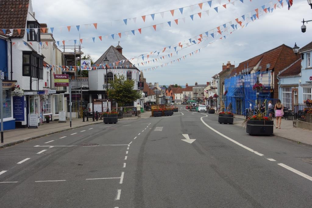
Berkeley deserved more time than the scout could spare on this occasion. Nevertheless, a feel for the place was had.


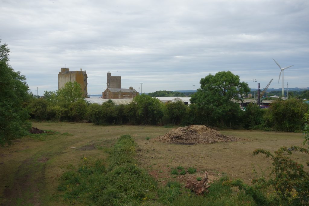
The scout rode north and found the old station, around three quarters of a mile from the town centre. It was chosen as the railhead for the nuclear power stations at Oldbury and Berkeley, both now being decommissioned. This role should be enough to keep the branch open.


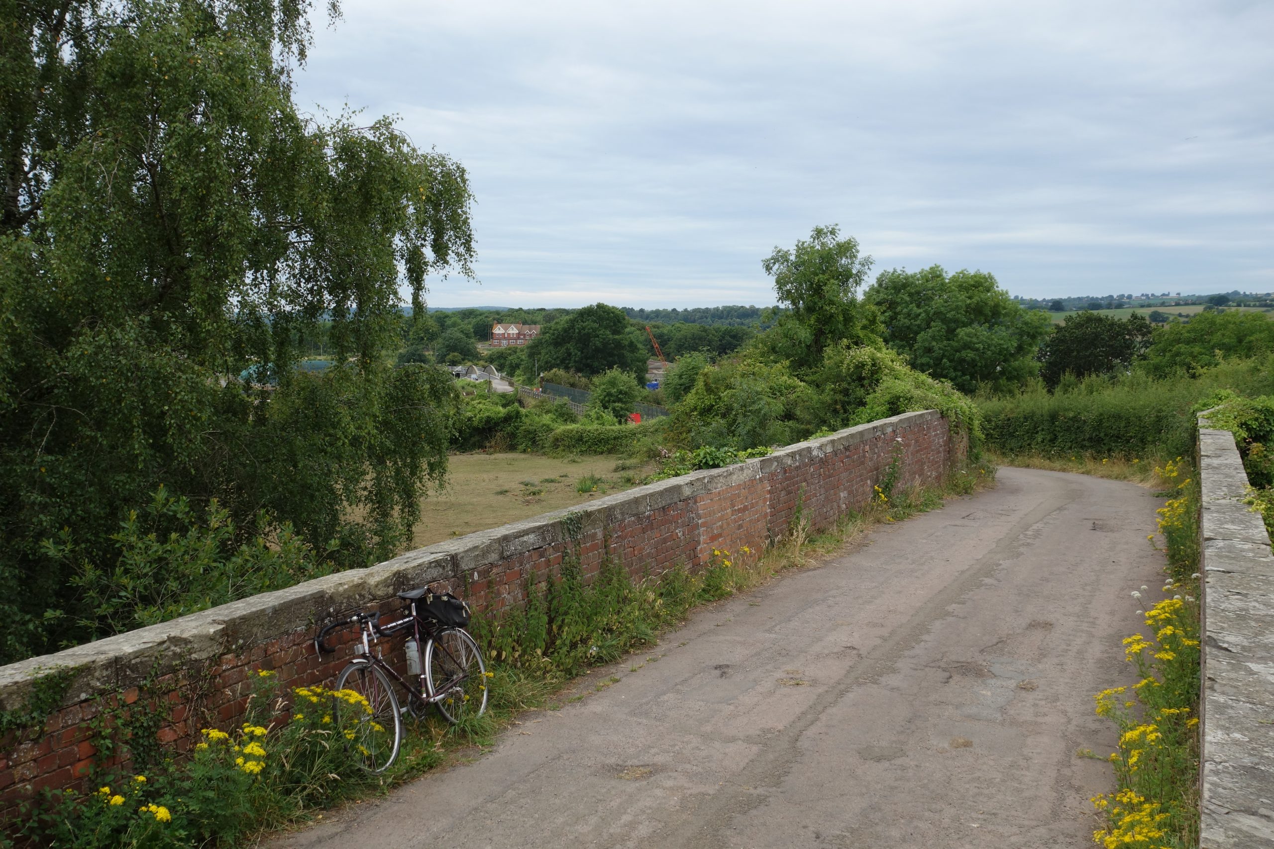
Close to the station is the Purton Road bridge ensemble.


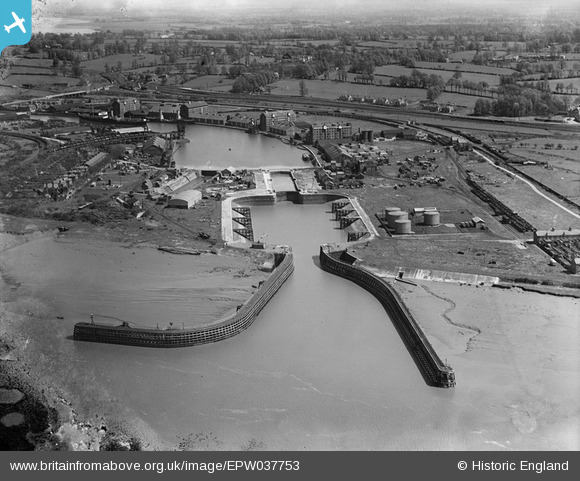
It was only a short ride to the docks satellite settlement, Newtown, which the scout was happy to pass through. The road which once paralleled the Severn Bridge line led to the former Sharpness Station.
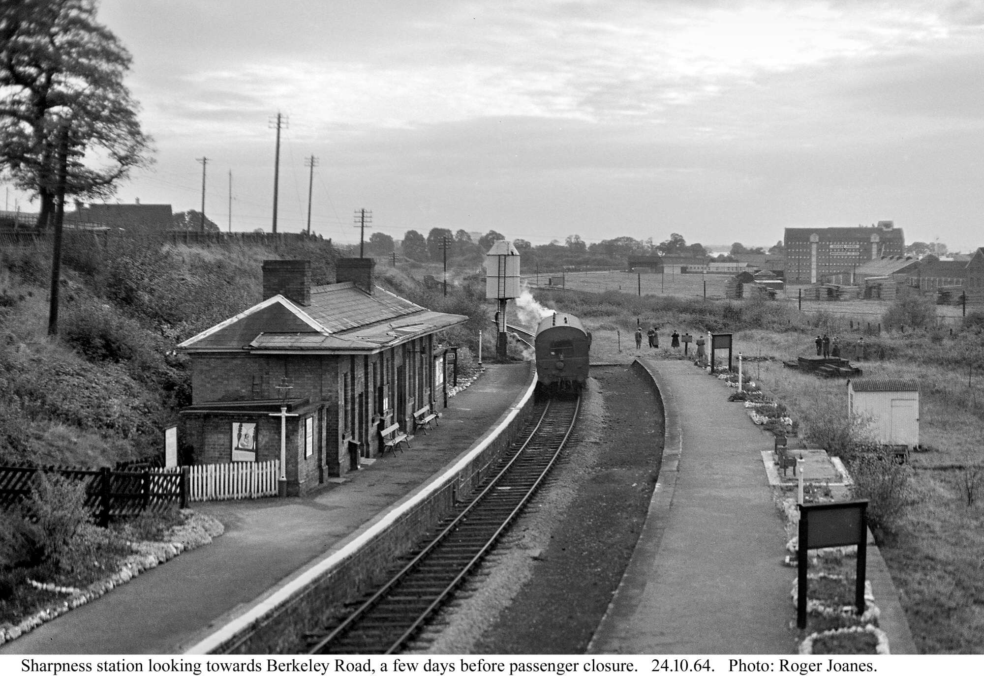
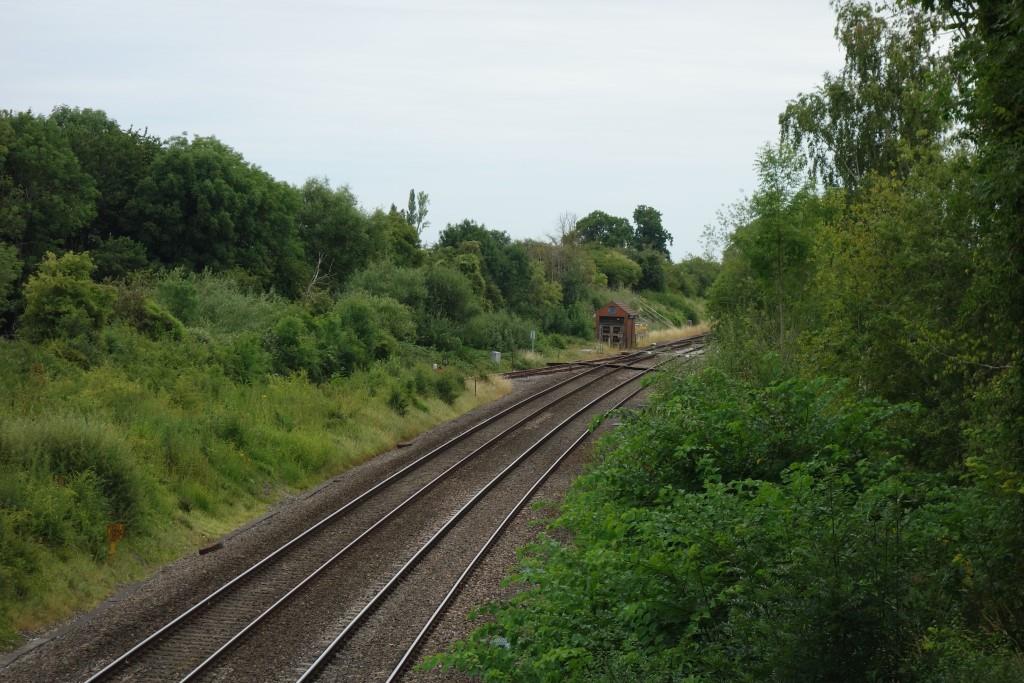
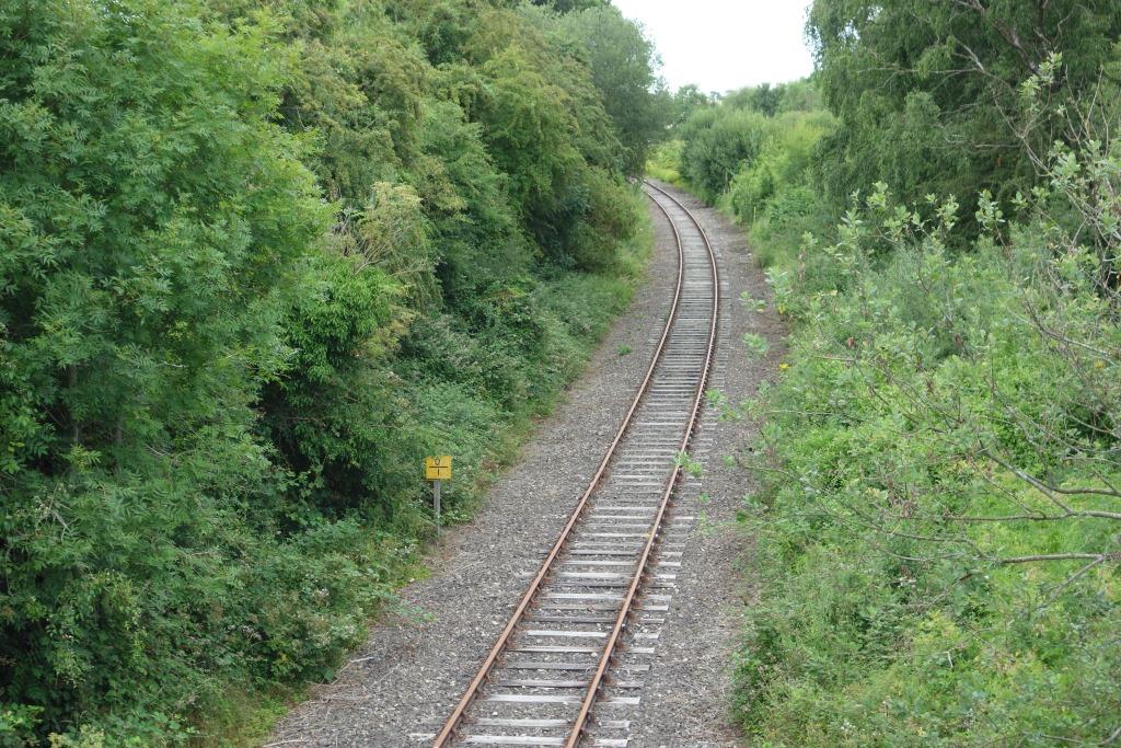
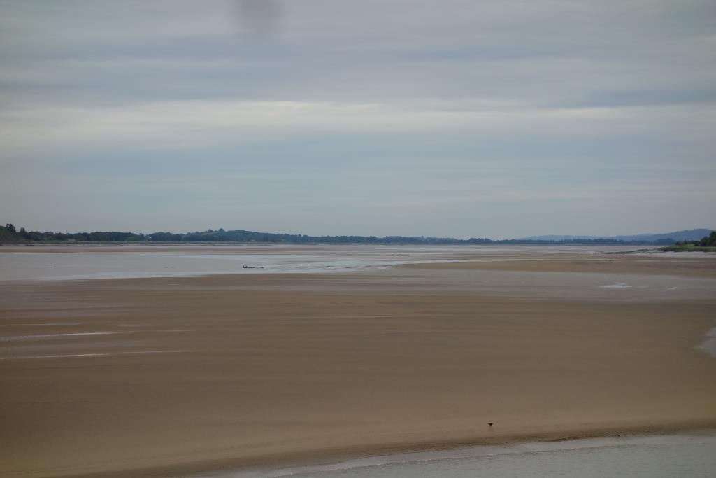
Below: From the bridge: The line became single a little ahead and continued through the cutting just right of centre to Severn Bridge and Lydney. A goods line went off left towards the viaduct and high level swing bridge.
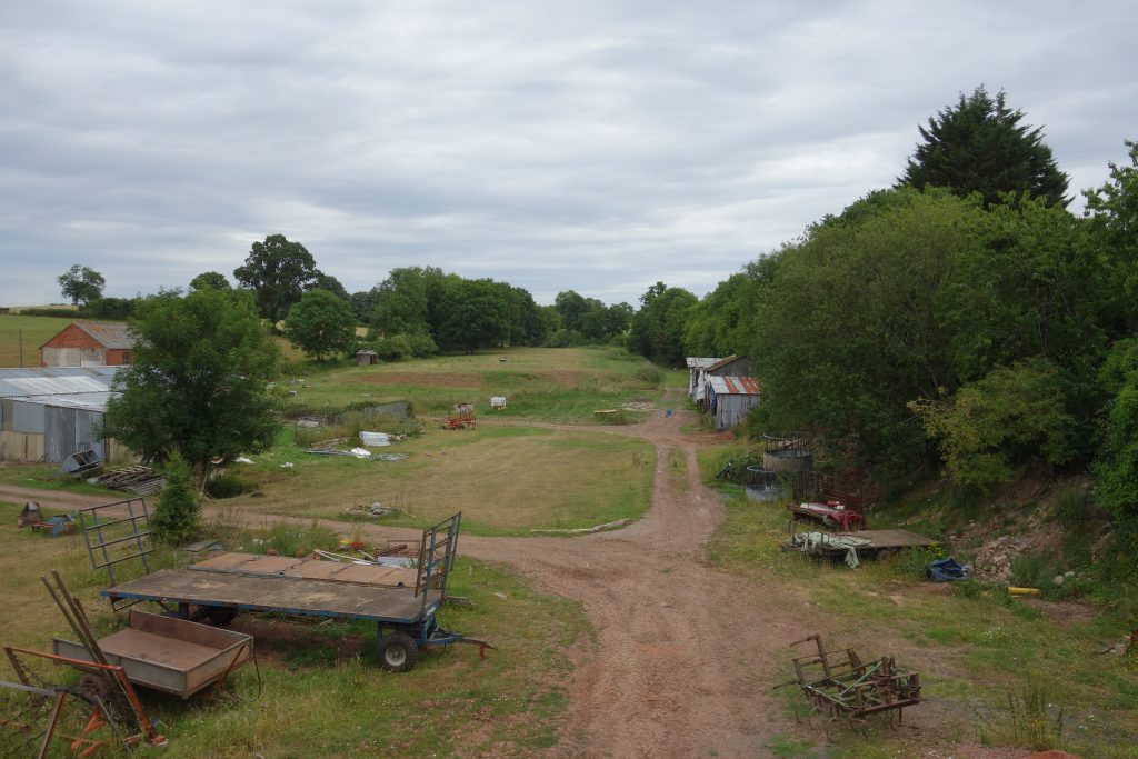
The scout is often struck by the contrast between the individual’s use of former railway property and the way in which it was kept before. And it may have nothing to do with the railway being wealthy and the new owner being poor, for the railway could well have had less money to spend. It is more likely that the individual lacks discipline, is untroubled by disorder and does not have to concern himself with appearance.


From the far end of Sharpness, the scout made his way over a little high ground to the canal basin. The Gloucester & Berkeley – or Gloucester & Sharpness – opened in 1827, is beautifully engineered.


From different places, trains were seen passing along the Great Western’s Gloucester to Newport line, once the main route from Paddington.


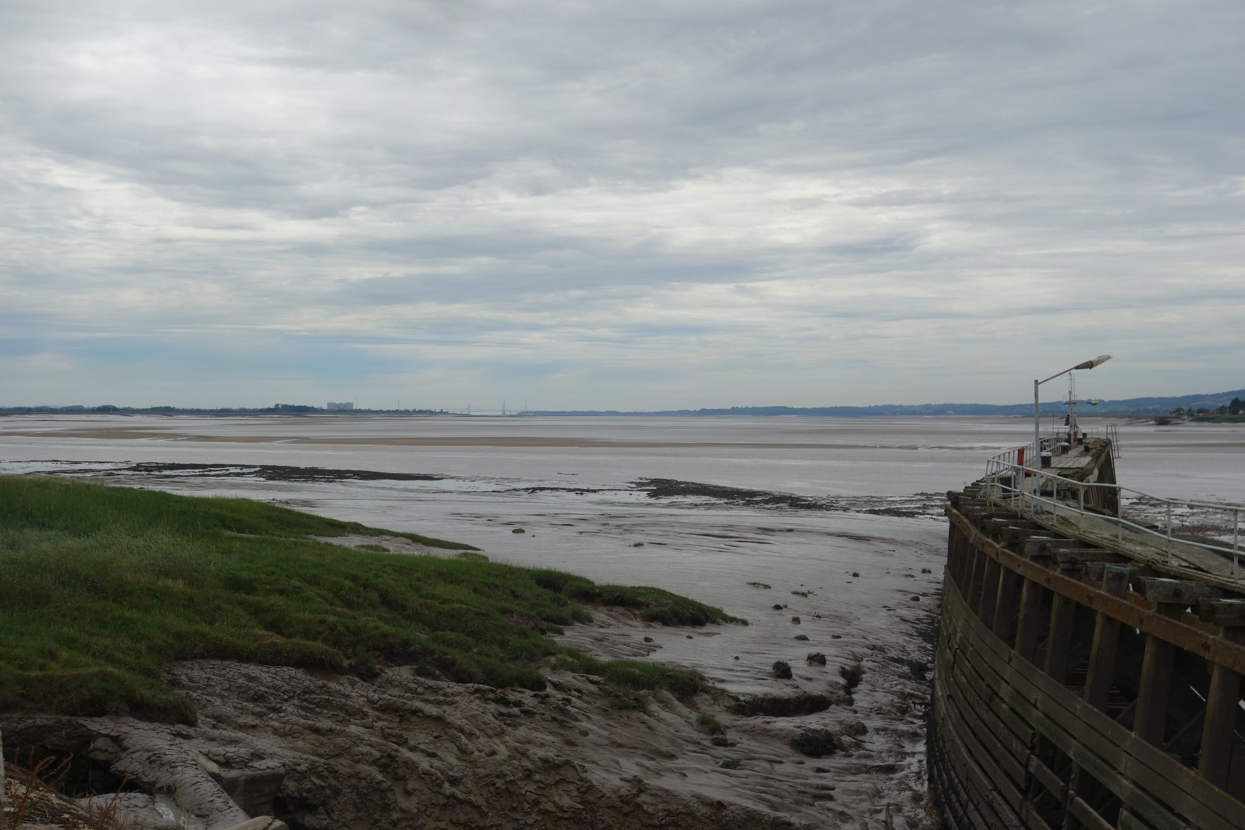
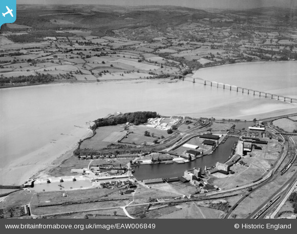
A short ride along the towpath brought the scout to the remains of the once magnificent Severn Bridge. These were actually part of the demolition contract.


More detail and some fine pictures of the bridge can be found on this page.


The scout continued to the bank of the Severn on this side and found the end of the road he’d seen earlier, coming this way.


The scout was using an old survey on which the B4066 was not marked; it tells of the former importance of rail transport that in the 1920s the only road access to the docks was over the station bridge, along the route taken earlier.
This “new,” well-engineered road, paid for of course by road hauliers, follows the branch for much of its way and then continues as the Berkeley Bypass, opened in 1985, joining the road that the scout had taken from the A38.
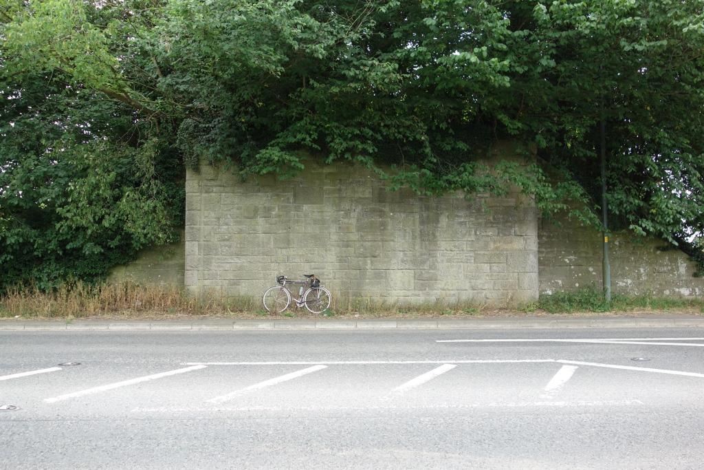
He followed the 4066 to Station Road and then went back into Berkeley. The easiest way of riding south and onto his “Bristol & Bath” sheet was to follow the blue stickers along a cycle route. This took him through some very pleasant South Gloucestershire countryside.
He left the route to visit Thornbury.
It was not far to the station site, where the former terminus has been replaced by the madness of self-centred transport along “Midland Way.”


The scout continued to the A38, where he had been before, on a ride out from Bristol.


From Grovesend Tunnel, the scout was able to follow not far off a straight line to near Pilning, mostly on quiet roads. From Pilning, he knew the road to Severn Beach.
When the scout put his bicycle on the utilicon in Exeter, he had ridden 45 miles.