
On what was forecasted to be one of the hottest days of the year in some parts, the scout again boarded the train for Okehampton, intending to return along the line visiting the places it once served.
Passengers were noticeably fewer at St. David’s, where it was still comfortably warm mid-morning. A dozen passengers detrained at Okehampton and about the same boarded. Under the glass canopy it was sweltering. The Guard remarked on the difference, a reversal of the normal experience.

The most trodden route to Okehampton must be the one followed last time, the “ancient ridgeway,” but the direction chosen by Roman army engineers, later followed by the railway builders, must have a good claim to antiquity. The scout was hoping to find a bit of it still in use and so it seemed appropriate to visit the site of the Roman fort above town.
Luckily, as the scout was looking over the gate on Chichacott Lane, the fellow who lives in the end house came along on foot and asked if the scout was touring the area. On being told that the scout was intending to follow the Roman road – a rather exaggerated claim – the fellow gave forth on what he knew about the fort and the neighbouring encampment which serviced it and came under its protection. A dig had taken place on the opposite side of the road, where there is now housing, and a good idea of the scale of the settlement was obtained. The subject is well covered in the town’s Museum of Dartmoor Life, which the scout will now aim to revisit.


Incidentally, the fellow told the scout that he had used the Sunday train service, now uses the full service and would use the proposed “Okey Parky,” if it were built.
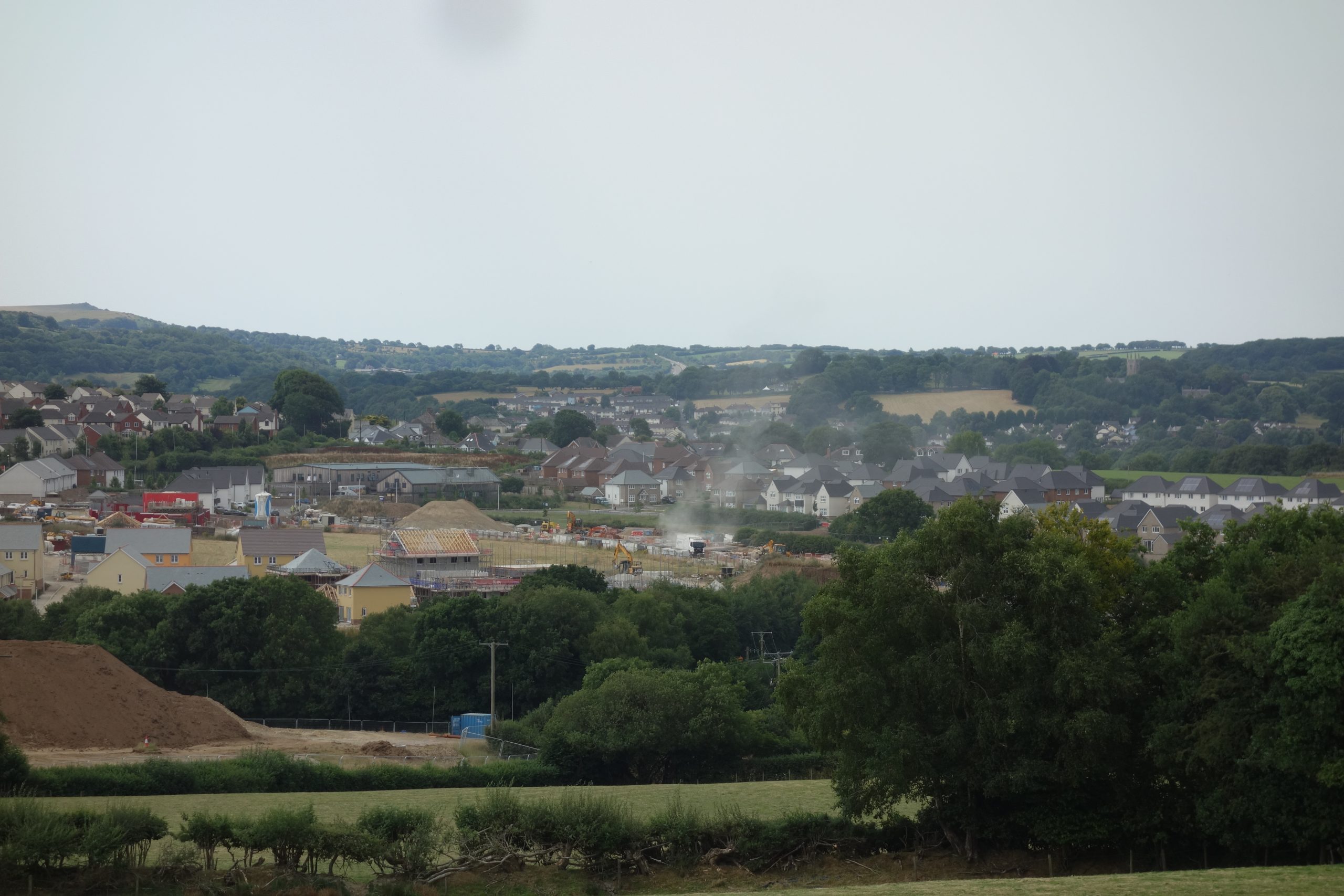
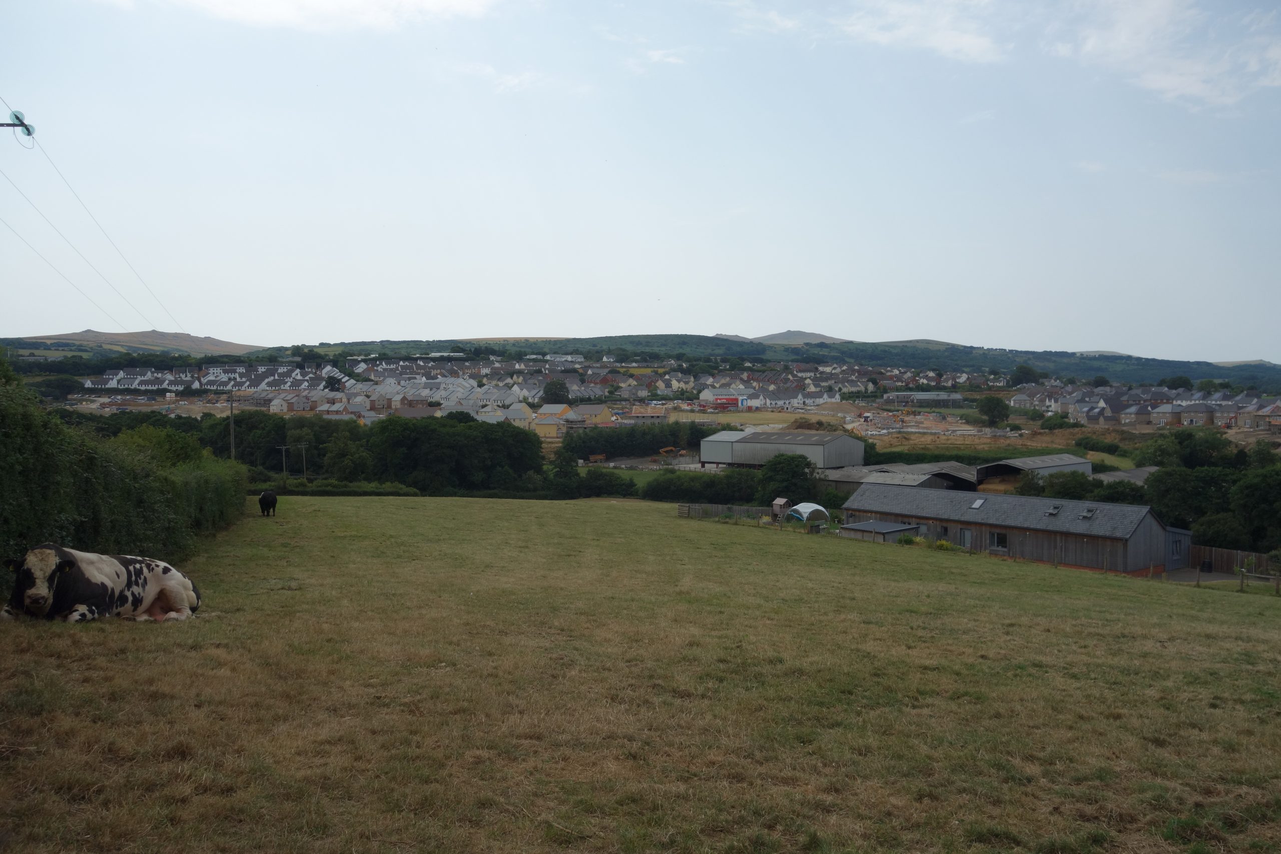
On along Chichacott Lane the scout rode, stopping to look back at the dreadful sprawl that will help make the case for a new station.
The scout rejoined the Crediton road and found that it was closed at the top of the hill. As often happens, a cheerful chap at the closure sign waved the cyclist on, informing him that men were only installing cat’s eyes. The pleasure of knowing that he had the road to himself was marred slightly by not being able to get a spurt on down the hill; the gear adjustment had gone in the heat and the scout wasn’t able to pedal his penny-farthing with the ten-foot-six wheel – using the old measure. However, he was soon at Sampford Courtenay Station, which had been open for the summer Sunday service but is now not used at all.


The scout then rode to the village, getting on for two miles distant. Scaffolding was up around some of the houses and the scout wondered if this was south-east buyers refurbishing their new “home offices.”


The scout rejoined the Crediton road and soon came upon Greenslade Bridge, the cause of a 55 m.p.h. speed restriction for diesel units.


A mile further on is De Bathe Cross, which staff at Christow remember hearing frequent mention of at the time of the Okehampton Bypass public enquiry. For many years it had been planned to take the new road north of the town. Possibly the idea was to use this turnpike as a relief; the scout seems to remember yellow H.R. (Holiday Route) signage.


On the approach to North Tawton, an oaf in a pick-up truck and in haste took the wrong side of an island and moments later was parking outside the shop where the scout went to buy his lunch. The oaf simply did the same.
A shady spot behind the church gave respite from the heat while lunch was taken.


It’s just over a mile from the clocktower to the station and much new housing is being built within that distance.
In 1991, to facilitate the passage of large goods vehicles along the A3124 between De Bathe Cross and Whiddon Down, the low rail bridge was demolished and new, longer girders carrying the single line were installed at a higher level. Using thousands of tons of scalpings from Meldon Quarry, the railway was graded in both directions to allow it to surmount the new bridge. This left the track high above the old station platforms. No thought then was given to future reopening of the station, although if this were to happen, as it should, a new platform would be needed anyway.
North Tawton lies on a four-mile straight, the longest in Devon. The scout remembers sitting behind the driver of a D.M.U. and seeing the line ahead fall and rise again in the distance. This sight is not even had by drivers any more, thanks to the railway being a linear nature reserve.


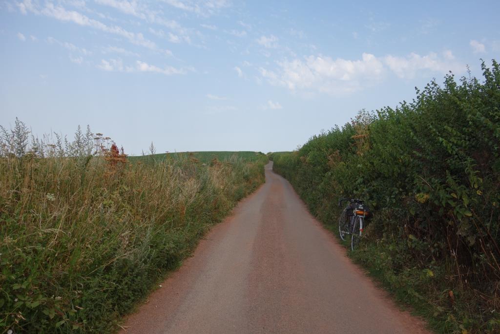
Pursued by heavy lorries, the scout climbed the hill from the station and escaped along Itton Road. He soon stopped to look for signs of the feature that he had long ago seen on O.S. maps but had never bothered to question.
The railway straight is shadowed for most of its length by a Roman road, only discovered, or identified, by the O.S. in the 1950s. Exploration and excavation have since proved the existence of the first-century road from Exeter to Okehampton.
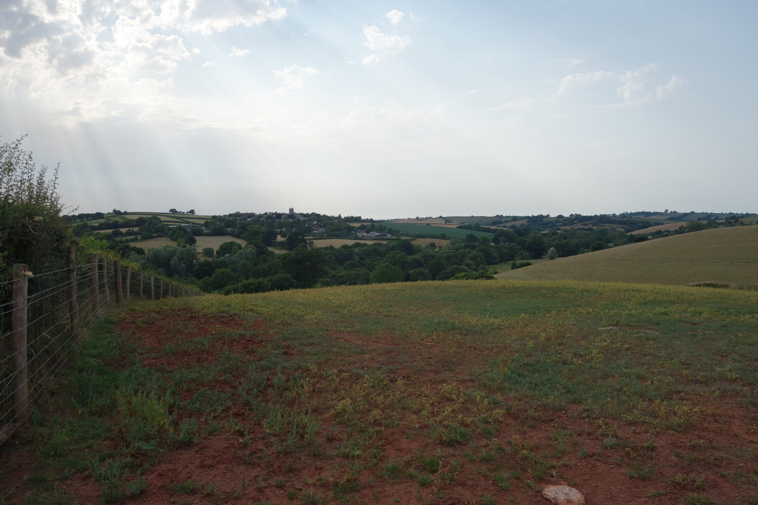
North Tawton can be seen in the distance at left. +


No length of the road is as obvious as this straight, but other sections have been found. LiDAR surveys have been a great help; the marching fort beside the railway at North Tawton has been revealed. The road to Okehampton must have been disturbed by the building of North Tawton Viaduct over the Taw.
In the other direction, the road is part of the boundary between North Tawton and South Tawton parishes. Parish boundaries seem ancient enough, but the line of the Roman road was chosen probably without people at the time knowing what it had been.
A paper by the Devon Archaeological Society provides a fascinating introduction to the subject.
A Lidar fly over of the route: “The Roman Road from Exeter to North Tawton.”
Not far from where, around “MDCCC” years later, rails were laid 56.5 inches apart, the Roman road was exposed by archaeologists. “A width of about 7m of stone metalling was recorded; remarkable, was the identification of two parallel wheel-ruts 1.5m (59 in.) apart.”
The village is nearly a mile and a half from the station. The scout was tempted to turn towards Colebrooke but continued to the crossroads and rode a loop around the village.


Along the quiet lane to Colebrooke, the scout must have been affected by the heat, for at one point it began to seem as if he were stationary and it was the road moving. Red earth on the road, seen through sunglasses, added to the sensation.


The last road bridge before the junction the scout had photographed on another occasion, while the line was privately owned.


The scout rode through Colebrooke and down to Keymelford Bridge beneath the North Devon line. He stopped at the top of the next climb to look back.
The transmitter at Waddles Down had been in view for some time and the scout had thought about climbing over the hill to Exeter. But when he reached Crediton, he slumped in the shade of the station waiting room, having decided that 36 miles in the heat was enough.