
Not being sure that he had ever ridden the turnpike in its entirety, the scout caught the train to Okehampton and leisurely made his way back to Exeter, stopping to look at disused or lost lengths of the old road and neighbouring features.
Having passed over the railway and left the sprawling town behind, the scout came upon the first diversion of the turnpike. But even amid the greatly altered landscape a little of the old route was found.


 is partly lost in the trees at right.")
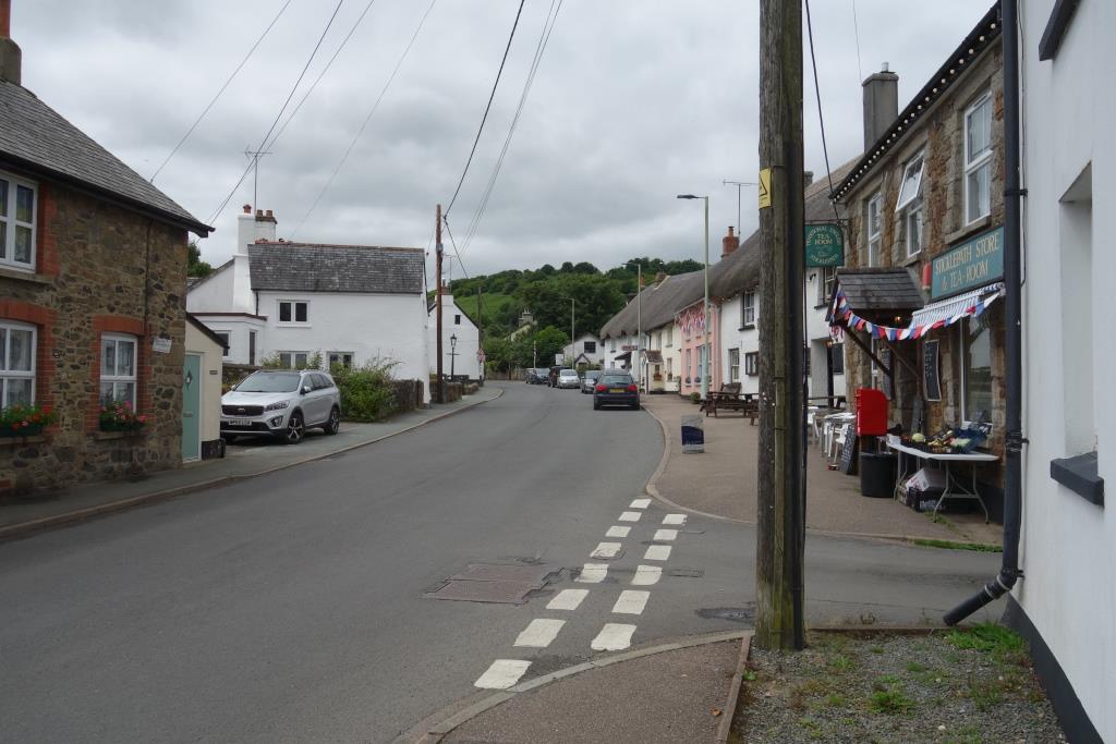
Whereas on his return to Christow one evening a week or so before he had gone through Sticklepath rapido, on this occasion he intended to linger and so entered sedately. Seeing the sign for Skaigh, he turned right and climbed a lane he had never ridden.
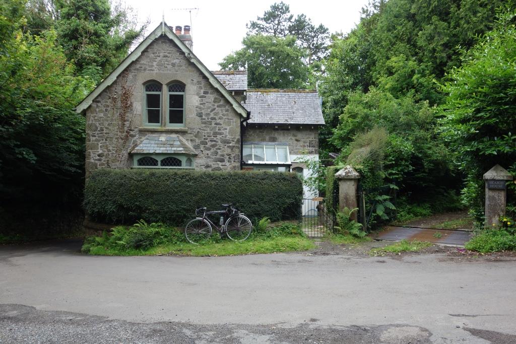
The scout decided to continue to Belstone as it was only a gradual climb from Skaigh.


Sticklepath, between milestones 3 & 4


Bypasses were made, not for speed, but to ease gradients. The scout avoided the stiff climb beyond the village by detouring to Ramsley, where a rare turnpike feature was found.
Ramsley, between milestones 4 & 5
When the turnpike was built in 1829, roads seldom bridged other roads. The difficultly of providing two side junctions here must have been the reason for building a bridge.


The construction of the bypass revealed deposits of copper and arsenic, which were mined from around 1851.


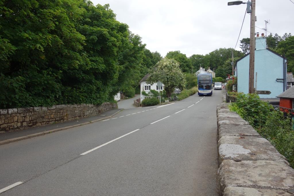
The lady who lived in the old Rising Sun spotted the scout photographing her home and he chatted with her. She told him the inn had suddenly closed its doors in 2001. She had been concerned about vans parked in the loop of old road as lately there had been instances of sheep rustling. The scout said that he well remembered riding down this hill on a summer Saturday, passing slow-moving traffic backed up from Okehampton.


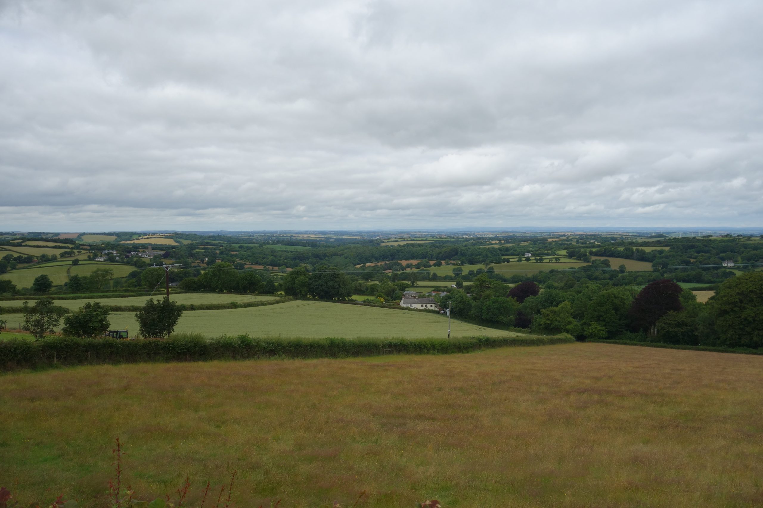
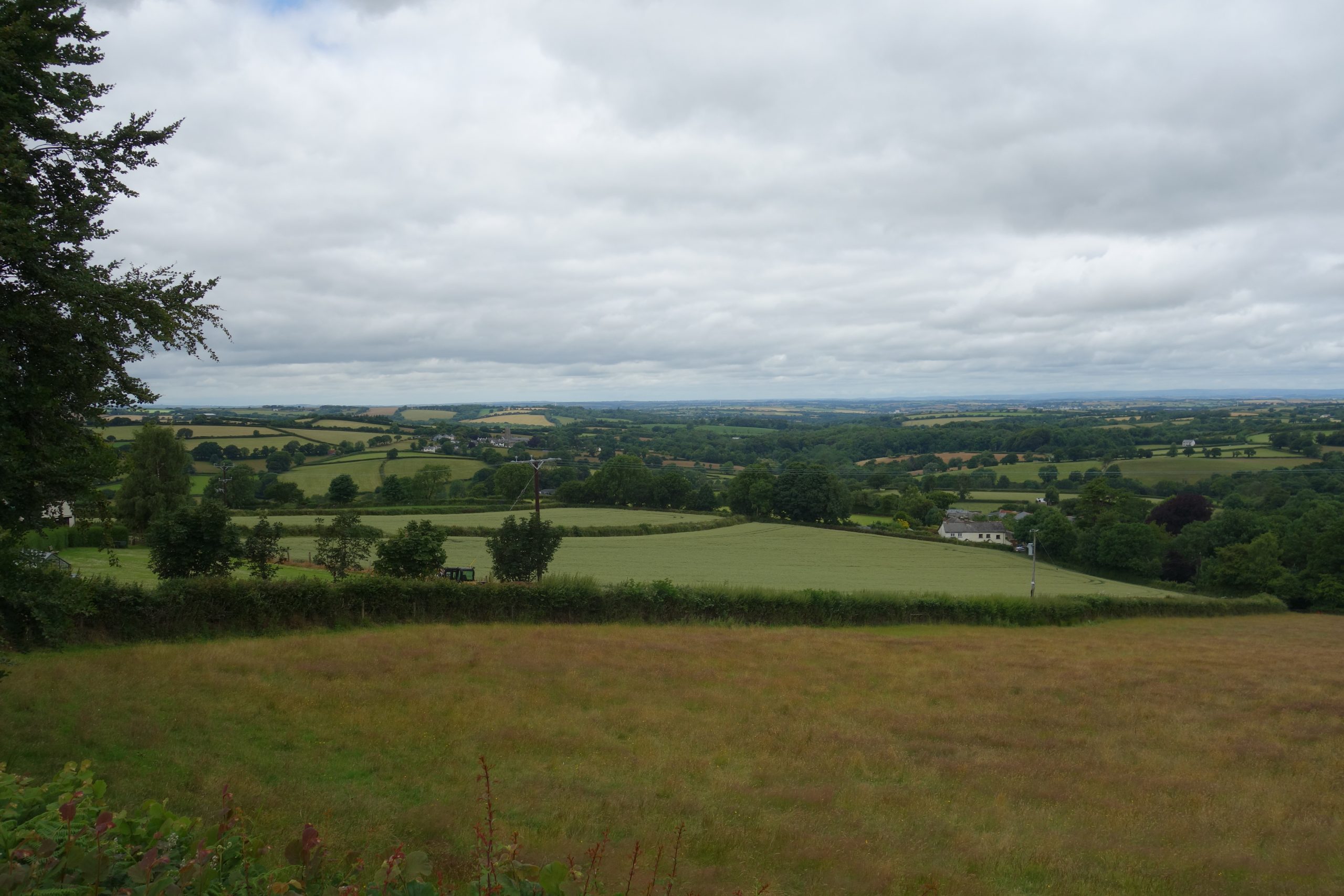
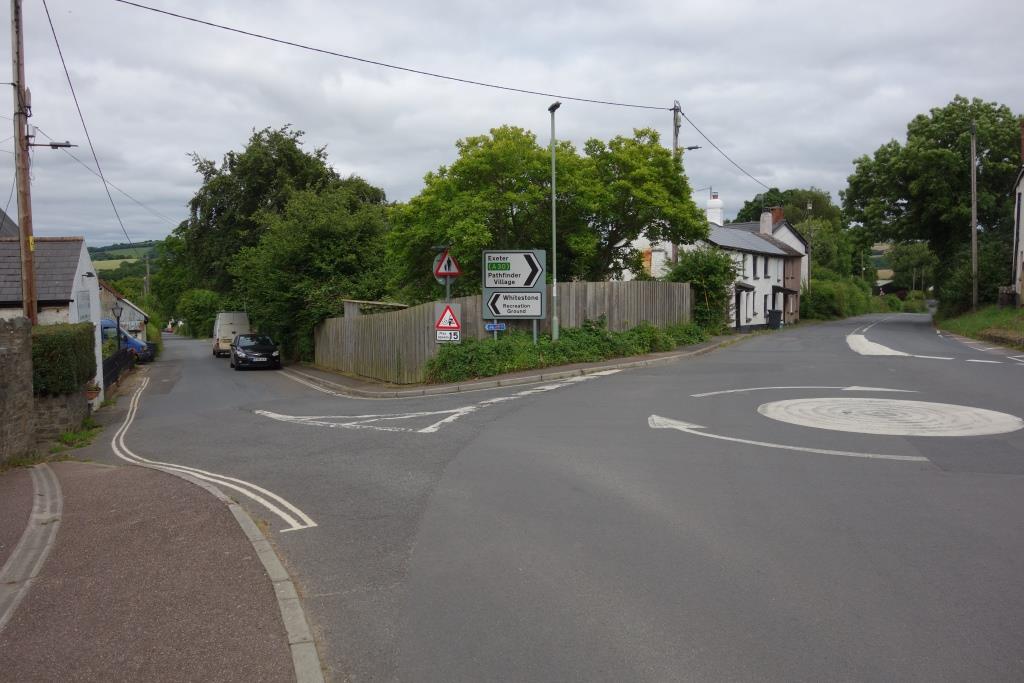
Whiddon down, between milestones 7 & 8


For many years, Merrymeet Roundabout at Whiddon Down was the extent of the dual carriageway. Later, a length of the old turnpike would be lost completely.


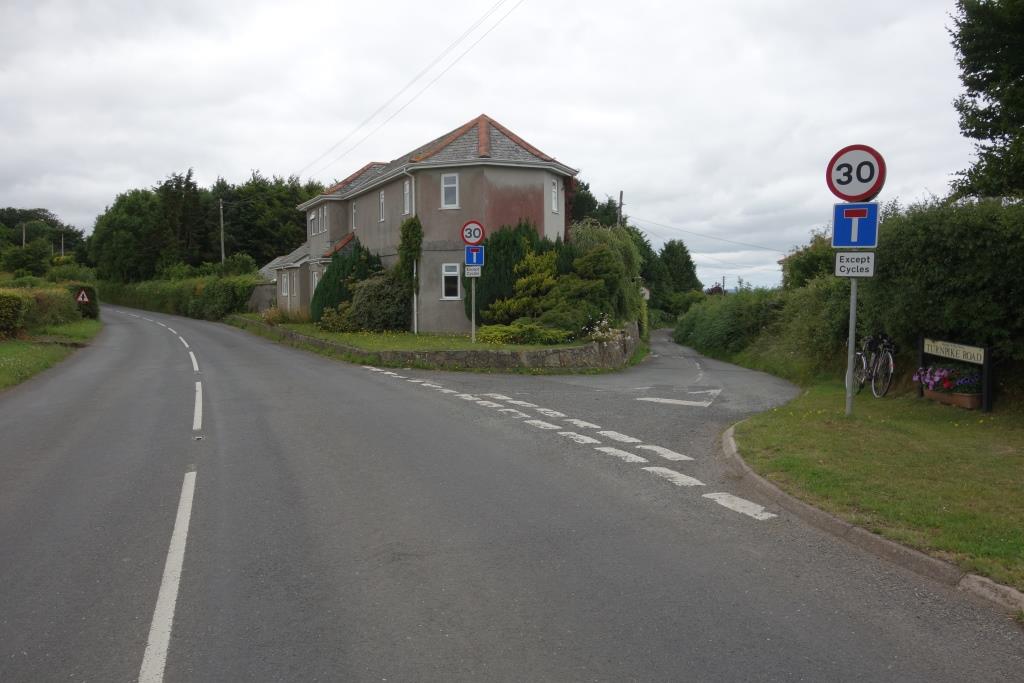
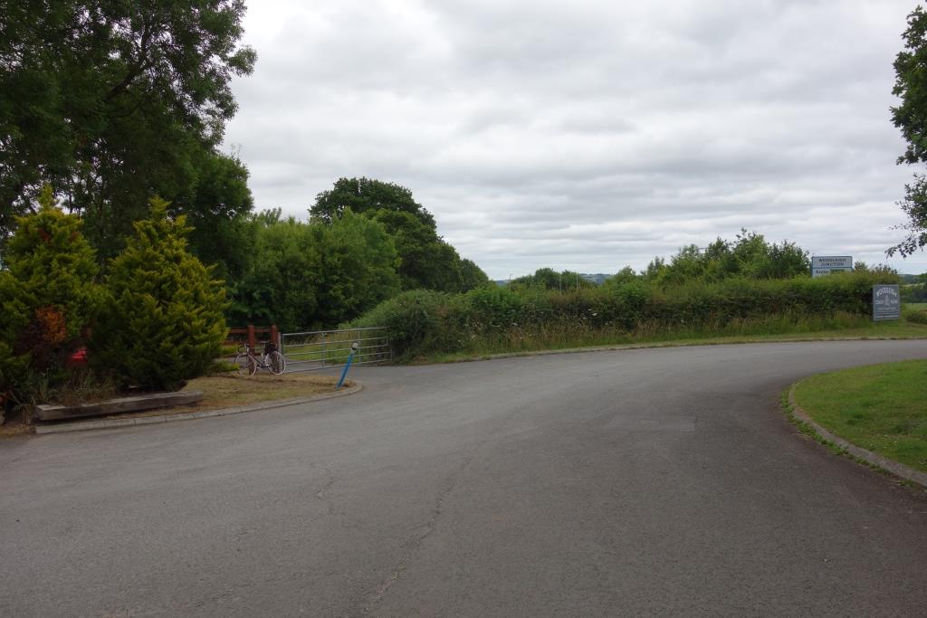
The scout took the turning for Drewsteignton, which road passes immediately beneath the A30, and then turned right along another length of the old road, still in use as a feeder.


A mile from Crockernwell, the new minor road sweeps away from the dual carriageway to take in a short length of Hask Lane before crossing the major road. Another length of the old road can be found here.


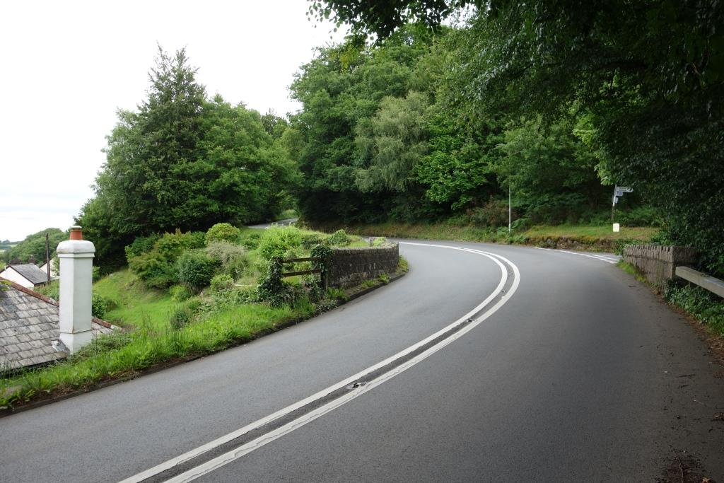
Crockernwell, milestone 11¼ from Okehampton, 11 from Exeter
This is the third time the end-on junction of the turnpikes has been mentioned on these pages. The pavement has been weeded since the scout photographed the collection of stones in 2020 and told of Lieut. Lapenotiere’s dash to London with news of Trafalgar.


Cheriton Bishop, between milestones 9 & 10 (from Exeter)
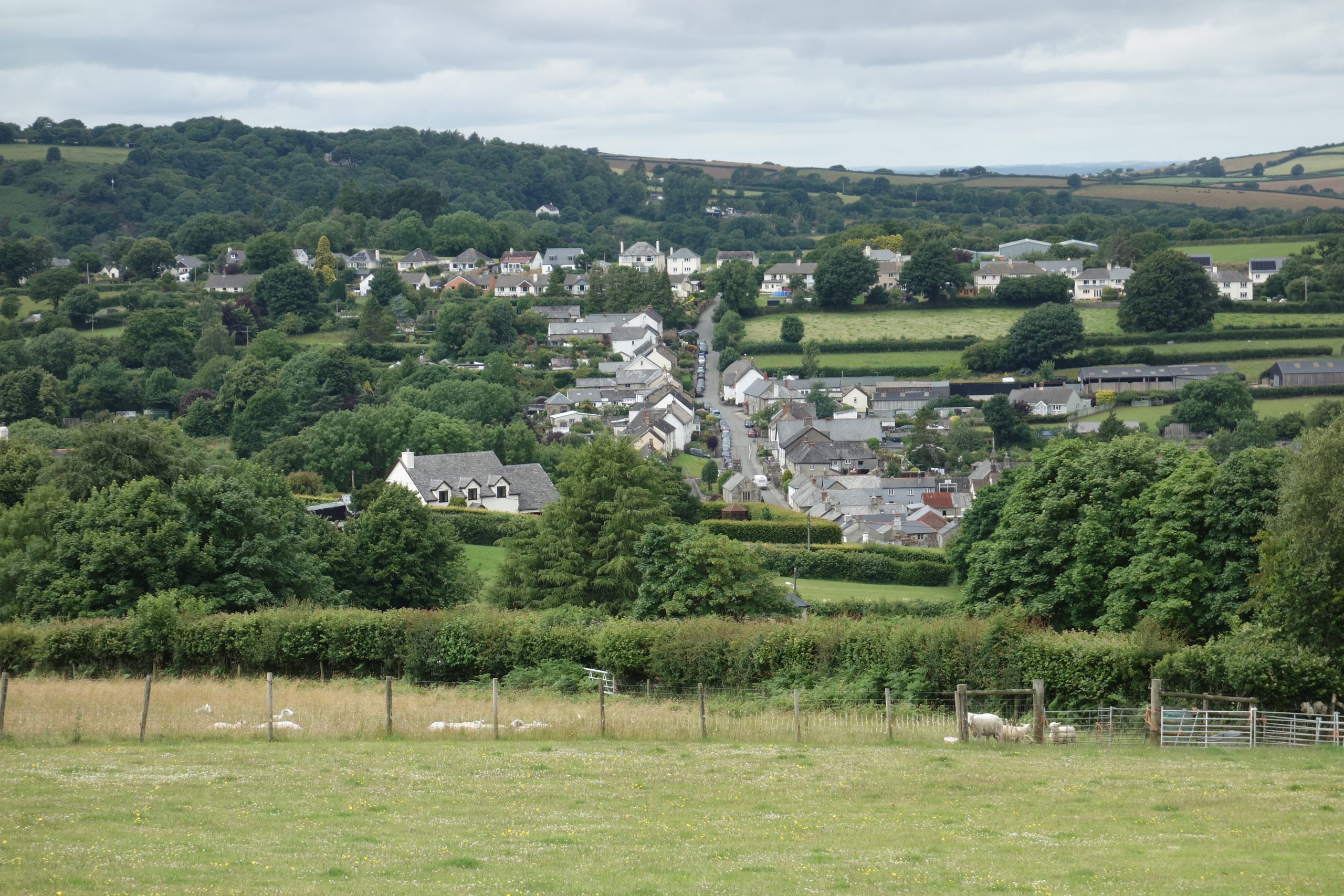
Although today known as Cheriton Bishop, the settlement that grew up on the turnpike is actually Cheriton Cross; the village lies getting on for half a mile away to the north.The scout rolled in here at four o’clock and bought a Chunk pie in the shop cum post office. He ate it by the stone cross which had had to be moved to allow the road to be widened. At 608 feet above sea level, the scout still had a lot of height to lose before reaching Exeter.

 to stop the traffic here. In Fact the road is twice the width it was before it became swamped with motor vehicles.")


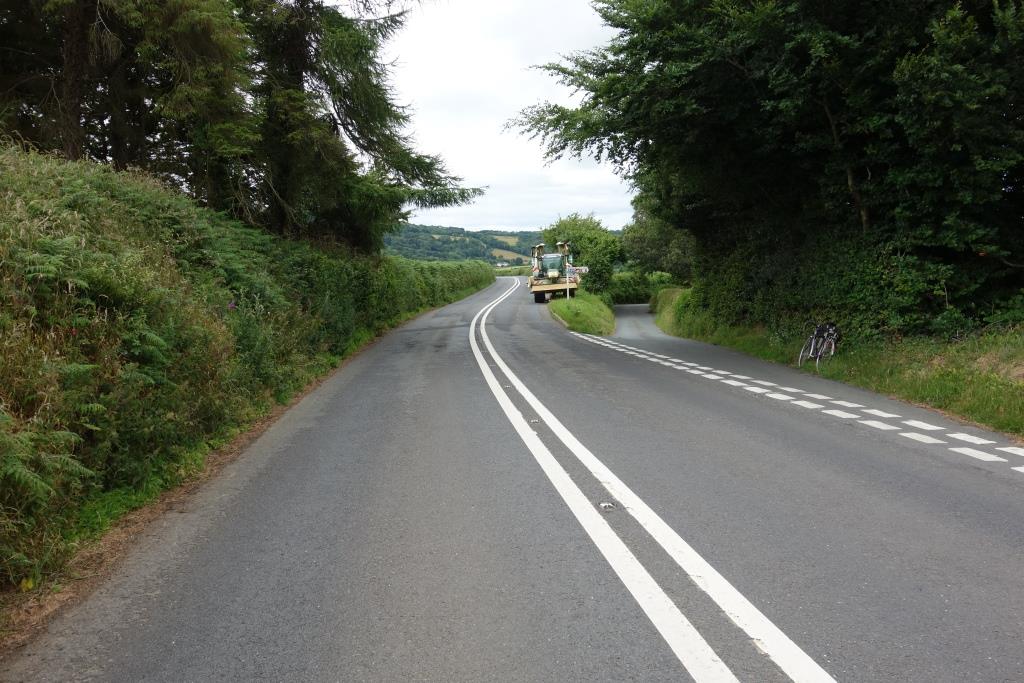
Tedburn St. Mary, between milestones 7 & 8
Like Cheriton Bishop, Tedburn St. Mary lies north; the cluster on the turnpike which is included today is actually Taphouse.


Lieut. Lapenotiere’s post-chaise would have gone left here. In 1805, there may have been a road to the right but it was not the way to Exeter.
The road has been straightened here; the turnpike had a dog-leg where this entrance is now.
A couple of miles from Exeter, a new length of road shadows the dual carriageway but its course is very close to that of the turnpike.
At Pocombe Bridge, less than 100 feet above sea level, where there is a junction with the B3212 running from Exeter to Moretonhampstead and across Dartmoor, the old A30 is now the minor road.
Until late in 1975, it was common to see traffic on the B3212 stretching up Baker’s Hill, waiting to join the A30. On a summer Saturday, traffic from the Teign Valley and Dartmoor had not only to cross the unending line of holidaymakers heading west, but also it had to get into the unending line returning.
The scout started work at Longdown Station in 1975 and had a single-speed moped which required pedal assistance ascending Baker’s Hill. He always felt slightly embarrassed being watched by motorists in the long queue as he started pedalling; to make it worse, the fixed vizor of his helmet would then become misted.


Little John’s Cross, milestone one
Little John’s Cross stands at the top of the first climb from Exeter. The crossroads at the bottom – Cowick Street, Cowick Lane, Buddle Lane – was always referred to, usually with a groan, as the “Falmouth,” after the Falmouth Inn, later the First and Last. There is no pub on the corner now.
Another Sunday afternoon outing from St. Thomas was a walk to Ide by way of Little John’s Cross Hill. Descending the hill and coming upon the unspoilt valley of the Alphin Brook was then like entering deepest Devon.


It is Dunsford Road, not Okehampton Road, because the later route to Okehampton used the existing Dartmoor Road as far as Pcoombe Bridge. Okehampton Street goes off in another direction from Exe Bridge and becomes Okehampton Road after passing beneath the South Devon main line.
The old Tiverton road had very steep sections but the route started with the height advantage of the city. The pre-1821 Okehampton road climbed immediately from the valley floor and had severe gradients, which were avoided when the later turnpike followed the valley of the Alphin Brook towards Taphouse.


Roman army engineers and, much later, the railway builders, chose an entirely different route to Okehampton, covered in “Return from Okehampton II.”