
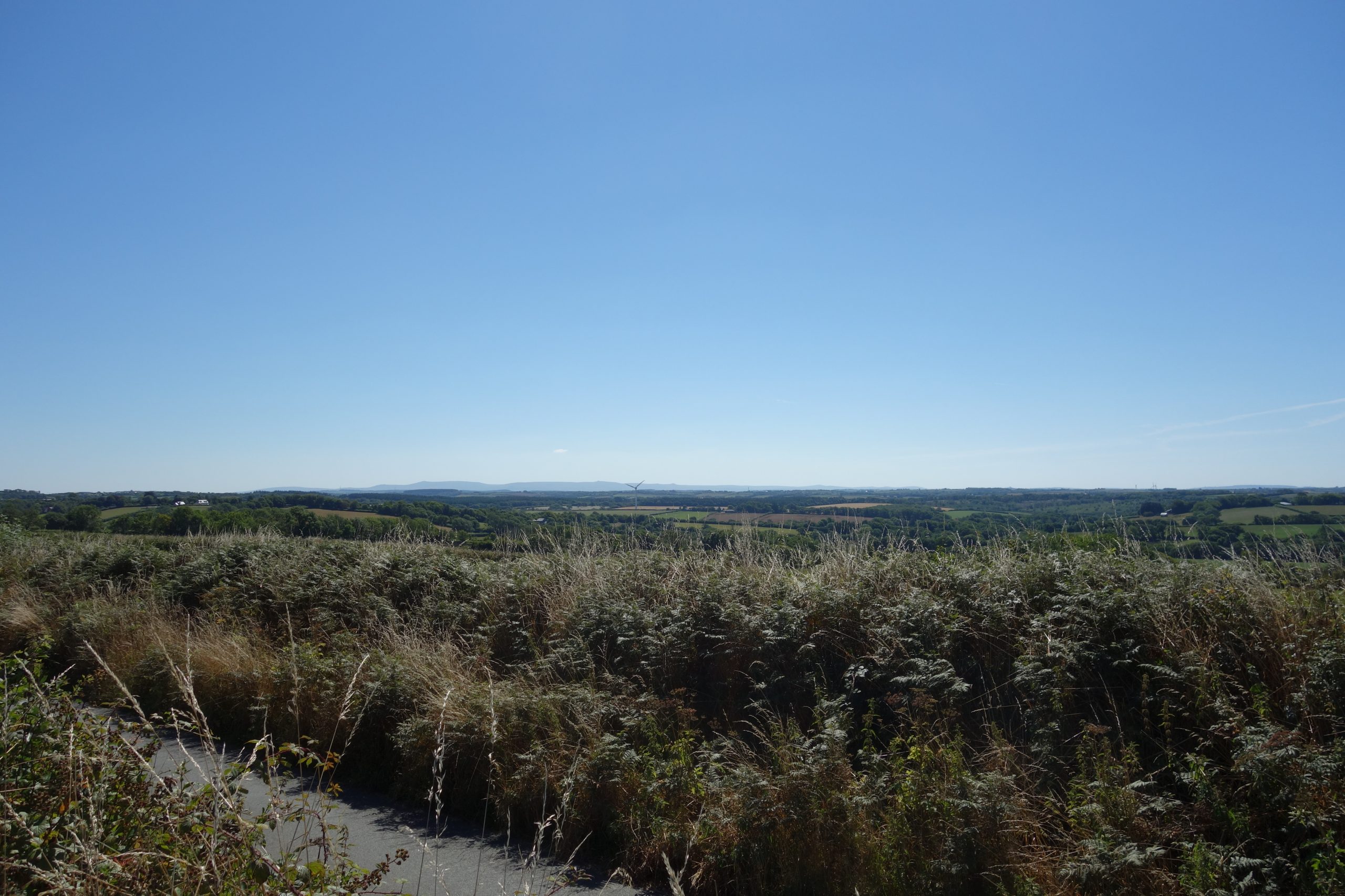
This was strictly a “route learner,” rather than a “refresher,” because the scout had only ever been to the stations. On a hot, summer Sunday, he left the utilicon at the junction and set off to follow the line as closely as he could.
He had not intended to keep to the formation to start with, because he had done this before, but went to have a look just in case there had been any clearing around the old light railway’s platform. He found that it was all still overgrown. Changing his mind, he pressed on through the nature reserve to see where the forest track joined the main road.


The forest tracks were dressed with vast quantities of broken stone. The scout thought about the lavishness of these roads, built for periodic timber harvesting, and the difficulty of rebuilding the railway.
Across the road, a little way along it, was the Cookworthy Forest Centre, formerly the base of South West Forest, responsible for the planting of 10,000 acres of additional woodland in North Devon and North Cornwall. The project came to an end in 2009 but Forestry Commission staff is still based there.
The scout left the main road to pick up the line again at little Hollacombe.


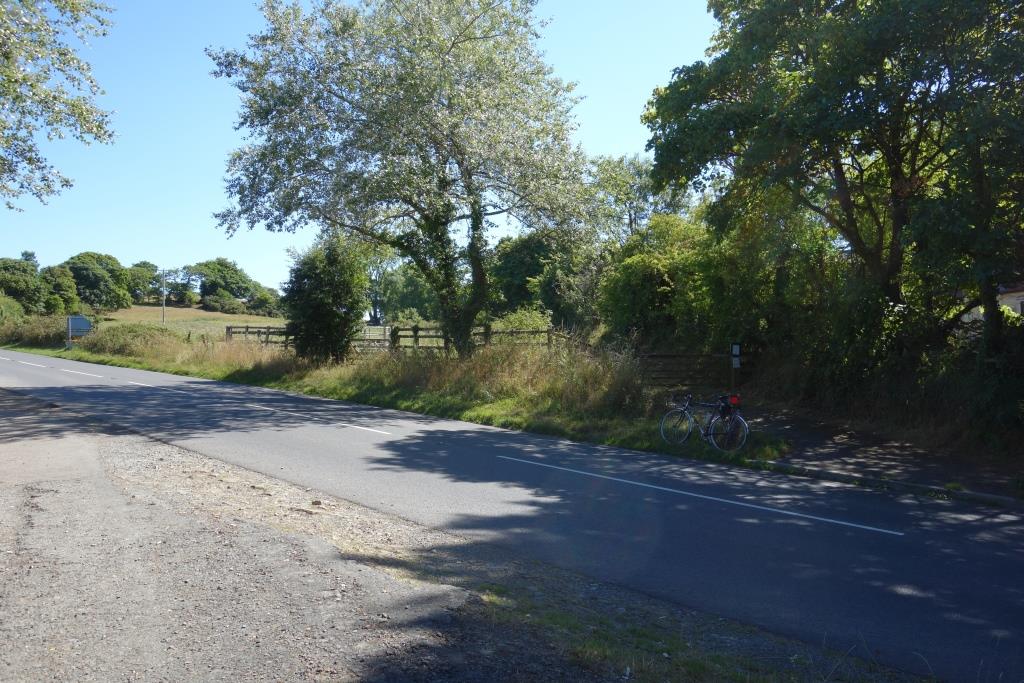
The scout turned at Combesdown Cross, intending to join the main road, but found that there was a path along the line from where there had been an overbridge.
As he was taking in the place, three cyclists emerged from the gateway and paused. The scout asked them how far the path went in the direction of the junction and was told that it didn’t go far; in fact it went as far as the bridge in Hollacombe, but the scout hadn’t noticed the gate. One chap said that his grandfather had campaigned for the creation of the path.


What the scout thought would have been a comfortable ride to the edge of Holsworthy turned out to be a bit of a boneshaker, as the path changed from tarmac to bare ballast.
The scout rides a touring bicycle made from Reynolds 531 butted steel tubing. Tourers are designed to carry a substantial load over punishing roads. The scout tells himself, as he’s bumping along, that even though the luggage allowance is taken up by flab, the machine can take it.


Holsworthy
Holsworthy, Dunsland Cross, Halwill and Ashbury are all covered by No. 31: Okehampton to Holsworthy.
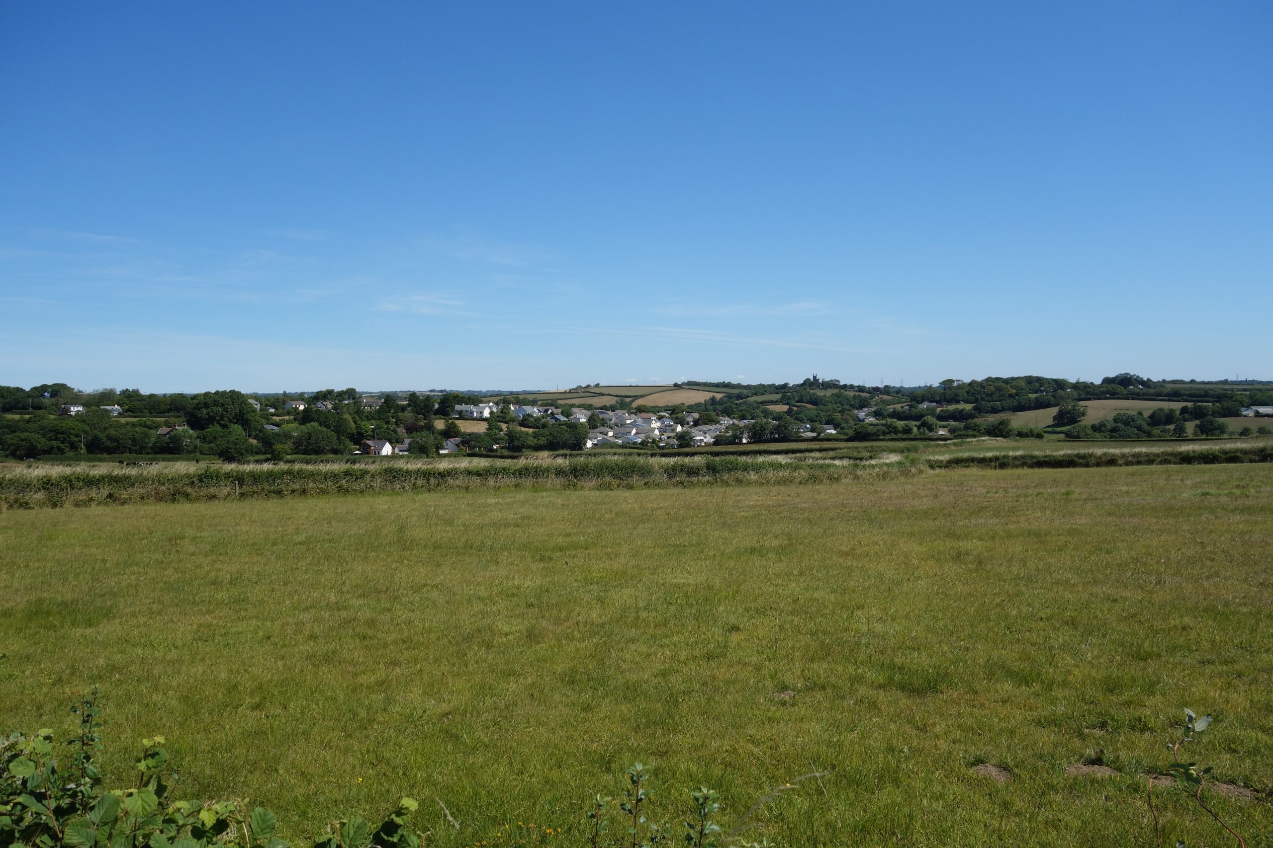
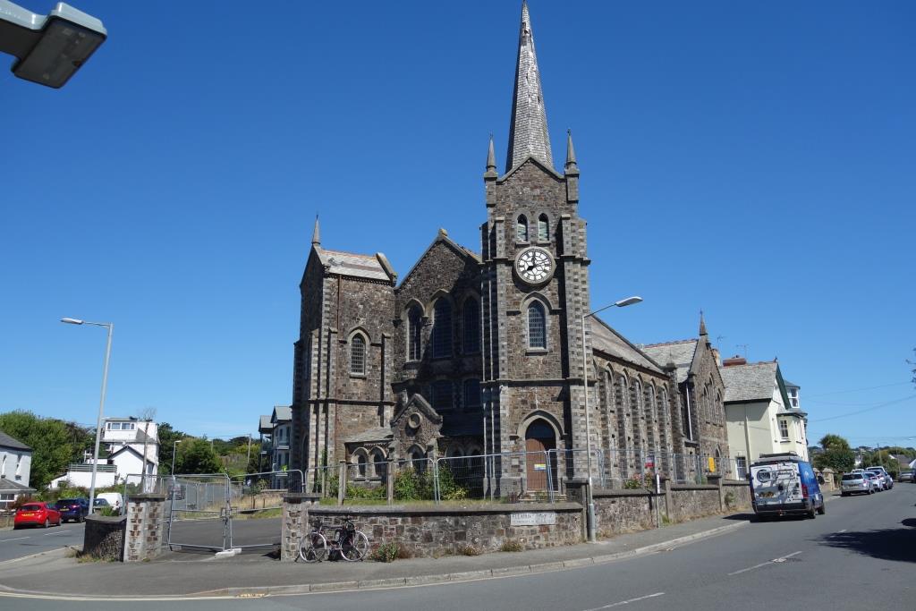
The scout did not dwell in Holsworthy but made straight for Derriton Viaduct.


The town can be seen beyond, with St. Peter & St. Paul’s Church just right of centre. +


The scout was sad to find that there was no chapel in Pyworthy, for he often makes reference to a notice, pinned to the door (of this non-existent building), advising that fabled circuit speaker, Allouicious Hill, would be giving forth on the subject of his favourite sin on the following Sunday evening, a talk that would without doubt enrapture his flock of elderly spinsters and pious yeomanry.
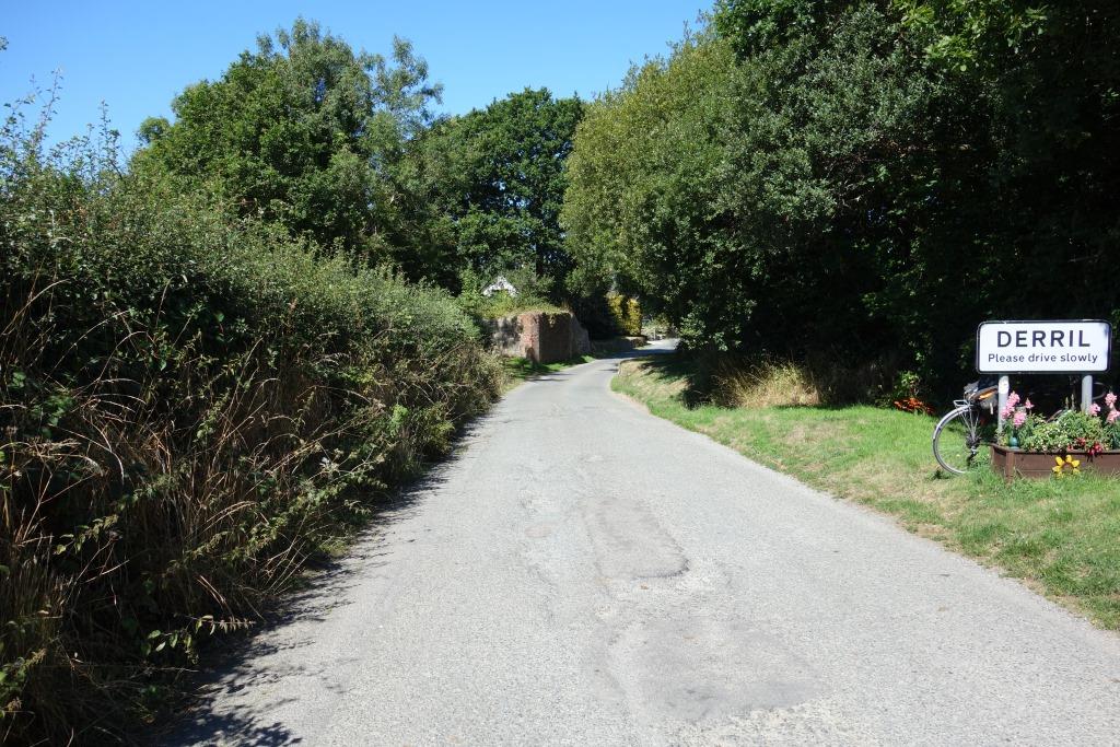
The scout didn’t notice that there was a Bible Christian Chapel in Derril. Now converted to the worship of materialism, it is largely unseen from the road.
For the most part, crossing the River Tamar means entering Cornwall, but Bridgerule would be divided – it was once East and West Bridgerule – if this were the case here and so both sides of the river are in Devon. Perhaps this makes up for Saltash Passage, the bit of Devon stolen by Cornwall (but since handed back).


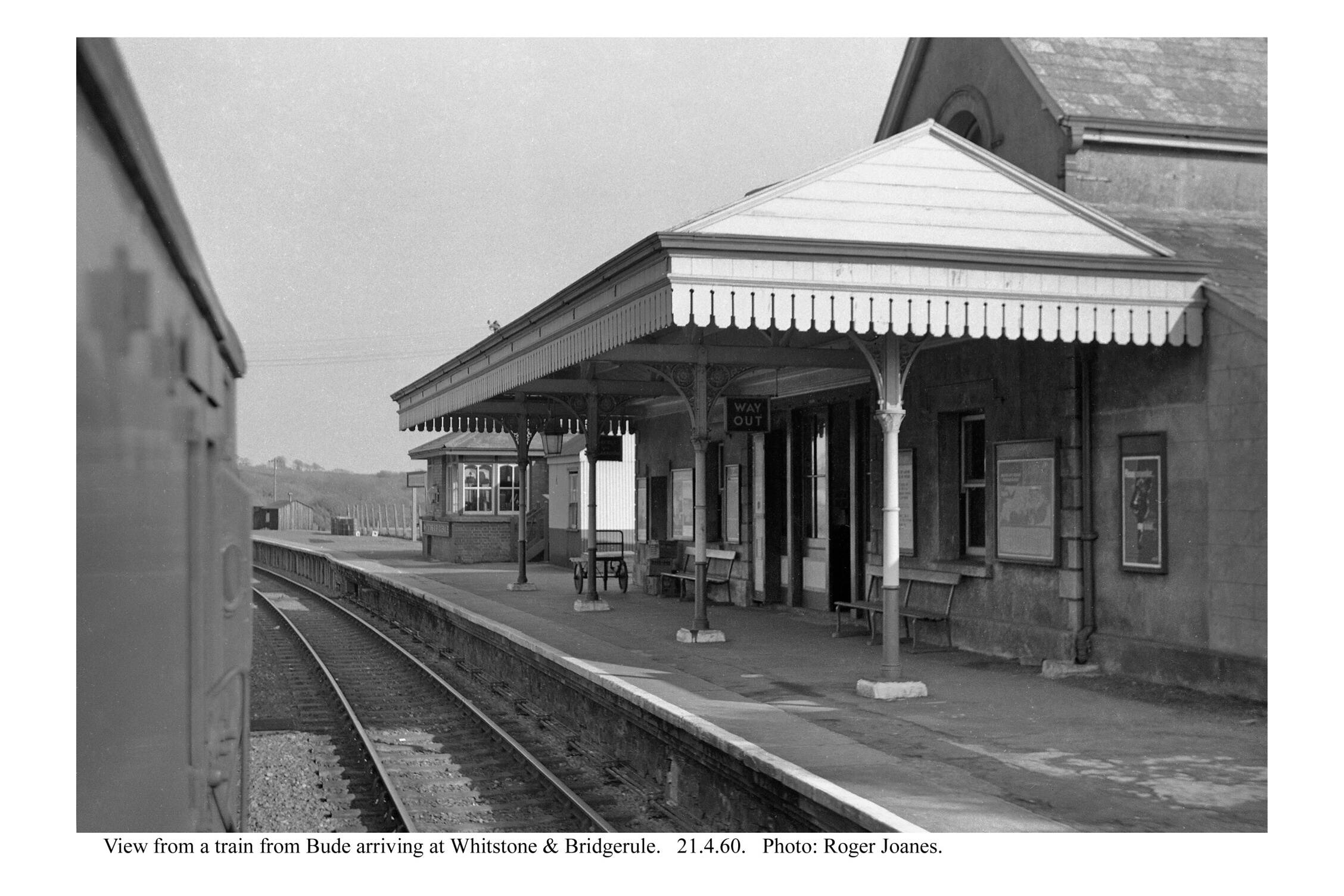
Whitstone & Bridgerule
Whitstone, in Cornwall, is even further away than Bridgerule from its station.
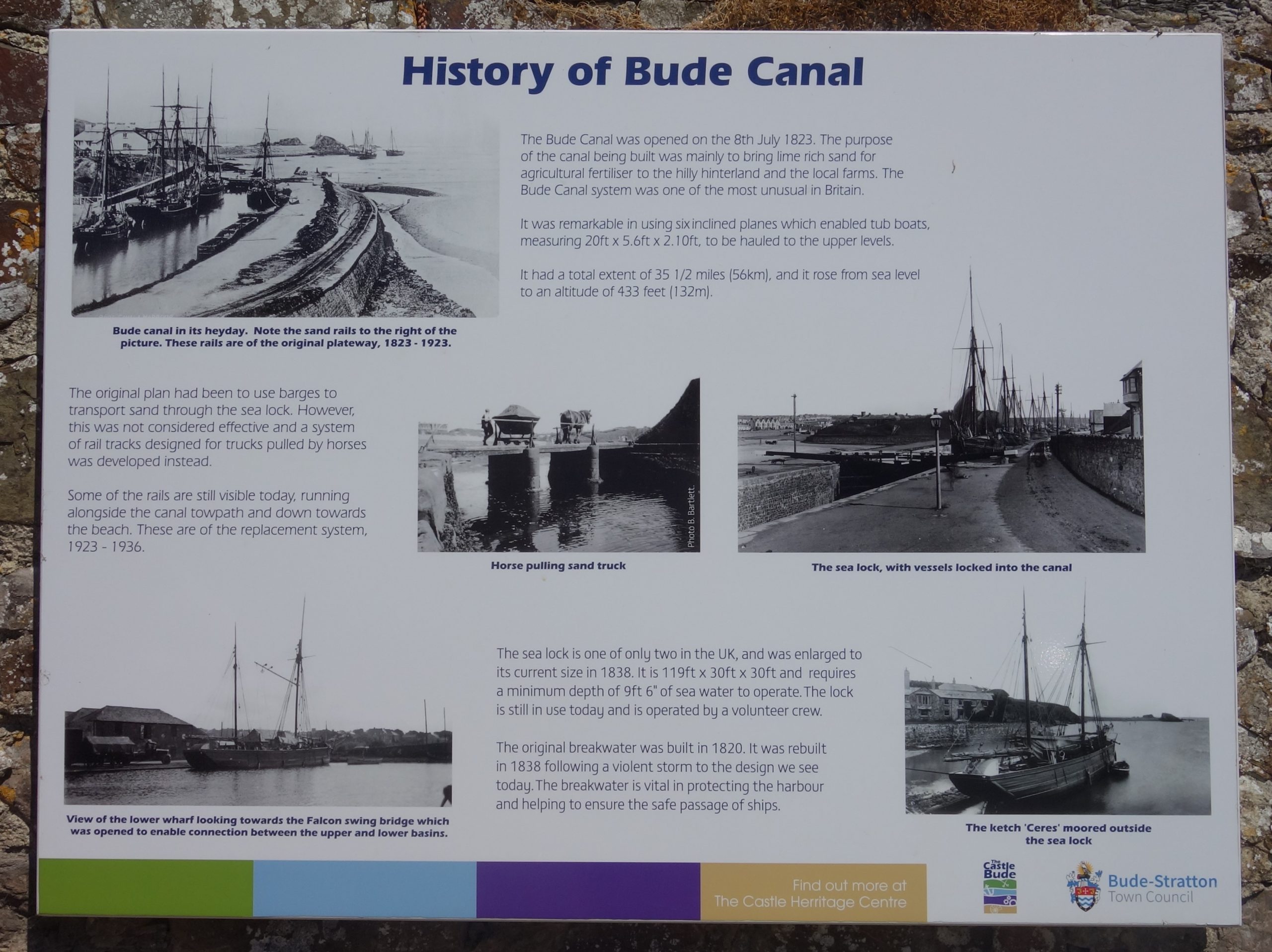
The Bude Canal went under the line just east of the station and the Bridgerule village history remarks: “This used to be a very busy area with the railway passing within a few metres of the canal it put out of business and the road now passes over the disused railway line it put out of business!”
The bridge at 222 m. 53 ch. is on the National Highways list of those to be infilled in years to come. The station is 222 m. 60 ch. from Waterloo, so it is not clear whether it is the occupation bridge at the station or the overbridge carrying the B3254 beyond; the HRE [Historical Railways Estate] Group has it as the latter.


The scout continued with the line to his right. He didn’t venture into the holiday park where Whitstone Brick & Tile Works once had a private siding. He stopped in Budd’s Titson to look from the parapets of the overline bridge there.


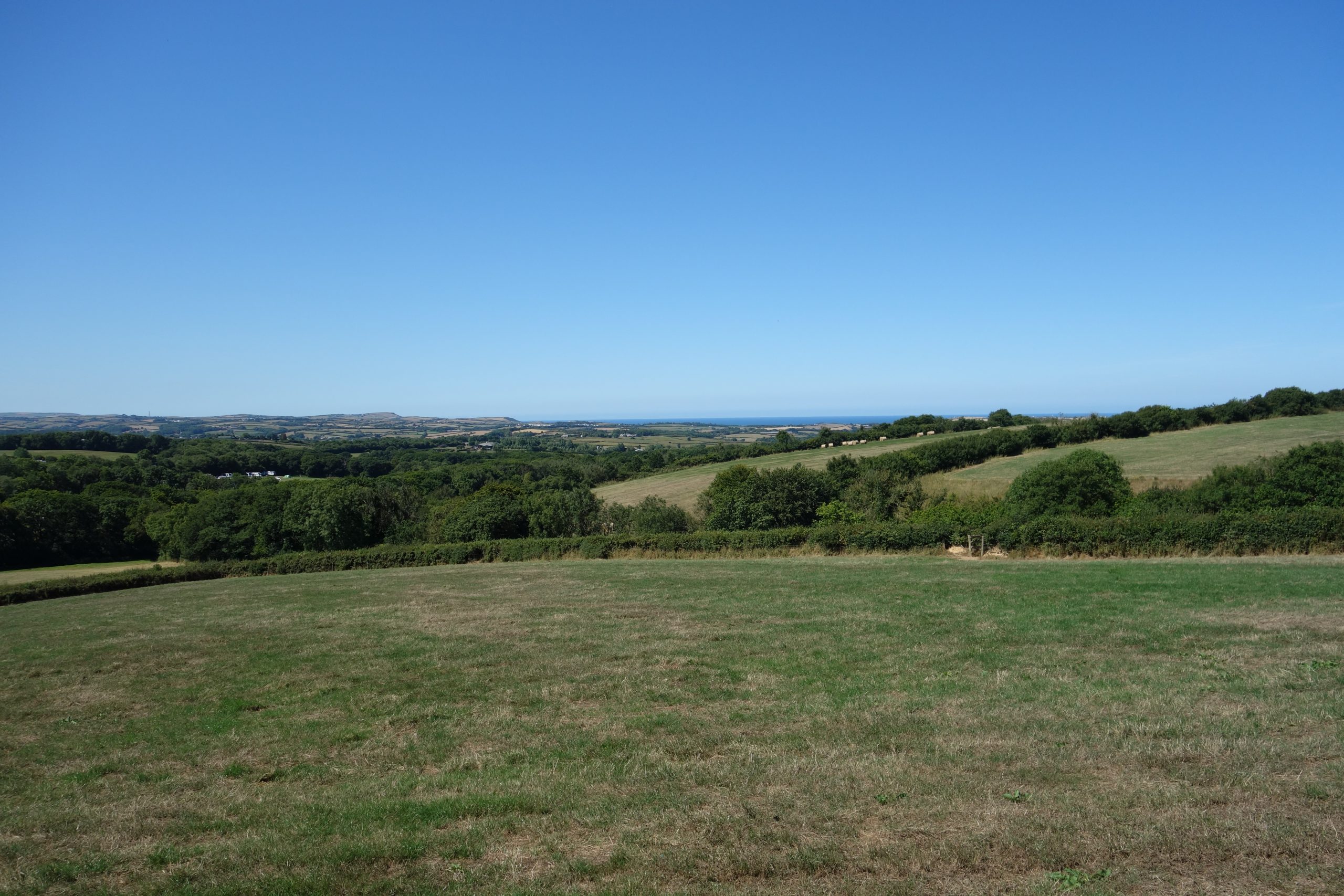
The scout was going to look for the summit of the canal incline but instead sped down the hill to Helebridge.


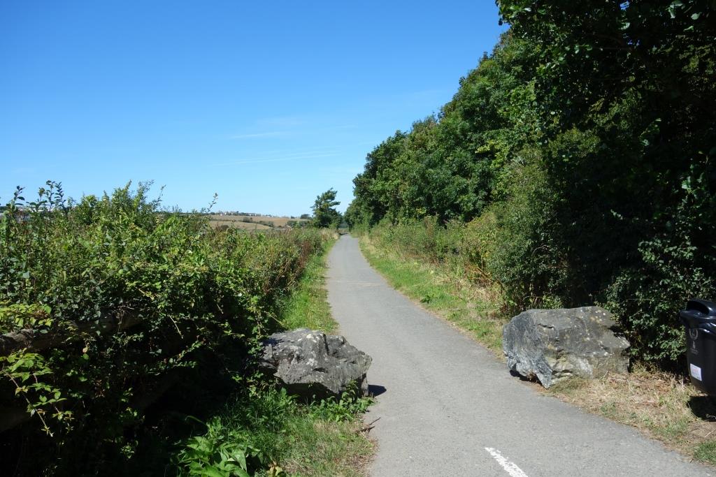
The course of the line is on embankment here; an underline bridge stands off camera at right.
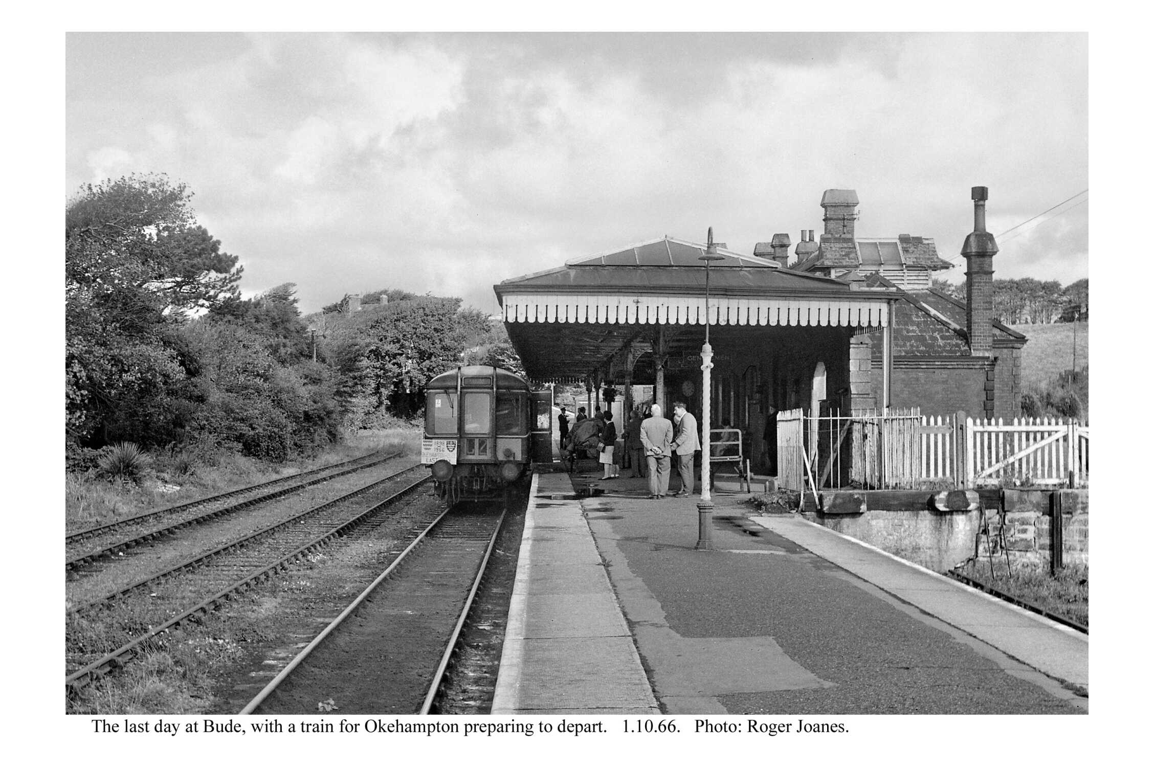
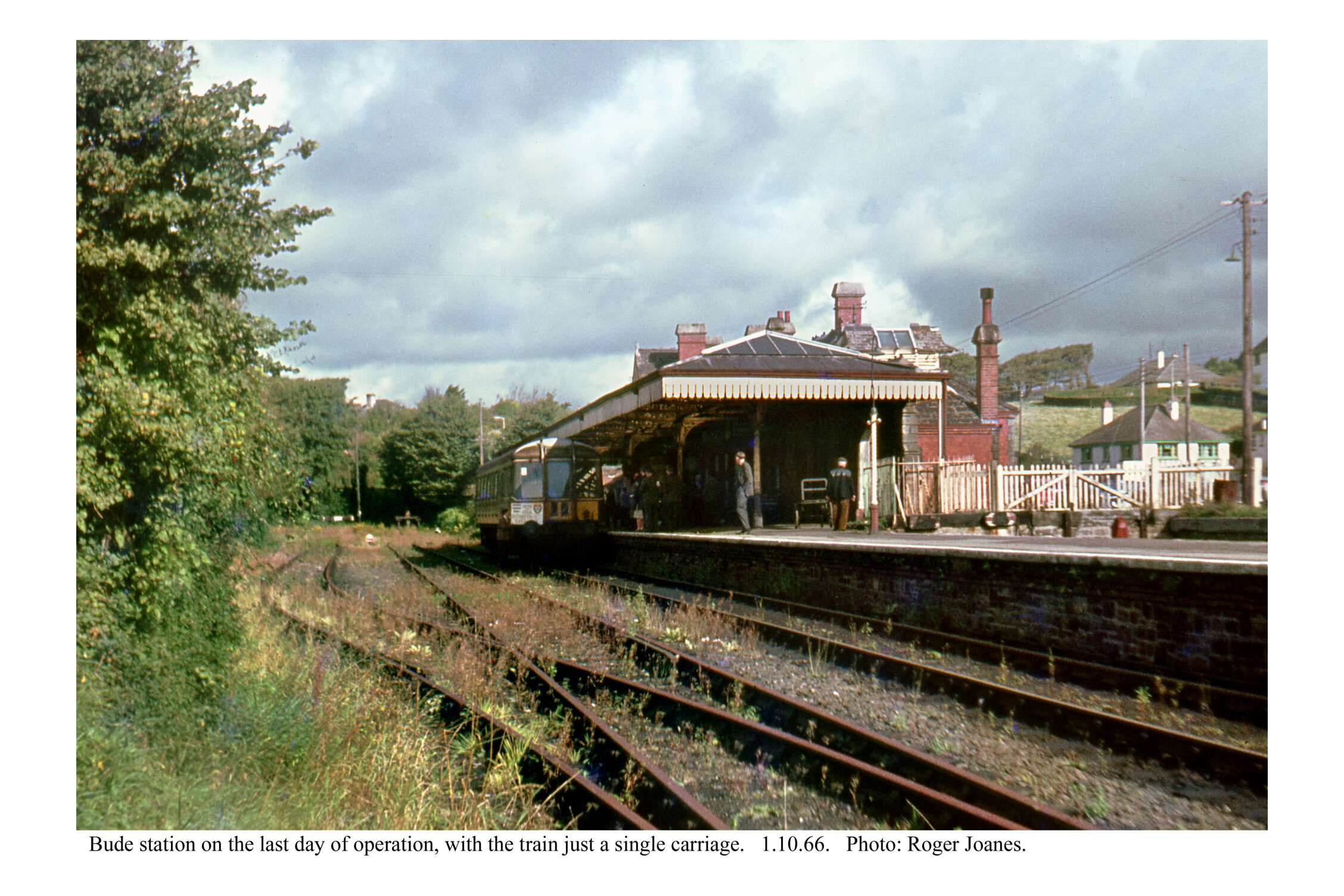
Bude
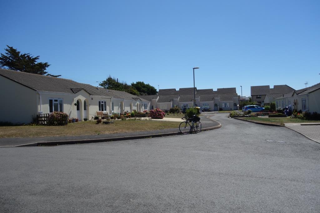
It is an insult that this miserable ghetto is named after a celebrated Southern Railway locomotive engineer. Thanks to this place being dead, almost everyone the scout later saw around the town would have got there using private motor transport.
The line of bungalows at left is just back from where the station building once stood and the pavement is roughly where the platform was.
On a previous visit, many moons ago, the scout felt sure he had seen Southern concrete fence panels as a small reminder of the railway’s presence, but none could be found this time. The widening of Bencoolen Road may have removed any last evidence that this had once been a rail terminus.
March, 2025: Reference to Google’s spy camera proved that the scout’s memory had been sound.
A section of panelled fencing and a gatepost remained at the entrance to the former slaughterhouse in 2015. It had become partly obscured by growth in 2016. And had been partly replaced by a wall and other building work in 2022. But three panels on the right may still be there under the growth. This would be the only fabric of the station left.
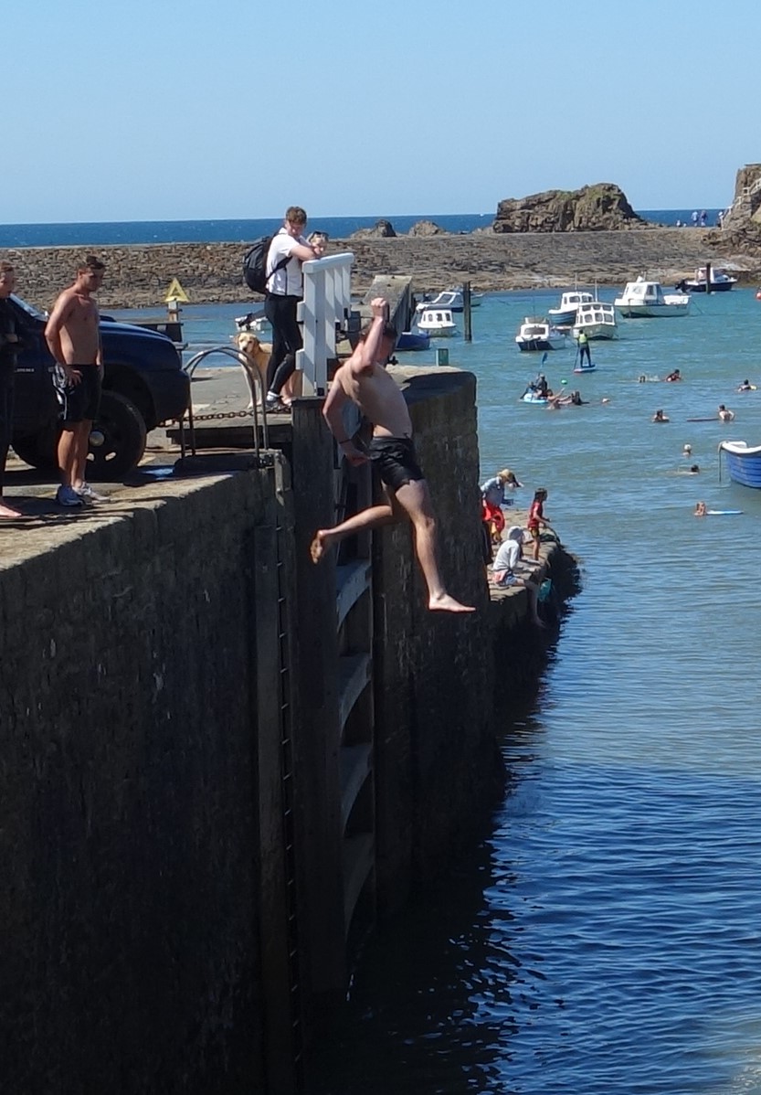
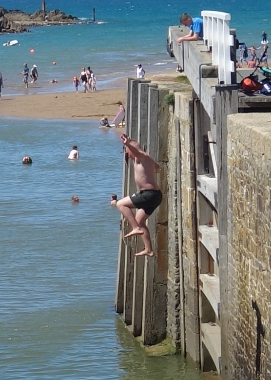
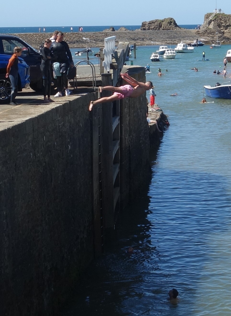
The scout set off along the 47 chain Bude Wharf Branch (BUW).


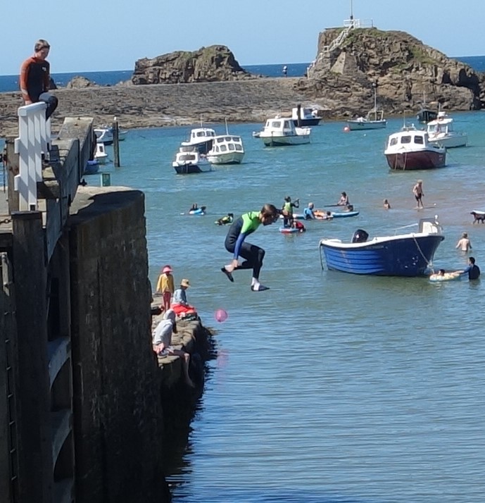
The path soon brought him to the basin and the madding crowd.


The 1811, Salcombe-built ketch, “Ceres,” entering the harbour, and sand being loaded and trammed, can be seen five minutes into this amateur film shot around 1930.
The scout wandered along the cliffs to Maer Down and then rode inland, thanking providence, as he observed the agitated drivers looking for parking places, their cars looking like jelly moulds into which fat passengers had been set, that his choice of transport spared him this ordeal.
The town’s Co-op eluded the scout, as did any convenience store, so he bought his lunch at the filling station opposite the former railway station.
The scout had seen a large gathering of Harley-Davidson motorcycles in the harbour car park. Some of the owners were “gassing up” their machines’ small tanks here. The fuel consumption of these classics is about twice that of the railway’s utilicon.
In search of a place to stop for lunch, the scout made for home along the canal.


The Bude Canal & Harbour Society had opened their boathouse at Helebridge on this Sunday afternoon. The scout took a late lunch in the pleasant surroundings before entering the exhibition.


The scout returned to the junction by a more direct route and clocked 48 miles riding.
Halwill Junction
A couple sitting outside the Junction Inn were sipping glasses of cold lager. The scout put thirst out of his mind and went past them to see the former Winsford Cottage Hospital, now owned by the Landmark Trust and made into very stylish holiday accommodation.


Railways nationally could be an aid to recovery, but the majority would rather suffer illness than change its habits.