
The scout had ridden from Ivybridge to Newton Abbot in 2017 but had ceased following the main line at Fishacre Mill. In 2025 he rode twice from Newton.
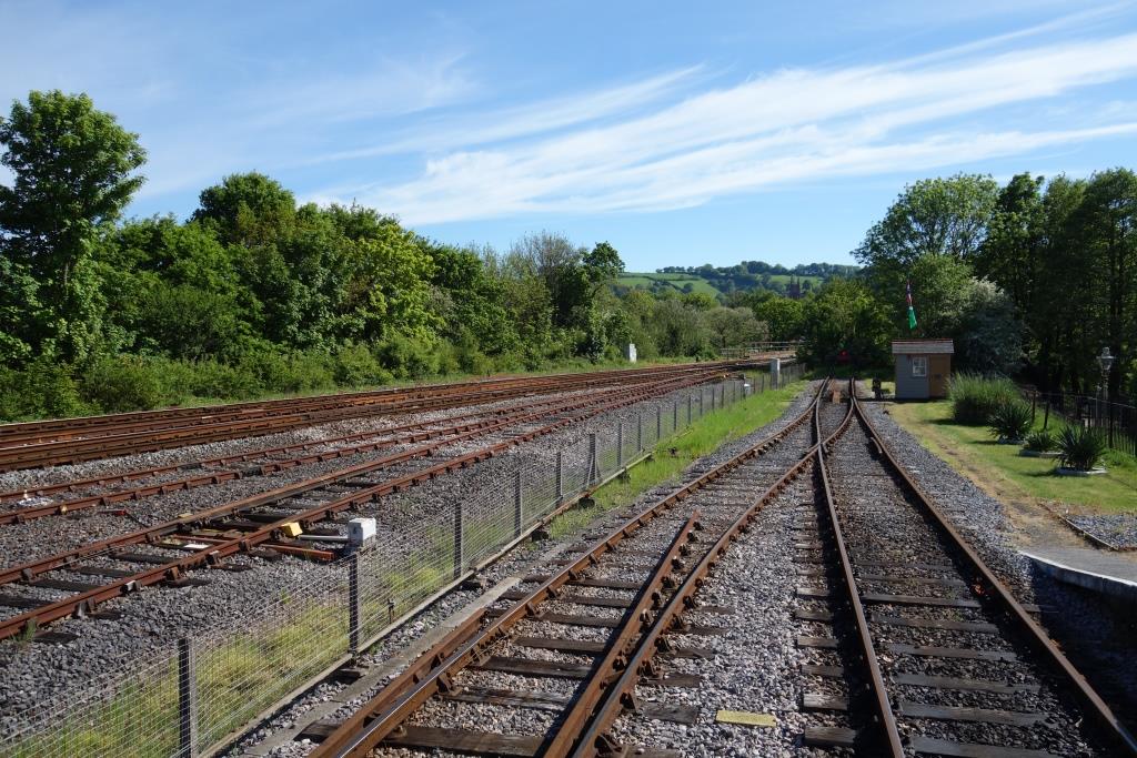
Newton Abbot
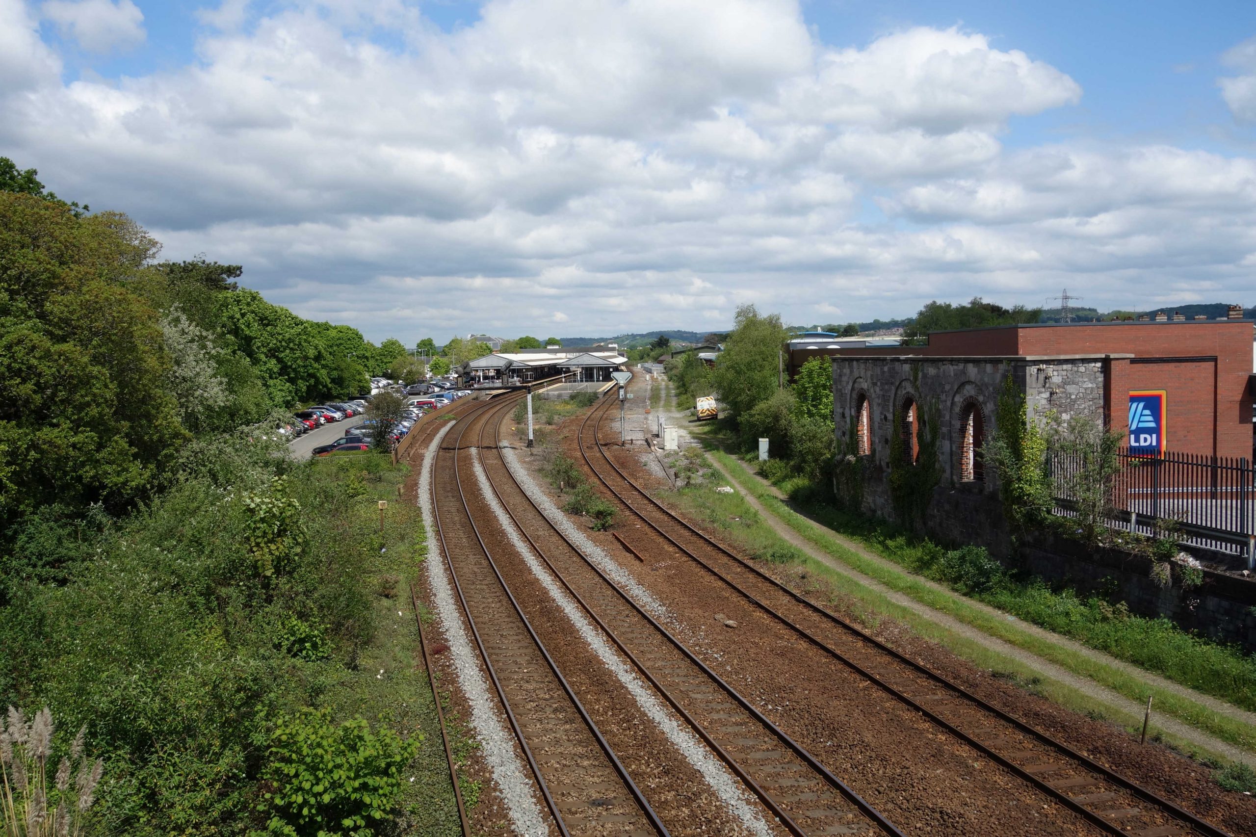
The extent of the station can be imagined from this track plan. A line drawn across the plan at one point would have crossed 26 tracks. +
This photograph was taken in 2025, shortly after restoration by volunteers from the South Devon Railway. +
According to Kevin Dentith, the former Devon County Council Chief Engineer (Bridges & Structures), the temporary “Tubewrights” footbridge beside the new Torquay Road Bridge was installed because the pavement was considered inadequate. The footbridge was closed when an inspection revealed internal corrosion of the tubes. Why the footbridge, which was installed long after the end of steam traction, had smoke deflectors attached is a mystery.
The county used to keep one or more of these bolt-together bridges in the store at Lemonford. One was used over the Exe when Station Road Bridge collapsed in 1974.


The murals in Keyberry Road underpass.


Dainton


On the left, between the bridge and the tunnel mouth, lay Dainton Tunnel Siding, whose level gave away to passengers the severity of the main line gradient. Opposite, lay the Atmospheric Pumping Station, which was never used, and Dainton Quarry, with its sidings and narrow gauge lines.
Were the signal box still standing beside the Down line, it would be obscured in this view. The later, cedar-clad box survives near Westbury Station. +


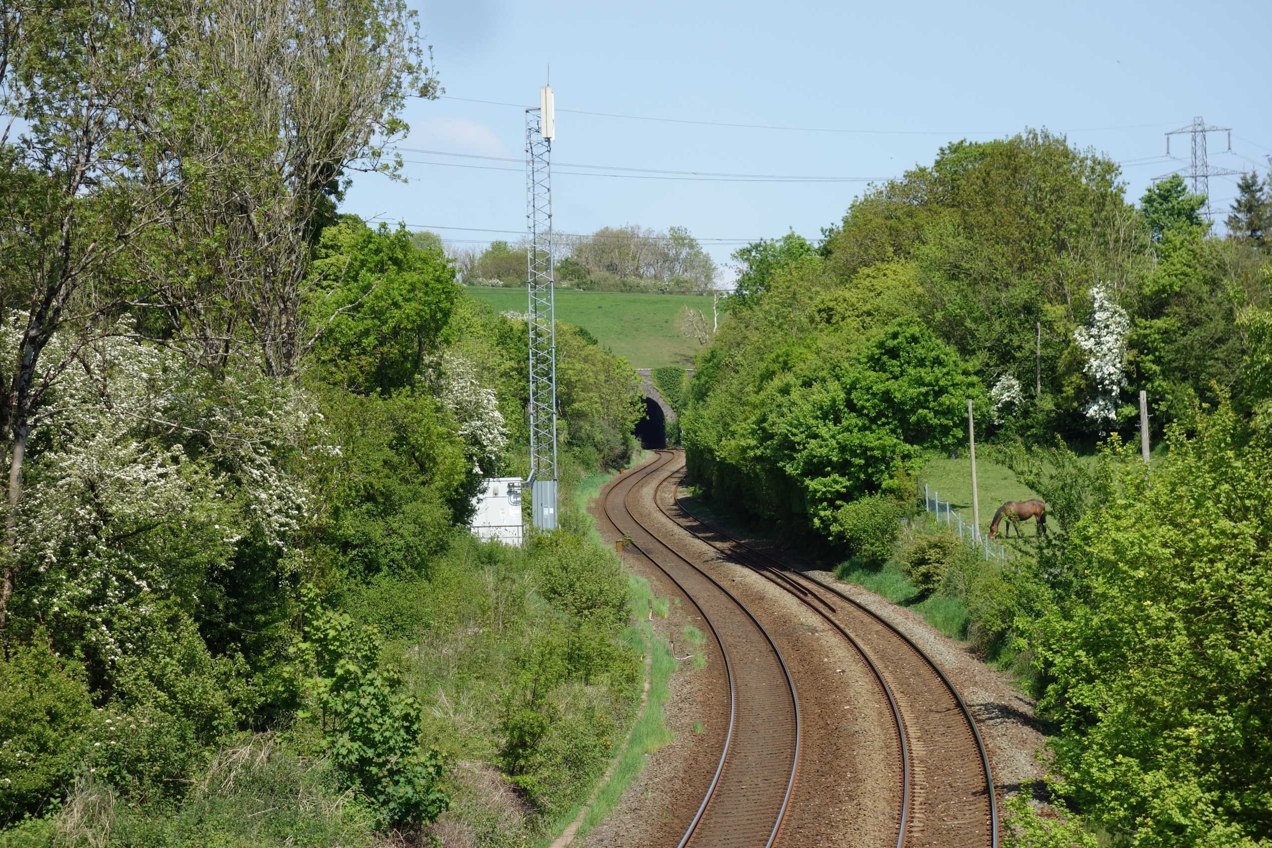
The railway can be seen just beyond the row of pylons. +
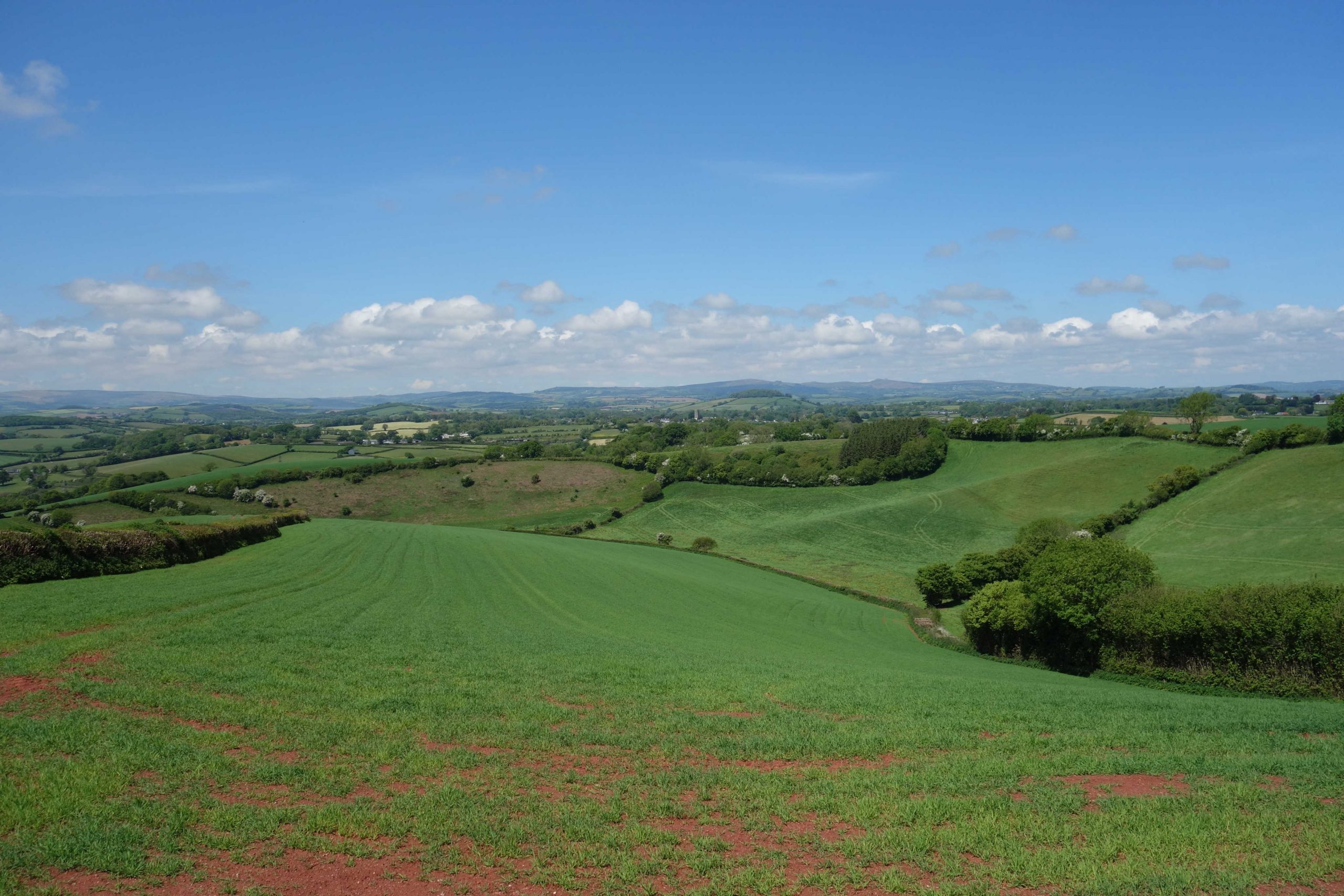


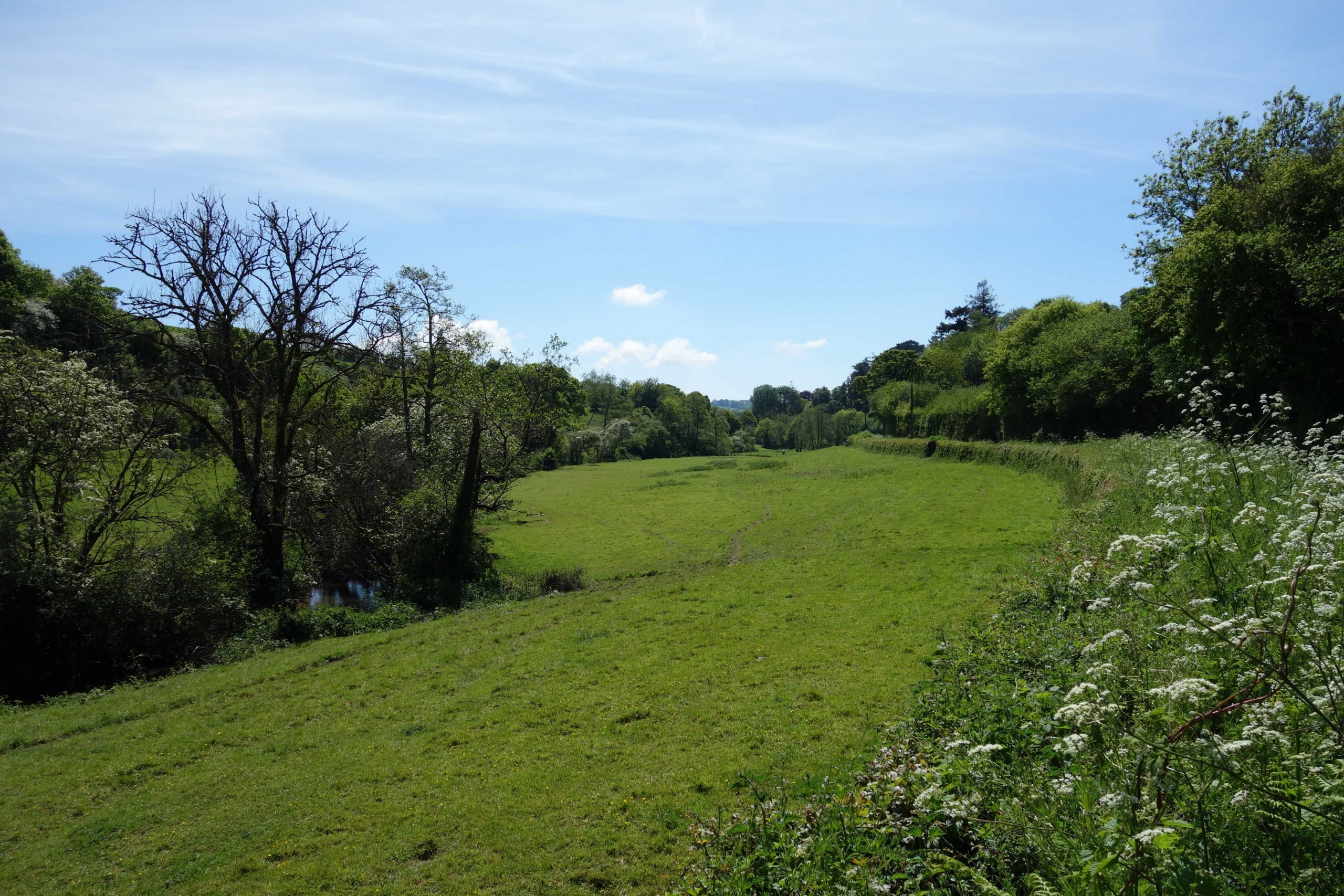
Fishacre Mill


To the right of St. Mary’s Church can be seen the castle and the pumping station chimney. +
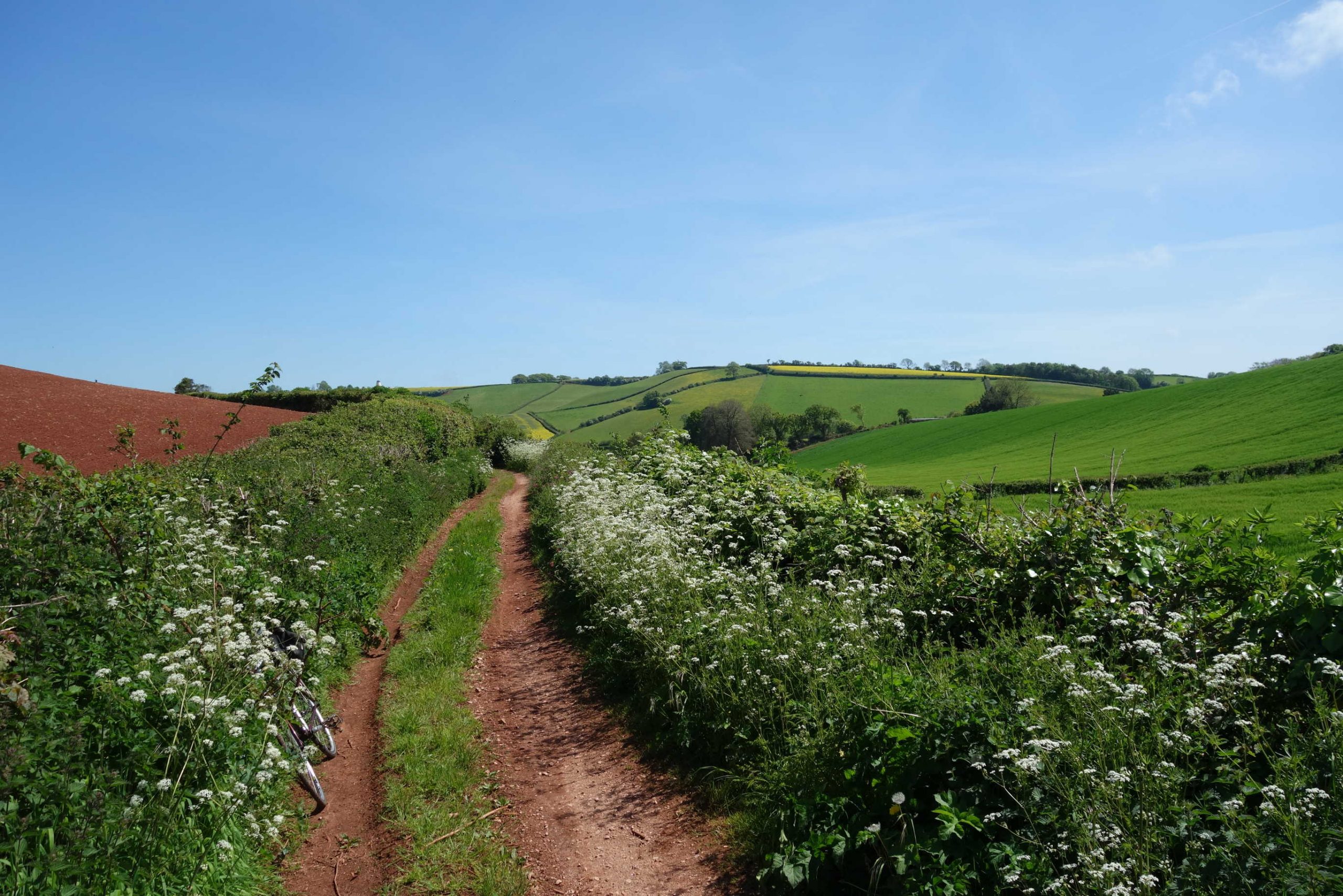
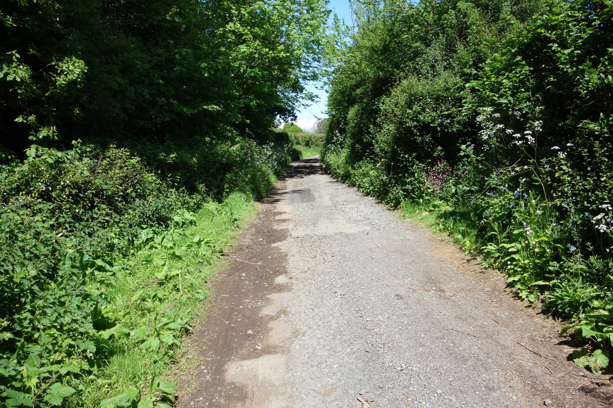
The lane continues to the Water Treatment Plant’s extraction point beside the Dart. On the ride that took him this way, the scout thought of crossing the fields from Hampstead Bridge and climbing over the fence at the private railway’s station, which would have been a lot quicker than returning to the village and making for the main road.


Ashburton Junction
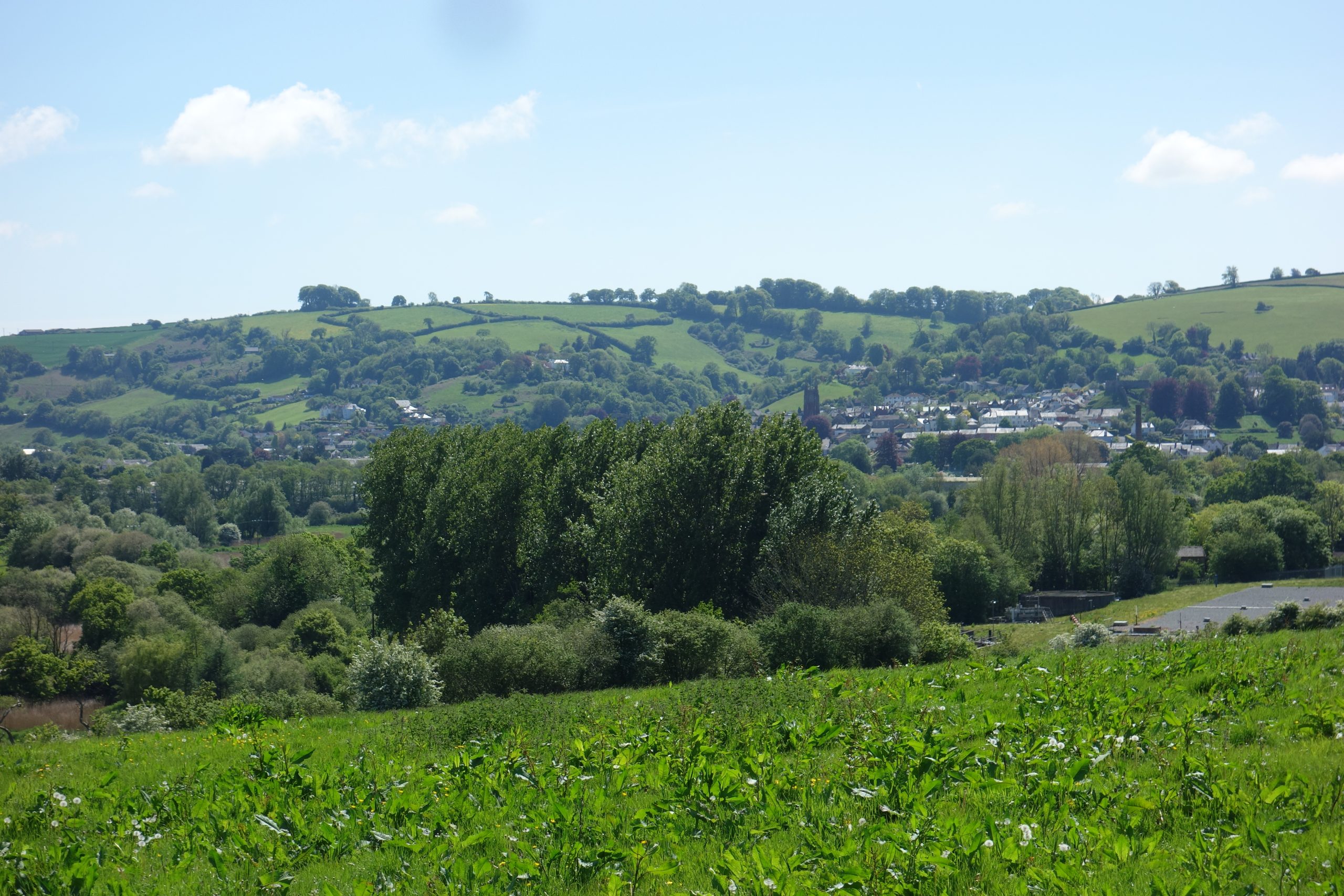
Totnes


On his second ride, the scout ate his lunch on the platform at the private railway’s Totnes Riverside and then caught the train to Staverton, taking quiet lanes to Ipplepen where he joined the turnpike.


As the train ran alongside the Dart, the scout was put in mind of the Teign Valley and so he took these moving pictures.
June, 2025: After riding from Newton and following the Ashburton Branch, the scout took these photographs at Totnes.


These were taken a few days later, after the scout had journeyed on the Ashburton Branch and followed the course of the Quay Branch.


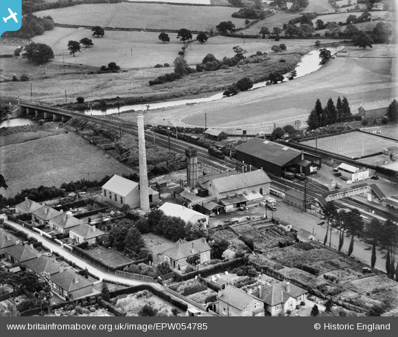
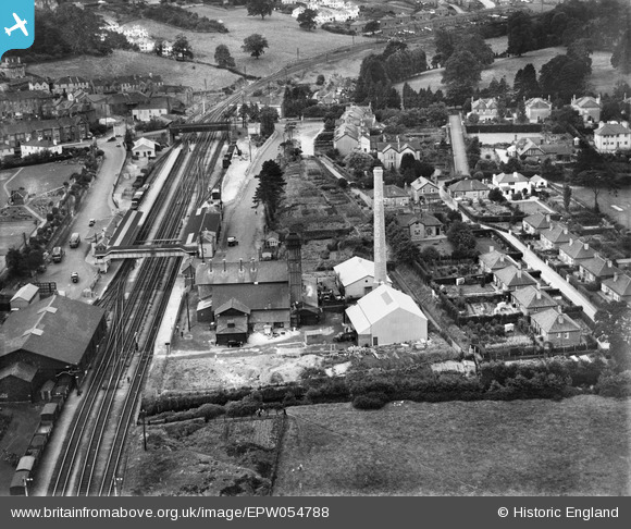
River Dart Viaduct is at left. The large goods shed is obvious. Above it, curving beside the racecourse is the Totnes Quay Branch. The racecourse closed at the outbreak of war.
The dairy factory expanded onto the land beside the river and continued to send milk by rail until the mid 1970s. In 2007, Dairy Crest closed the operation and 150 jobs were lost.
Dairy Crest agreed to sell the site for a peppercorn to the Totnes Community Development Society, whose “Atmos” project hoped to provide affordable housing, commercial spaces and amenities. The effort did not succeed and the site was sold for £1.35-million to a private developer in 2021. A planning application was refused in 2024 and the site remains derelict and a danger.
Station Road crosses the line at the start of the climb to Rattery. Both frontages are clear to see.
Totnes Quay Branch


