
A week after following the Callington Branch, the scout returned to Plymouth, intending to finish the route refresher of Okehampton to Friary and revisit the two short branches from the former Southern terminus.
First, he rode to Devonport to get better photos of Valletort Road Bridge and the mouth of Devonport Park Tunnel. On the way back, he scrambled down from Fitzroy Road to view the partly blocked arch.
Then he returned to North Road and carried on to Mutley, where he thought he may find a “greasy spoon” for some breakfast. Finding none, he rode on to Laira and tried to find a vantage point overlooking Lipson Junction. The lineside was too overgrown and so he went beneath the main line inside the Laira triangle and then out again beneath the old South Western loop.
The scout had thought that he could follow the loop but had to resort to going along Lipson Vale and over the hill to Lanhydrock Road, which joins Embankment Road between Mount Gould and Friary junctions. Then he followed the line to Tothill Road Viaduct and got the photographs he needed to finish his journey along the former main line from Okehampton.
He took a few shots of the North Quay Branch before heading towards Cattedown. Opposite the Victoria Wharves entrance he found the New East End Café and Take Away in Coxside and, it being nearly midday, decided to quell his rumbling tummy.


Cattewater Branch
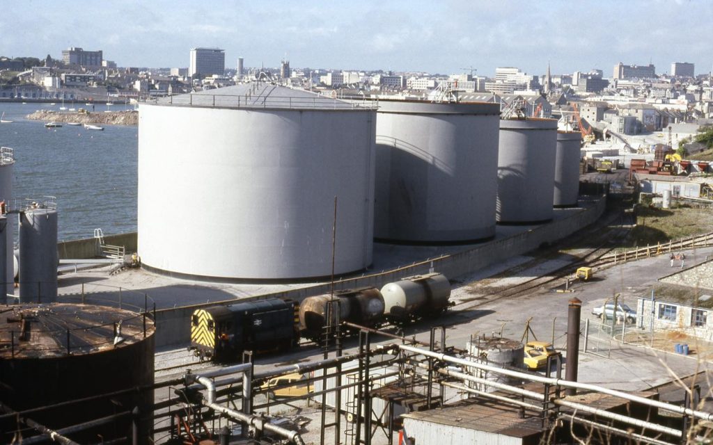
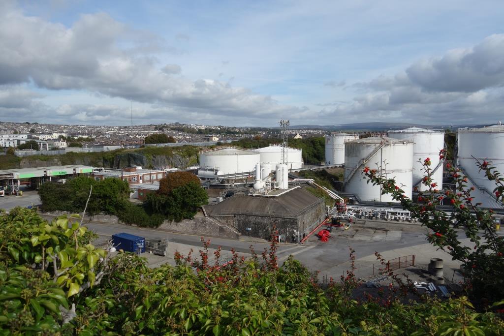
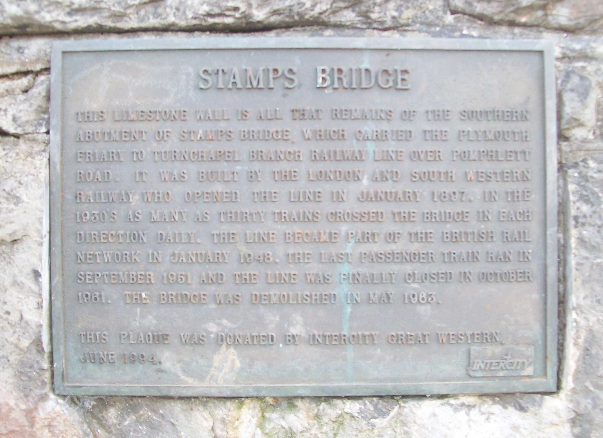
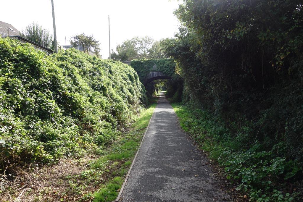
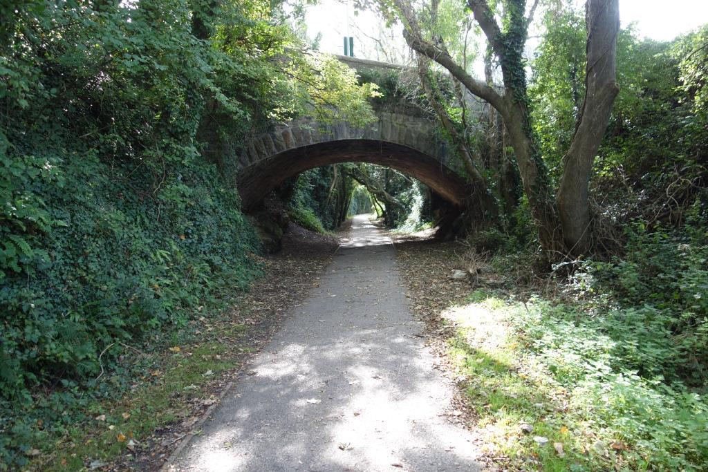
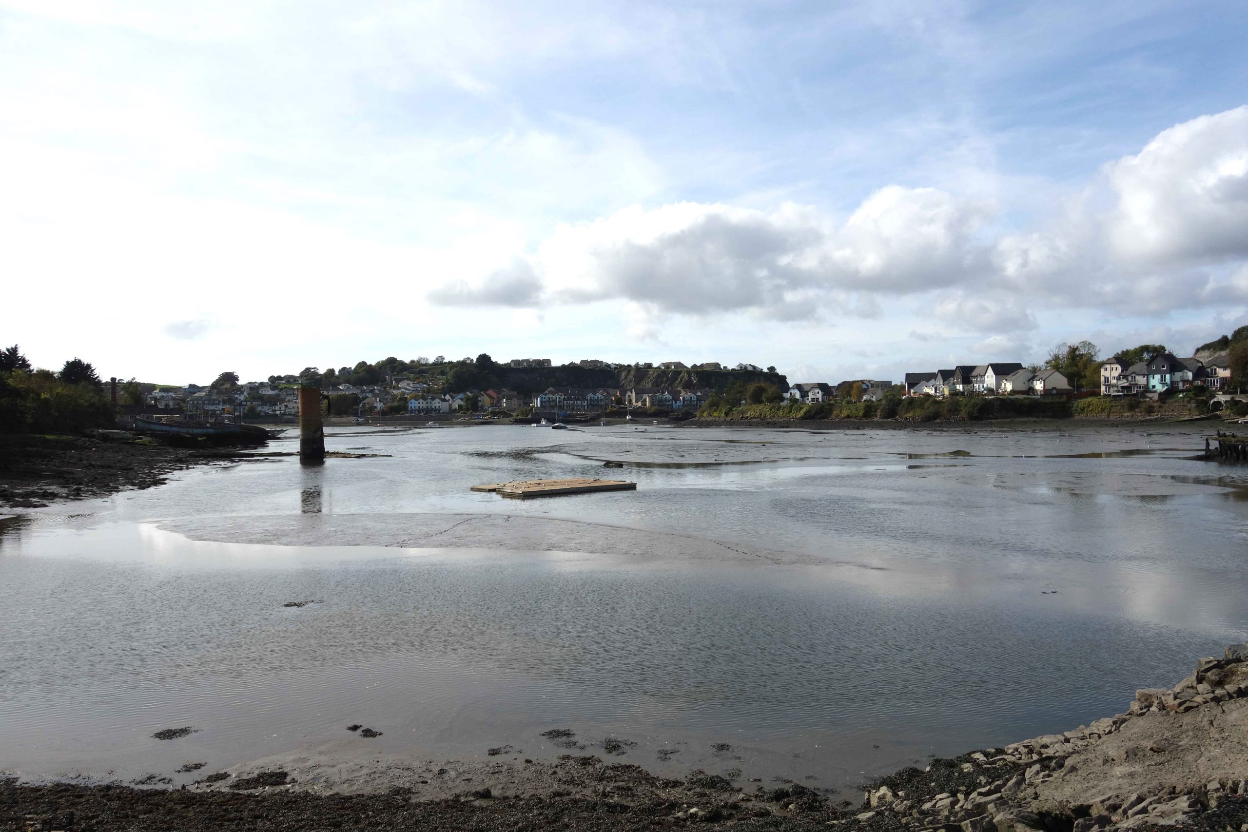
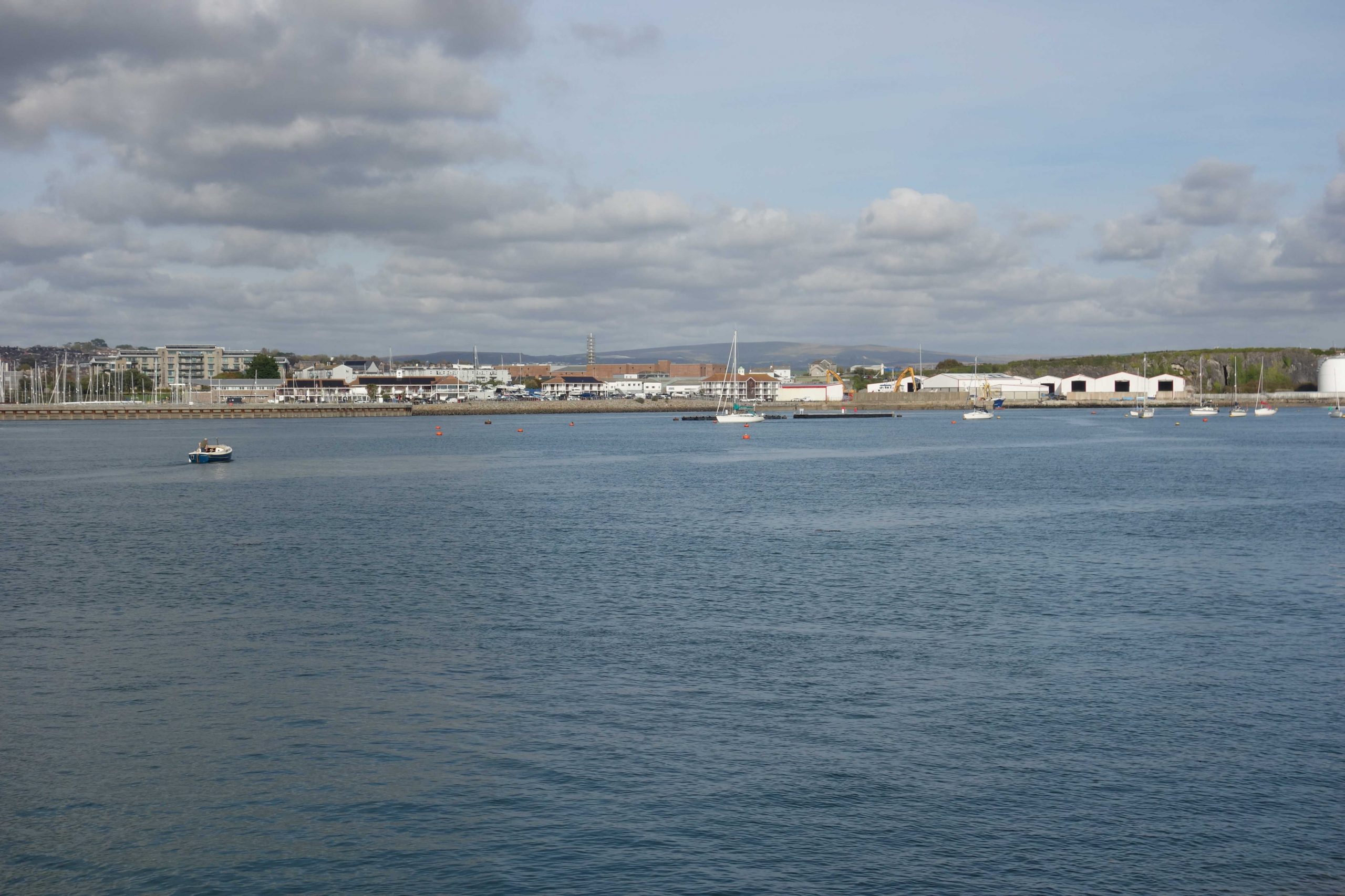
The Turnchapel Branch was met by the Great Western’s line, and the Cattewater Branch diverged, at Cattewater Junction. The scout walked the line from Friary to Plymstock and from Cattewater Junction to Victoria Wharves in 1989, or thereabouts, but only the photographs of Friary have been found.
At the time, there was inwards bitumen, fuel and L.P.G. and outwards scrap iron. Some traffic may have originated at Victoria Wharves.


There happens to be a souvenir brochure in the library at Christow.


Behind that rockface lie the caves where, in 1886, archaeologists discovered “Cattedown Man” and the remains of ancient creatures. +


Turnchapel Branch
The branch opened to passengers in 1897, the year before the Great Western began running to Yealmpton. Turnchapel lasted 54 years, even less than the Teign Valley.
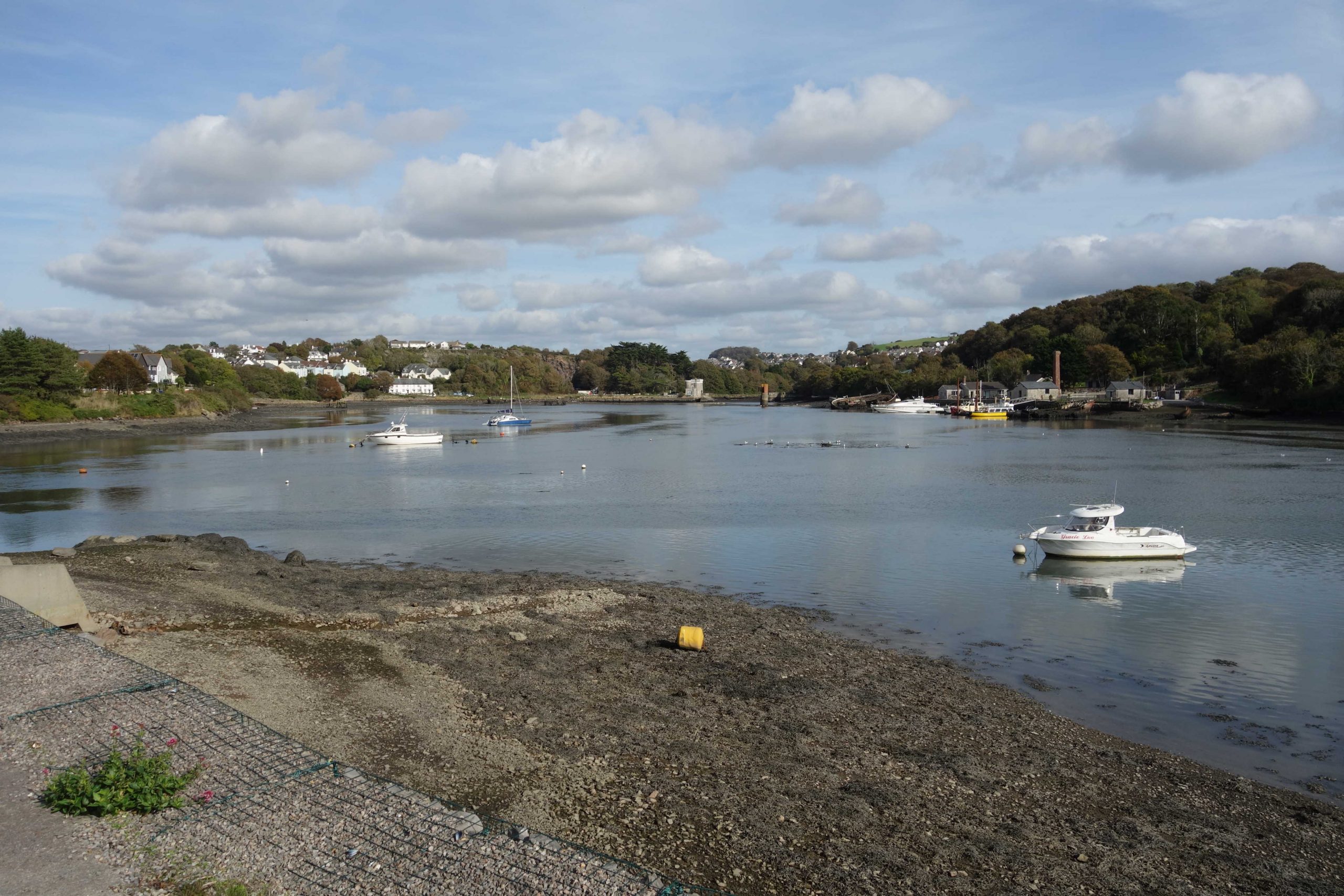
When the scout walked the line as far as Plymstock, the Blue Circle cement works were still sending trainloads to the Chacewater distribution depot. This 60-mile move belied the claim that railfreight was unviable over short distances.


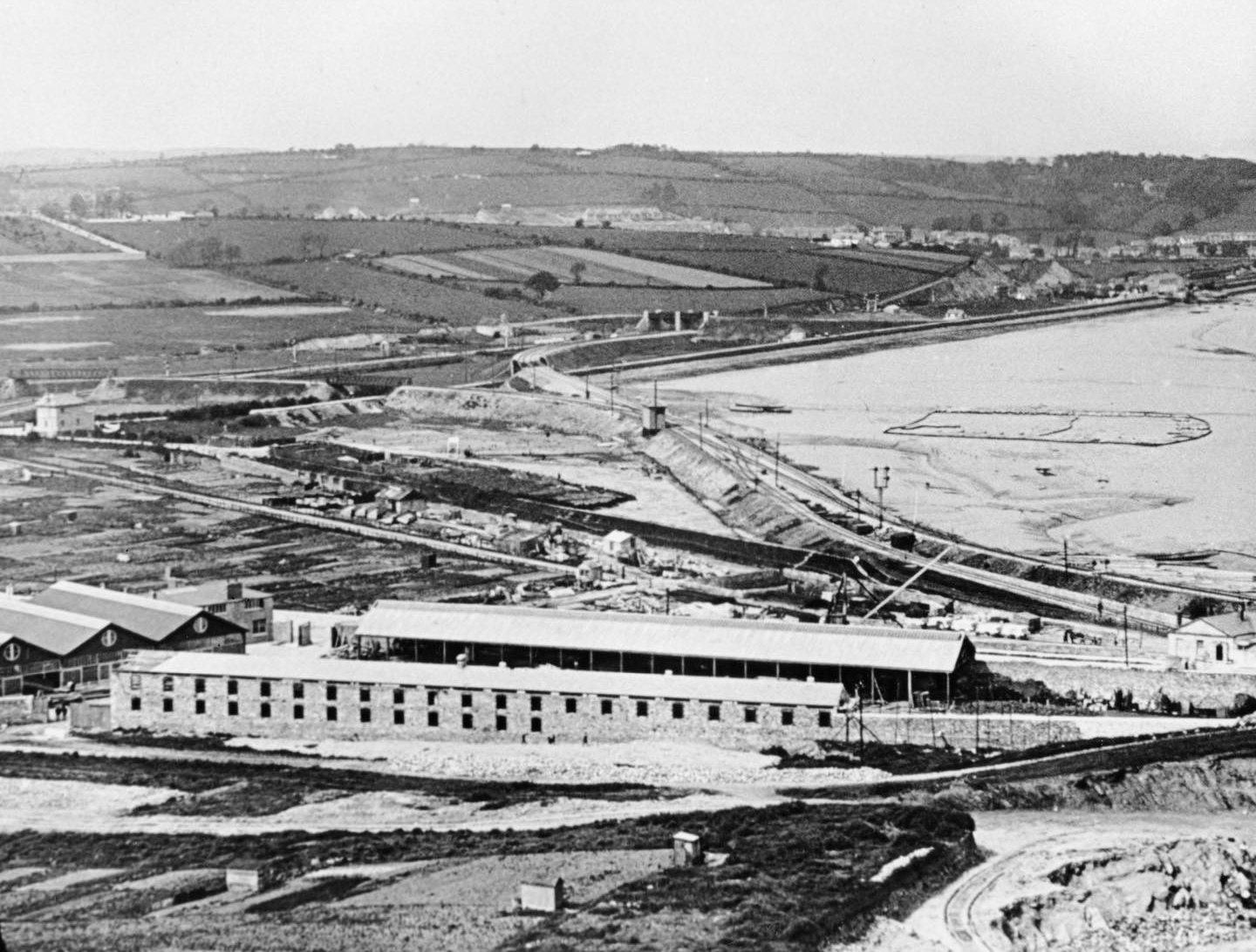
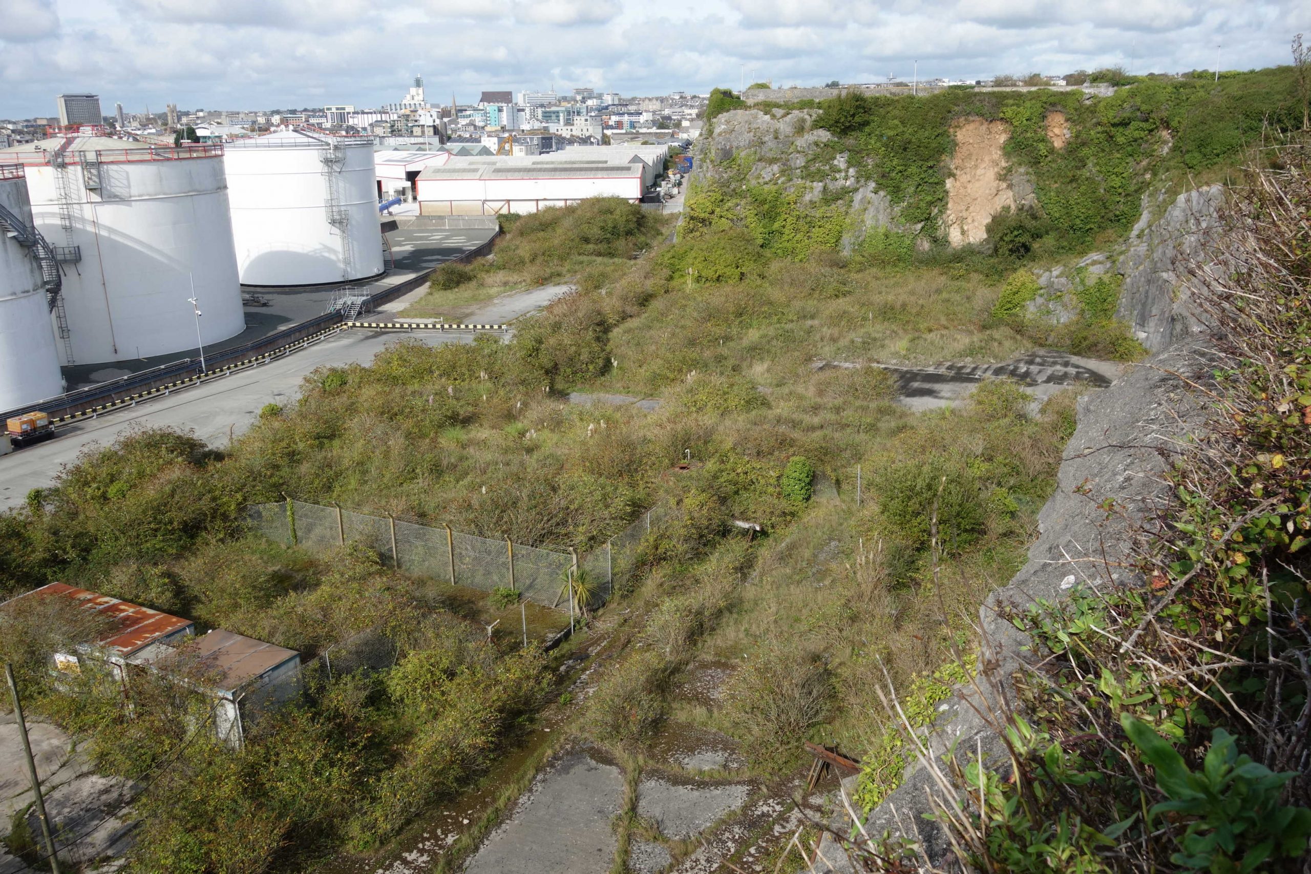
It is not known what function the sheds in the foreground served, or the line at bottom right.
All the land seen would be developed in the coming years. +
Plymstock


Oreston


Bayly’s Siding, Oreston


How they treat their trolleys in Plymouth.
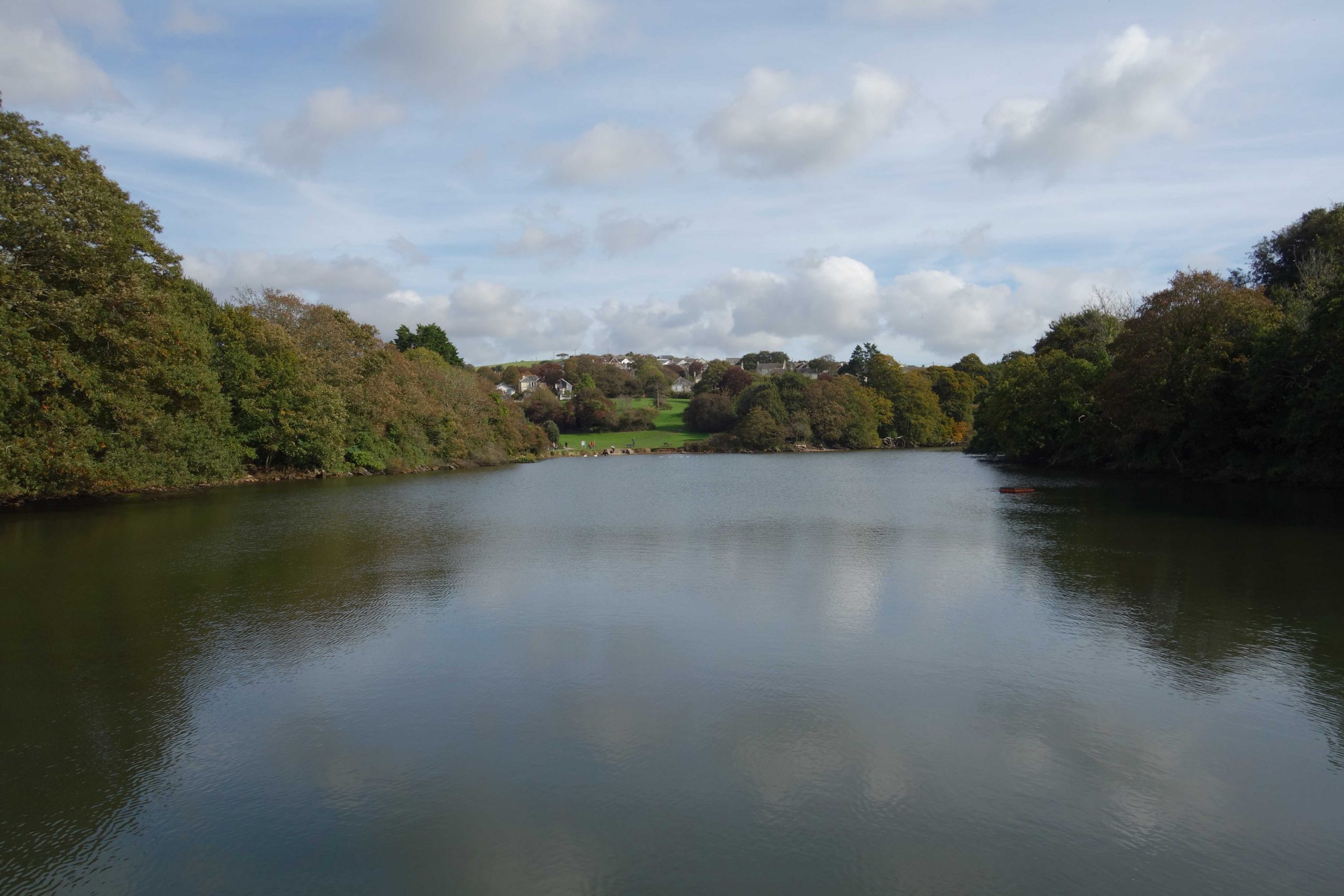
To reach Turnchapel, the scout had to skirt Hooe Lake. Fortunately, a footpath made it a much shorter and more pleasant ride than it would have been by road.


Turnchapel
Once the Southern Railway’s most southerly station.


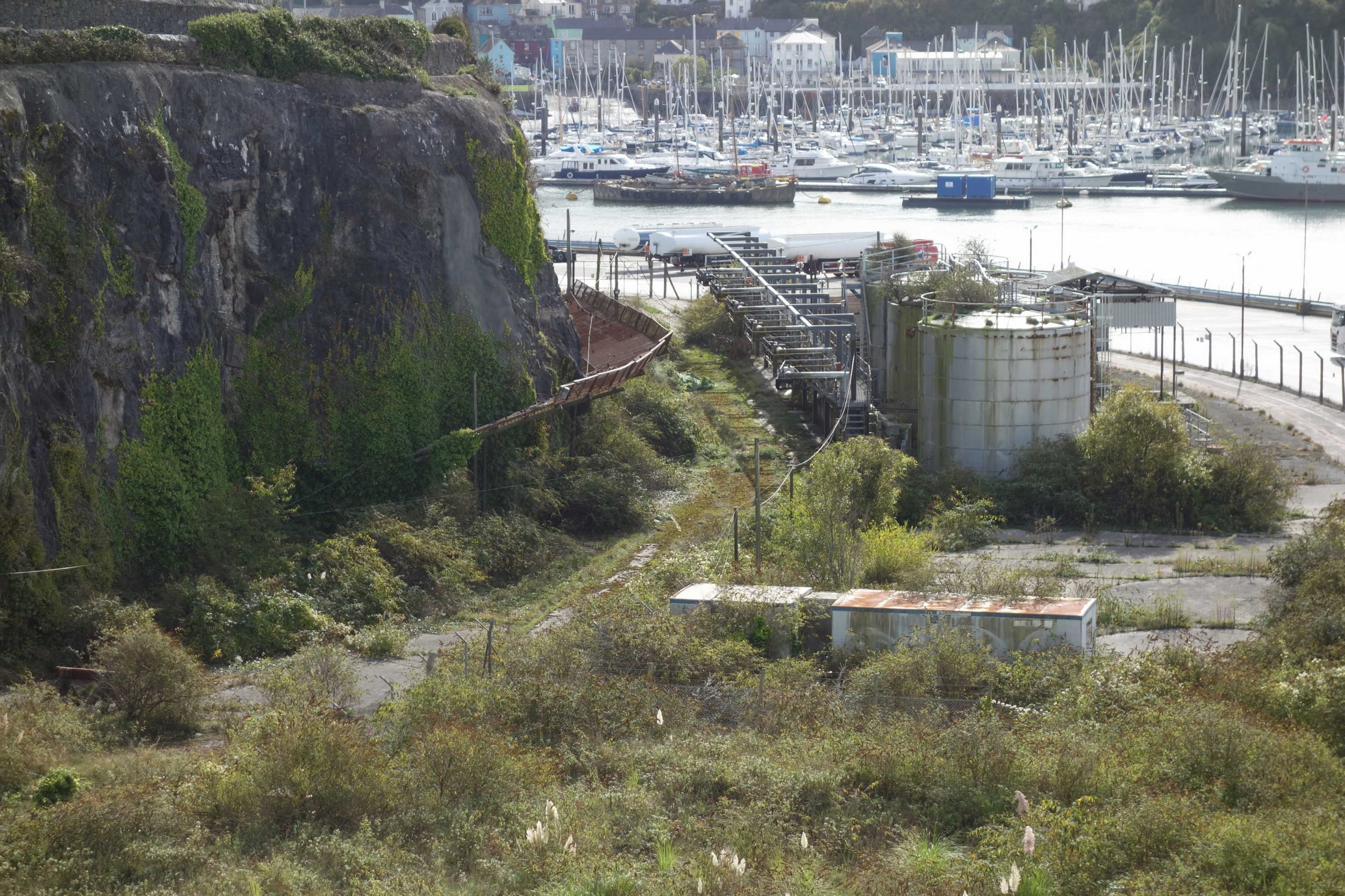
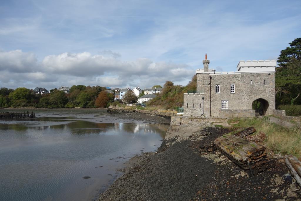
An admiralty fuel storage depot was served by a siding which continued from the station. And a line passed through a tunnel to reach Turnchapel Wharves.
Turnchapel Wharves


Little Turnchapel proper still has the character of a village yet it lies very close to Devon and Cornwall’s only true city.


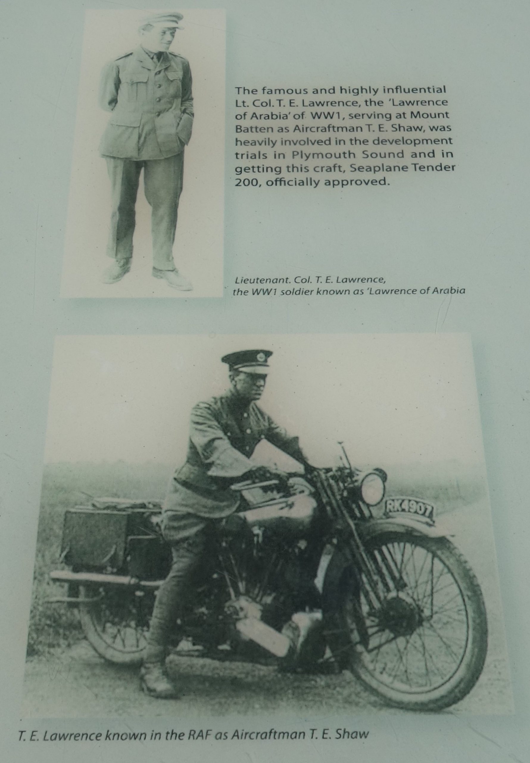
The scout climbed from the village and joined Lawrence Road for the ride down to Mount Batten Breakwater.
The road is of course named after T.E. Lawrence, who sought obscurity after World War I and served as Aircraftman T.E. Shaw at R.A.F. Mount Batten in the early 1930s.
The legendary figure died after a crash while riding his beloved “Brough Superior.”
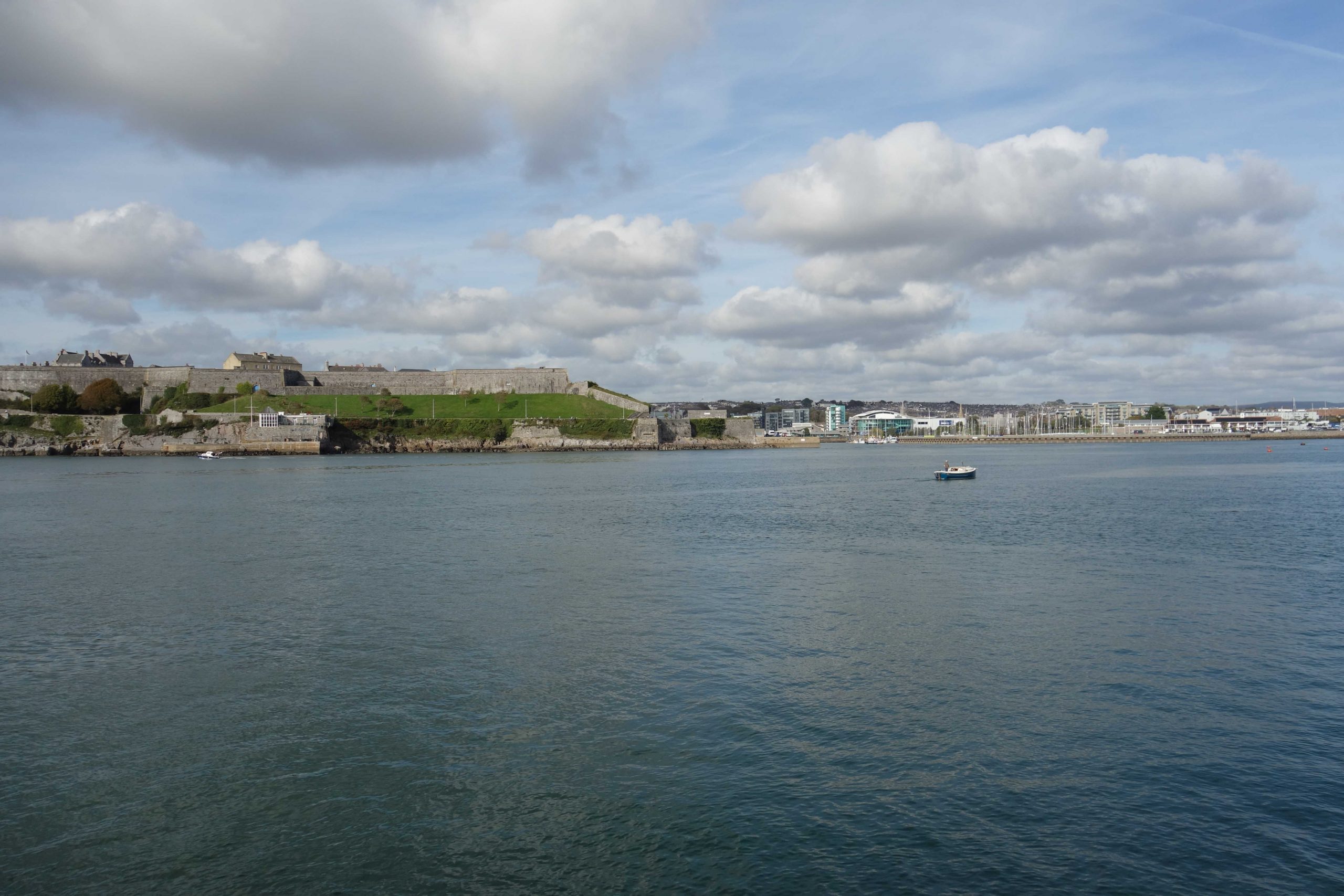
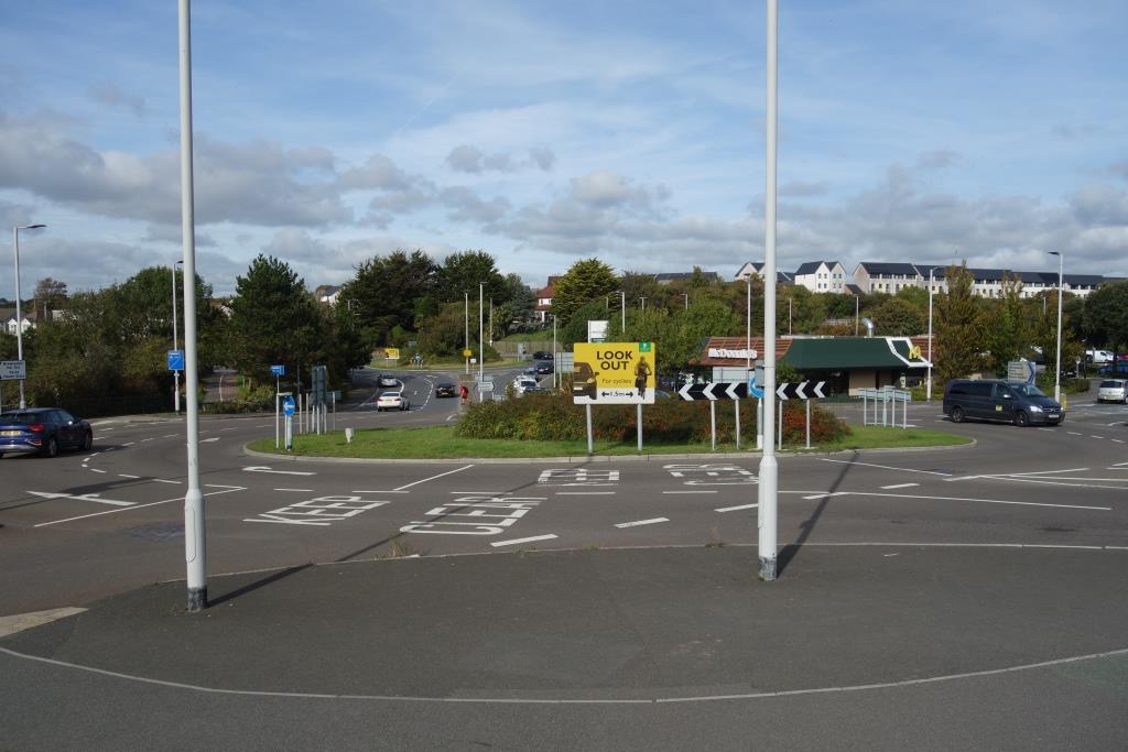
Using the Sound as a big sundial, the scout decided it was time to head for North Road. He took the long way round back to Plymstock, then retraced his route to Friary. He went down to the Barbican, up to the Hoe and then along Abercrombie and Watson’s grand boulevard, Armada Way, to the station.
When he returned to the utilicon in Kingsteignton, he had clocked 31 miles.